Uphill
1506m
Length
16km
Duration
10h
Elev gain
1506m
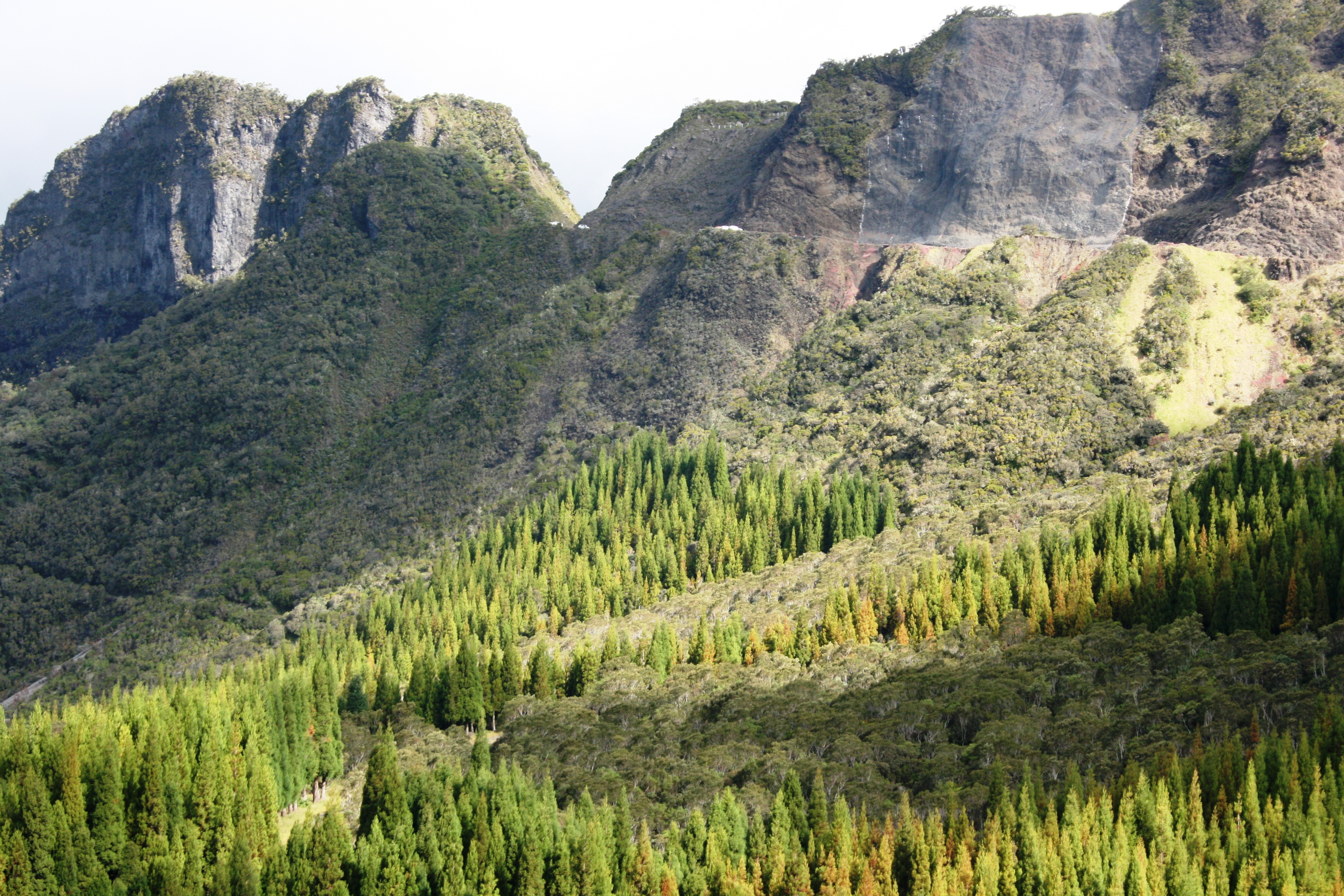
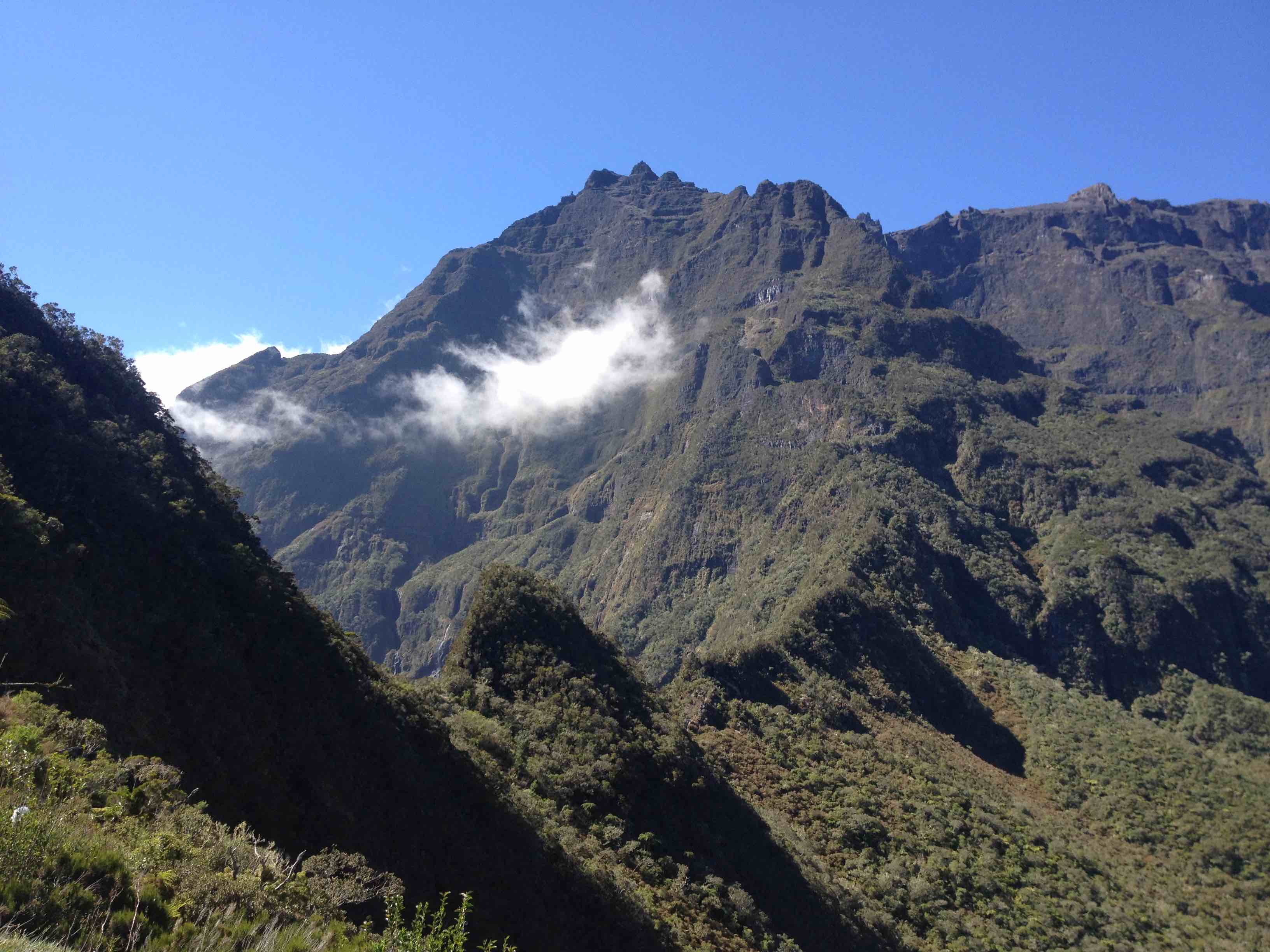
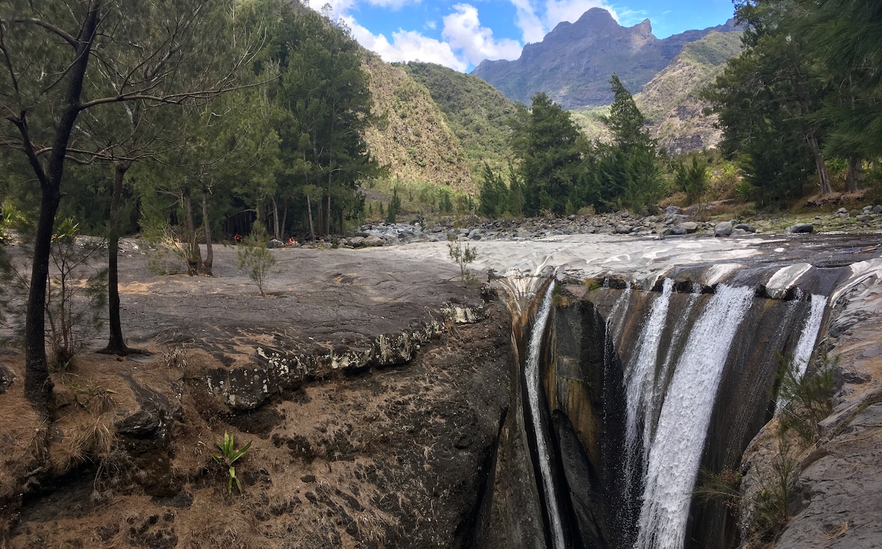
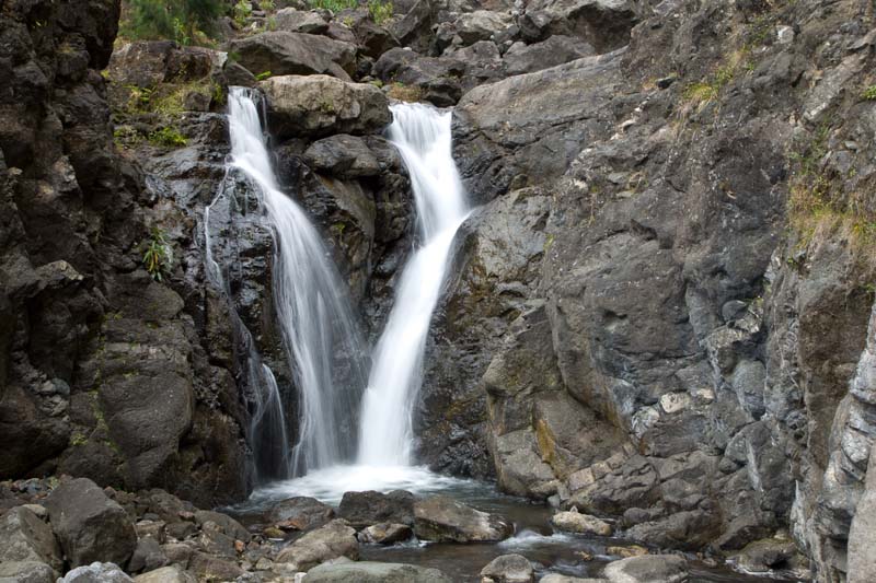
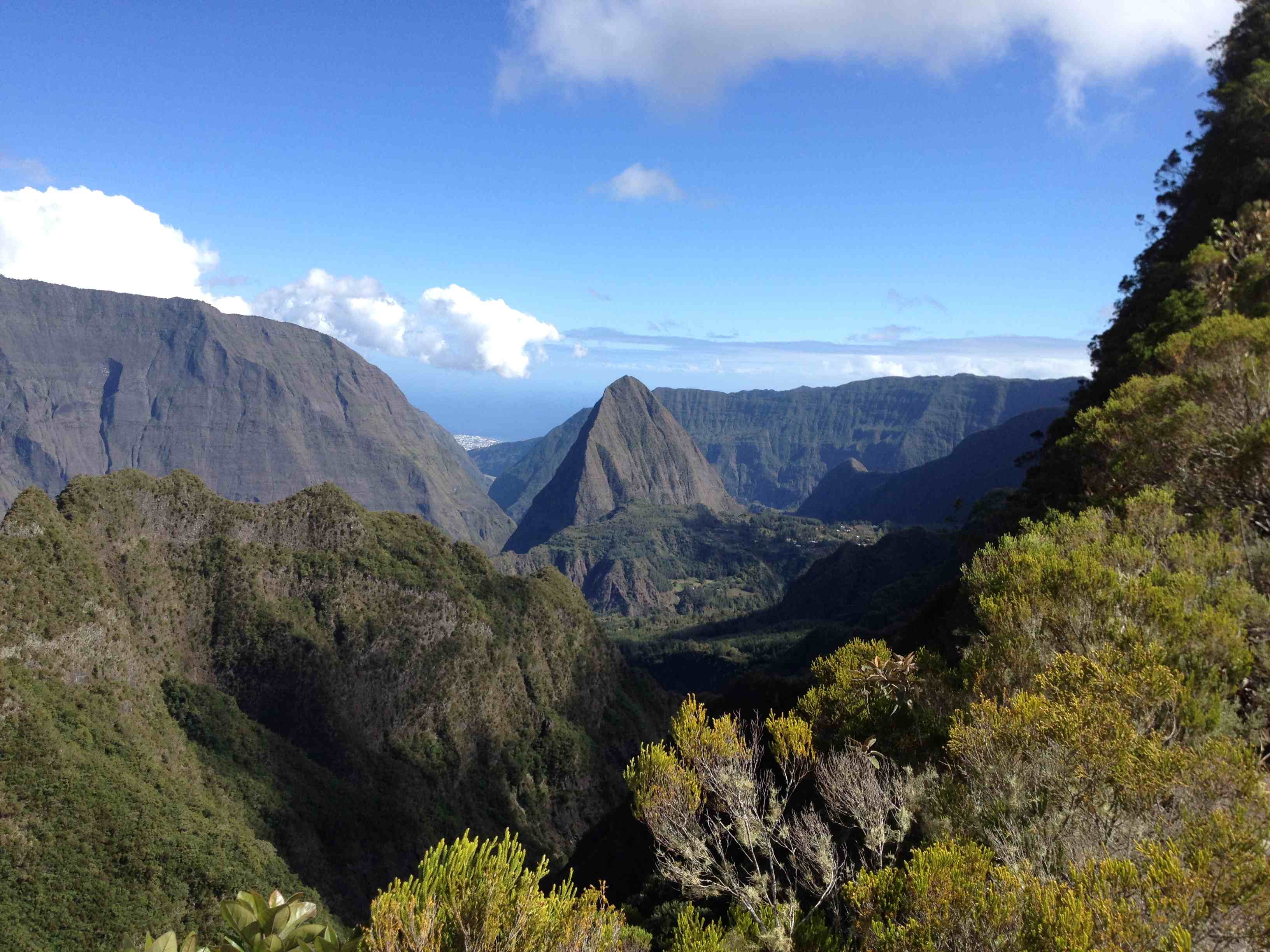
This is a long and sporty hike that sets off to discover the north of the Cirque de Mafate. The route follows the Scout trail, which takes place in the middle of superb landscapes, in order to reach Aurère. Throughout the hike, the Morne de Fourche and the Piton Cabris are visible and change profile for our greatest happiness.

Already more than 200,000 users!
Uphill
1506m
Highest point
1652m
Downhill
1506m
Lowest point
768m
Route type
There and back
Download the map on your smartphone to save battery and rest assured to always keep access to the route, even without signal.
Includes IGN France and Swisstopo.
Authorised
Difficult after heavy rains
0 ratings
Also enjoy:

Already more than 200,000 users!