Uphill
607m

Length
7km
Duration
4h
Elev gain
607m
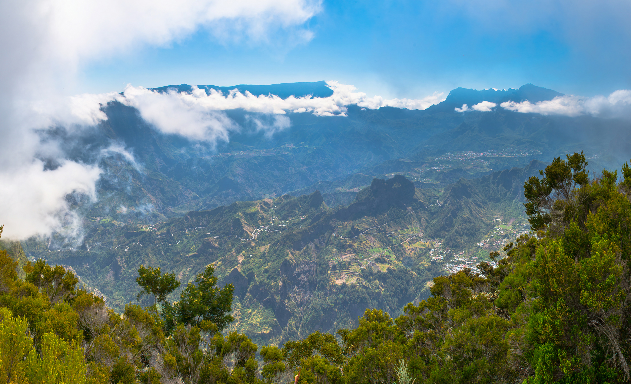
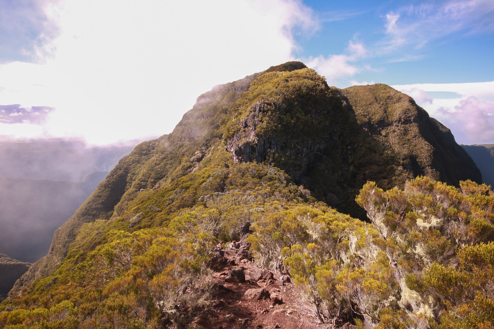
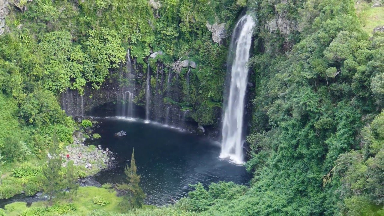
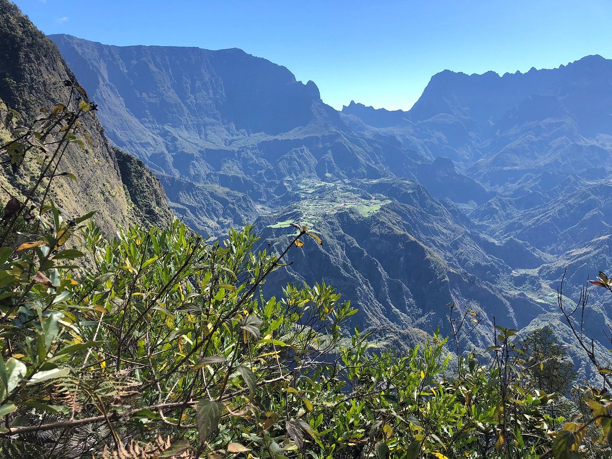
Pretty hike crossing the arm of the Plain at the level of the bridge of the Liane, in a calm and pleasant environment.

Already more than 200,000 users!
Uphill
607m
Highest point
525m
Downhill
607m
Lowest point
248m
Route type
There and back
Download the map on your smartphone to save battery and rest assured to always keep access to the route, even without signal.
Includes IGN France and Swisstopo.
Authorised
Difficult after heavy rains
0 ratings
Also enjoy:

Already more than 200,000 users!