Uphill
925m
Length
14km
Duration
6h30min
Elev gain
925m
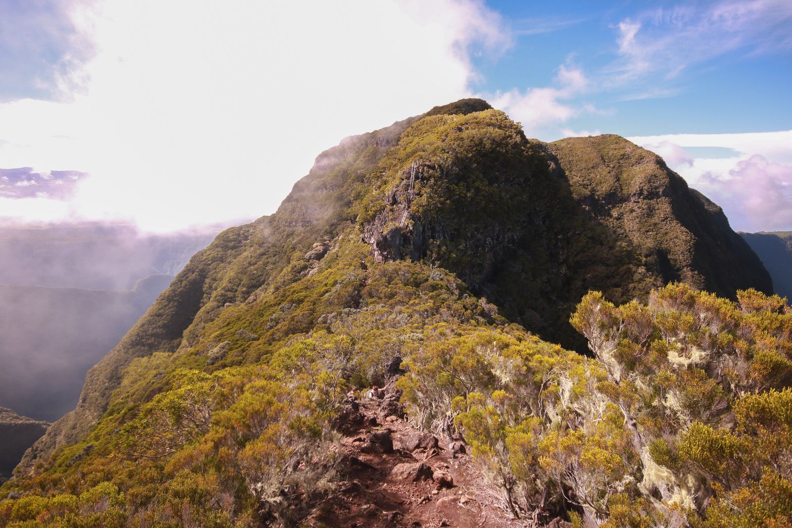
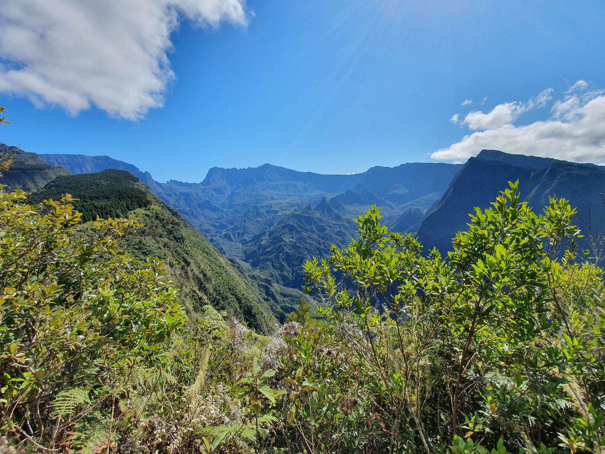
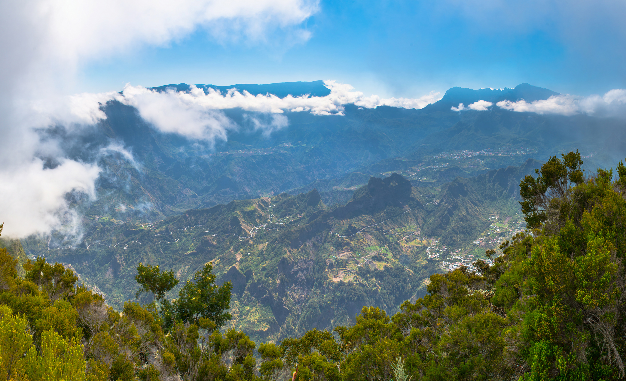
Here is a sporty hike where the beautiful landscapes are deserved. The route takes a path that does not lack elevation. But beware, all the efforts made during this hike are rewarded with great views!

Already more than 200,000 users!
Uphill
925m
Highest point
1819m
Downhill
925m
Lowest point
1107m
Route type
Loop
Download the map on your smartphone to save battery and rest assured to always keep access to the route, even without signal.
Includes IGN France and Swisstopo.
I indicate whether dogs are allowed or prohibited on this trail
Difficult after heavy rains
2 ratings
Pas très bien aménagé. Pas bcp de vue dégagée. Vue du dimitile décevant
Also enjoy:

Already more than 200,000 users!