Uphill
1572m
Length
21km
Duration
11h
Elev gain
1572m
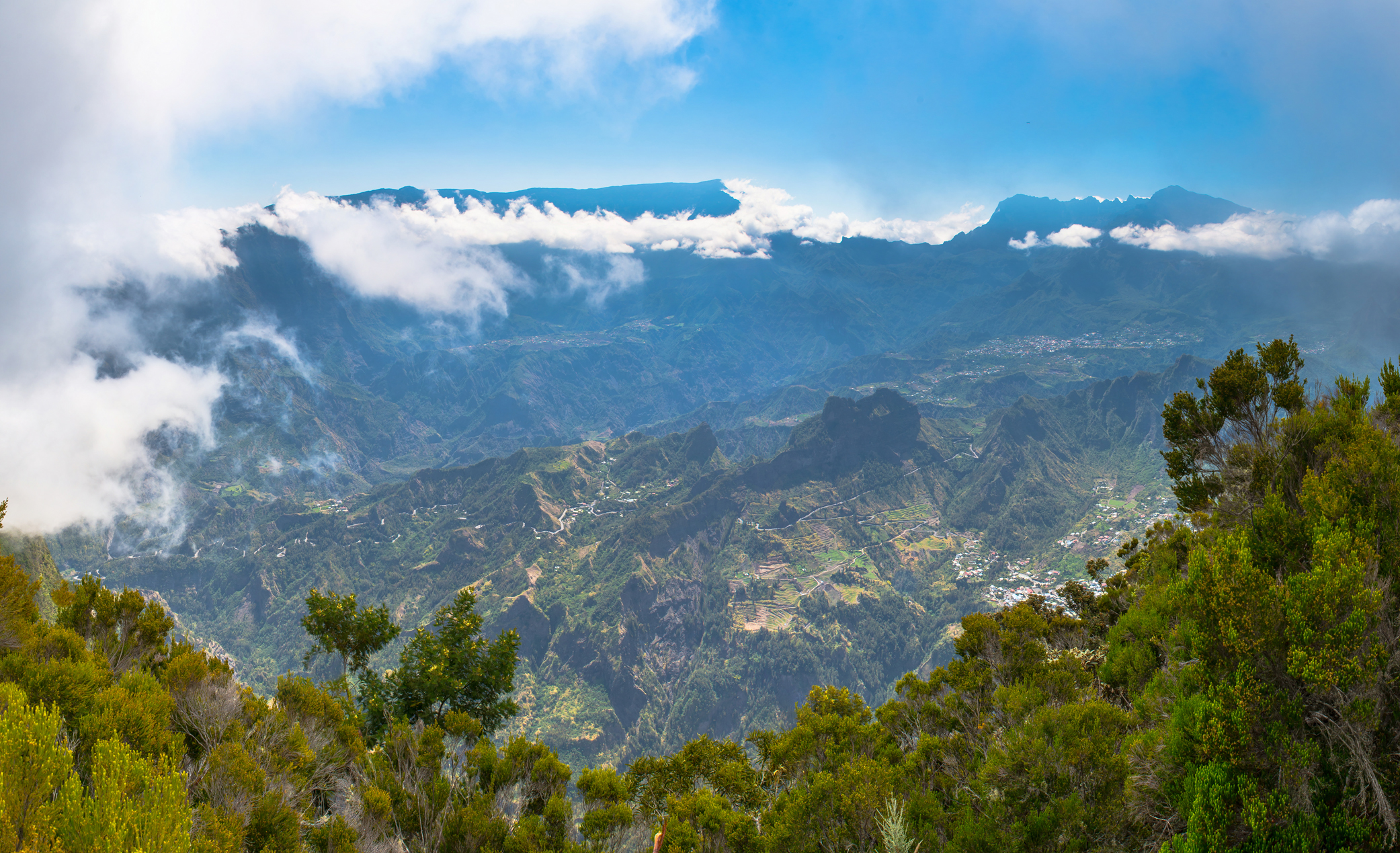
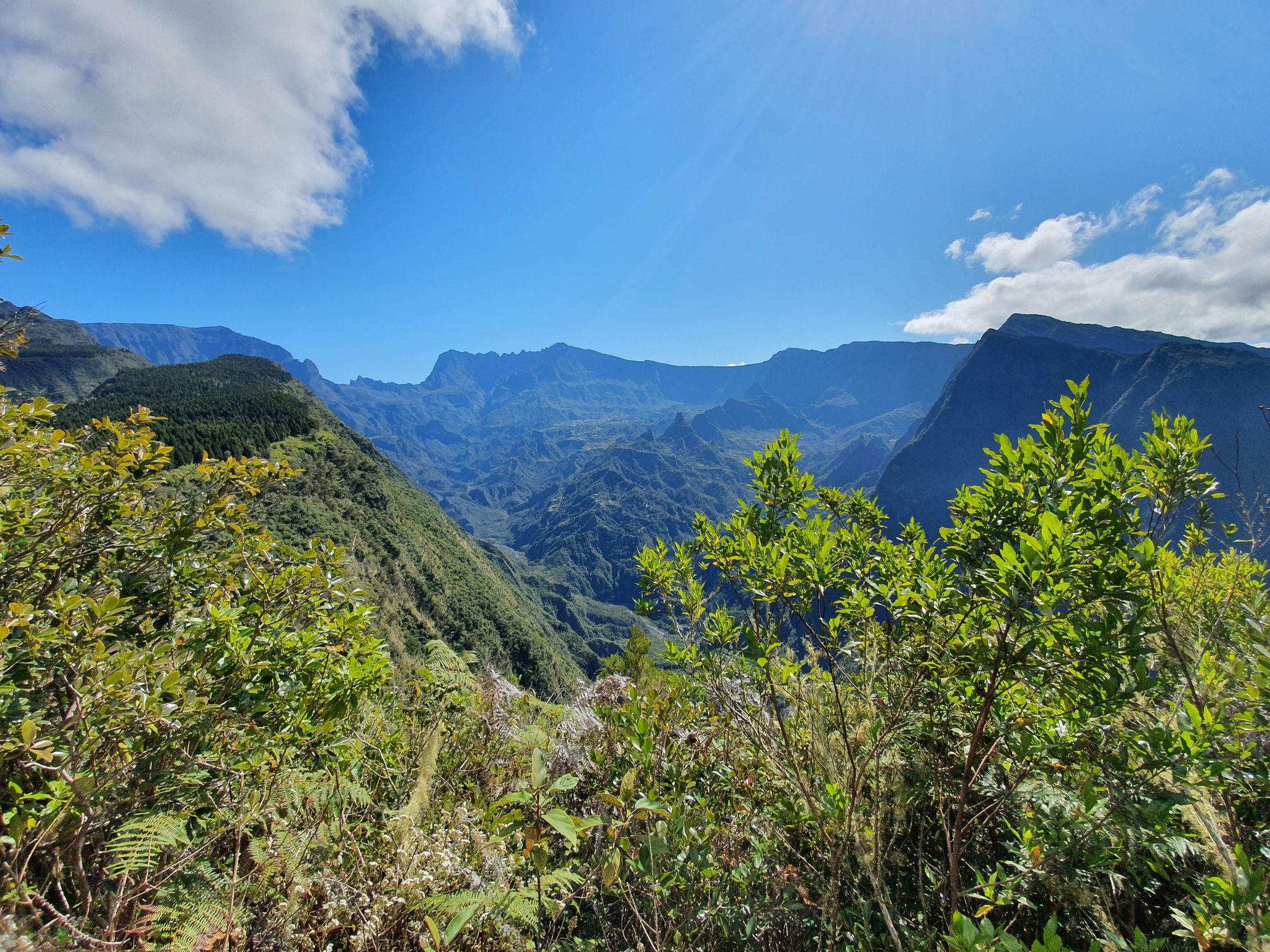
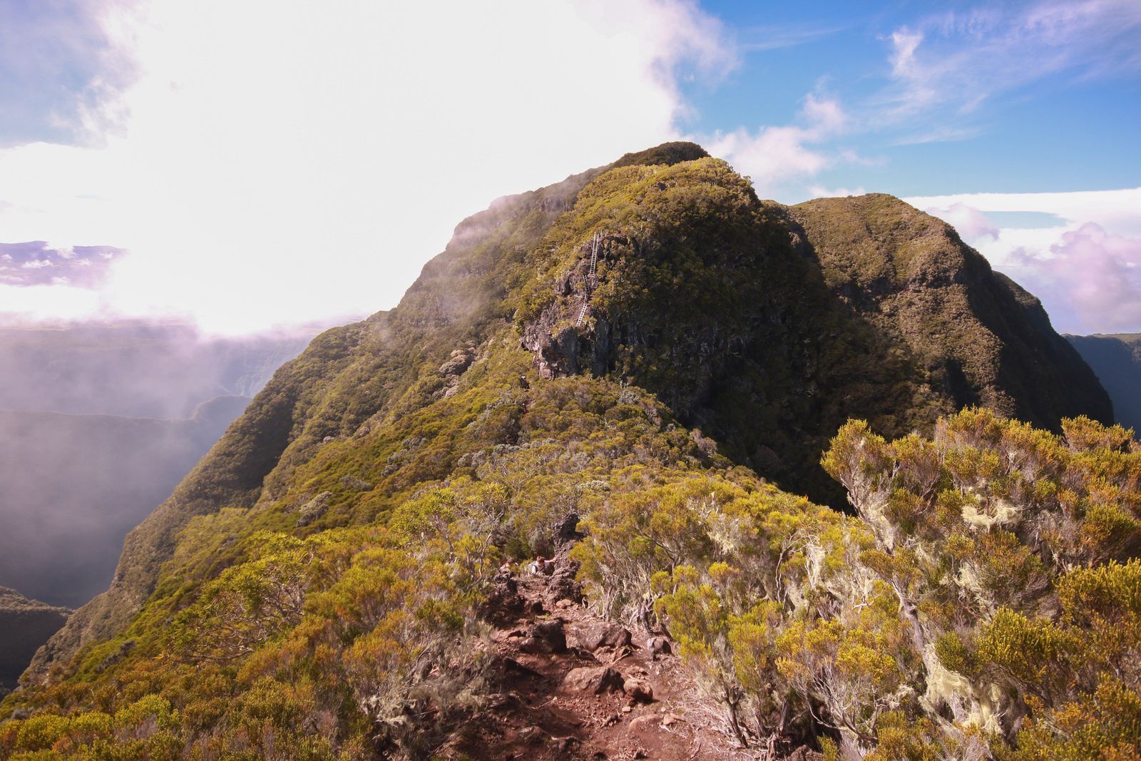
Here is a vertiginous path, with many ladders and plunging points of view on the cirque of Cilaos. Access is via the Boeuf and Mal au Ventre trails.

Already more than 200,000 users!
Uphill
1572m
Highest point
2327m
Downhill
1572m
Lowest point
1107m
Route type
There and back
Download the map on your smartphone to save battery and rest assured to always keep access to the route, even without signal.
Includes IGN France and Swisstopo.
I indicate whether dogs are allowed or prohibited on this trail
Difficult after heavy rains
0 ratings
Also enjoy:

Already more than 200,000 users!