Uphill
2149m

Length
21km
Duration
14h
Elev gain
2149m
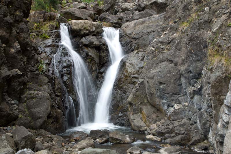
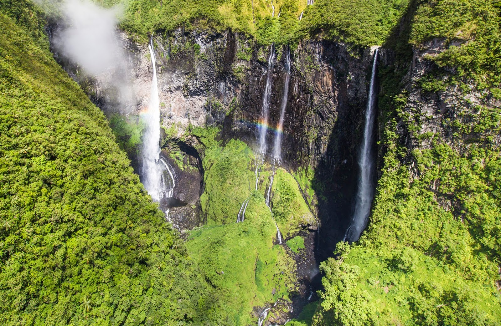
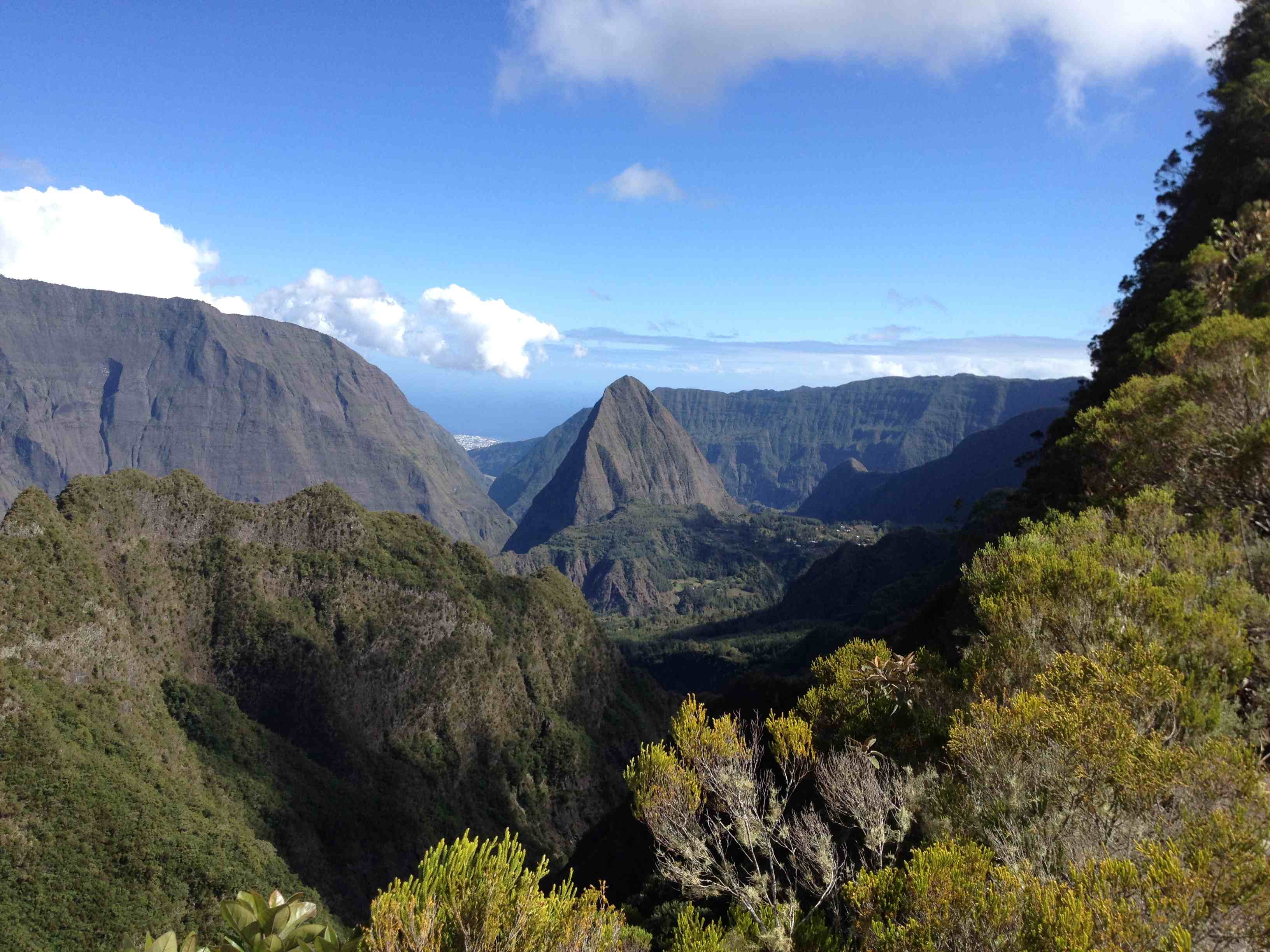
Apprentice hikers, abstain. This long and difficult hike is only for the most experienced. Indeed, this round trip is long, very long, and also has a positive elevation that will make more than one green. On the other hand, for those with the condition and the experience, the summit is absolutely worth the effort.

Already more than 200,000 users!
Uphill
2149m
Highest point
3053m
Downhill
2149m
Lowest point
997m
Route type
There and back
Download the map on your smartphone to save battery and rest assured to always keep access to the route, even without signal.
Includes IGN France and Swisstopo.
I indicate whether dogs are allowed or prohibited on this trail
All year except during volcanic eruptions 🌋
0 ratings
Also enjoy:

Already more than 200,000 users!