Uphill
353m
Length
3km
Duration
2h30min
Elev gain
353m
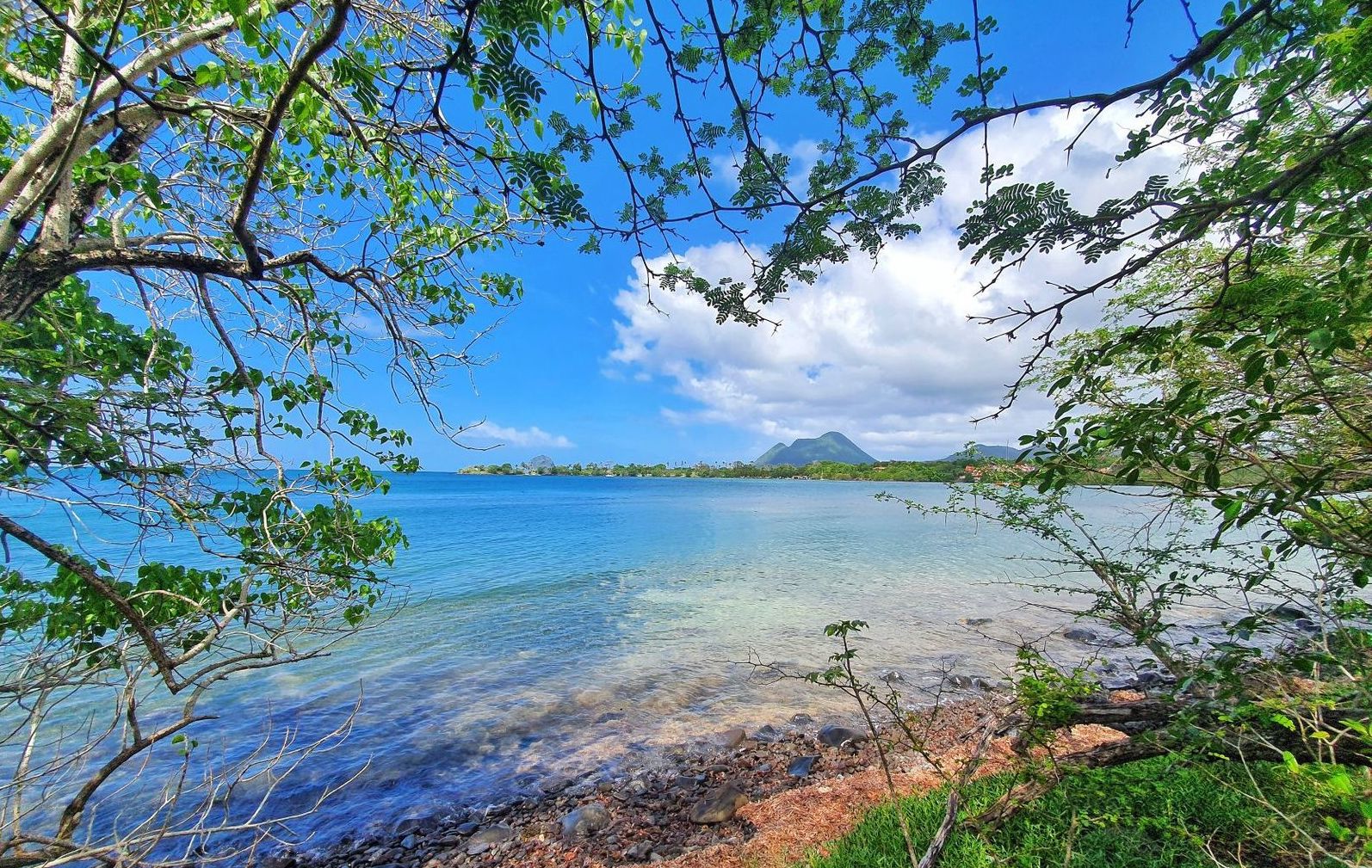
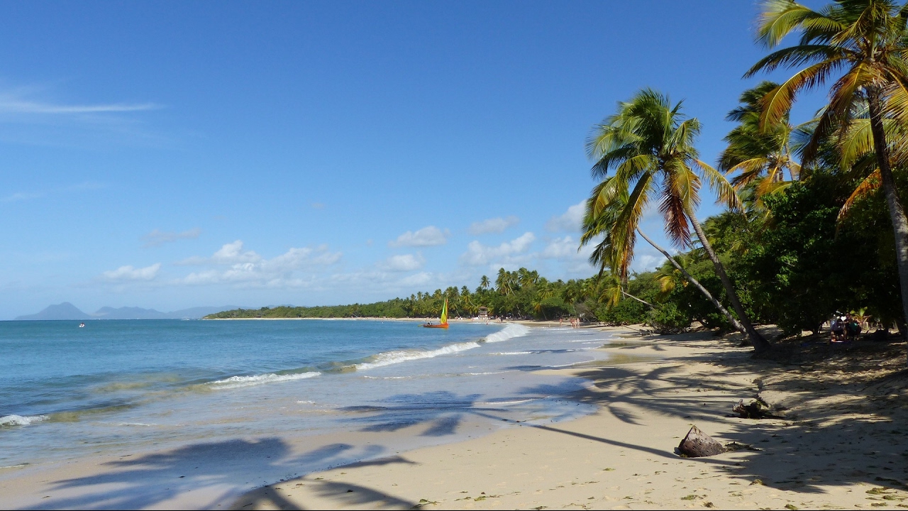
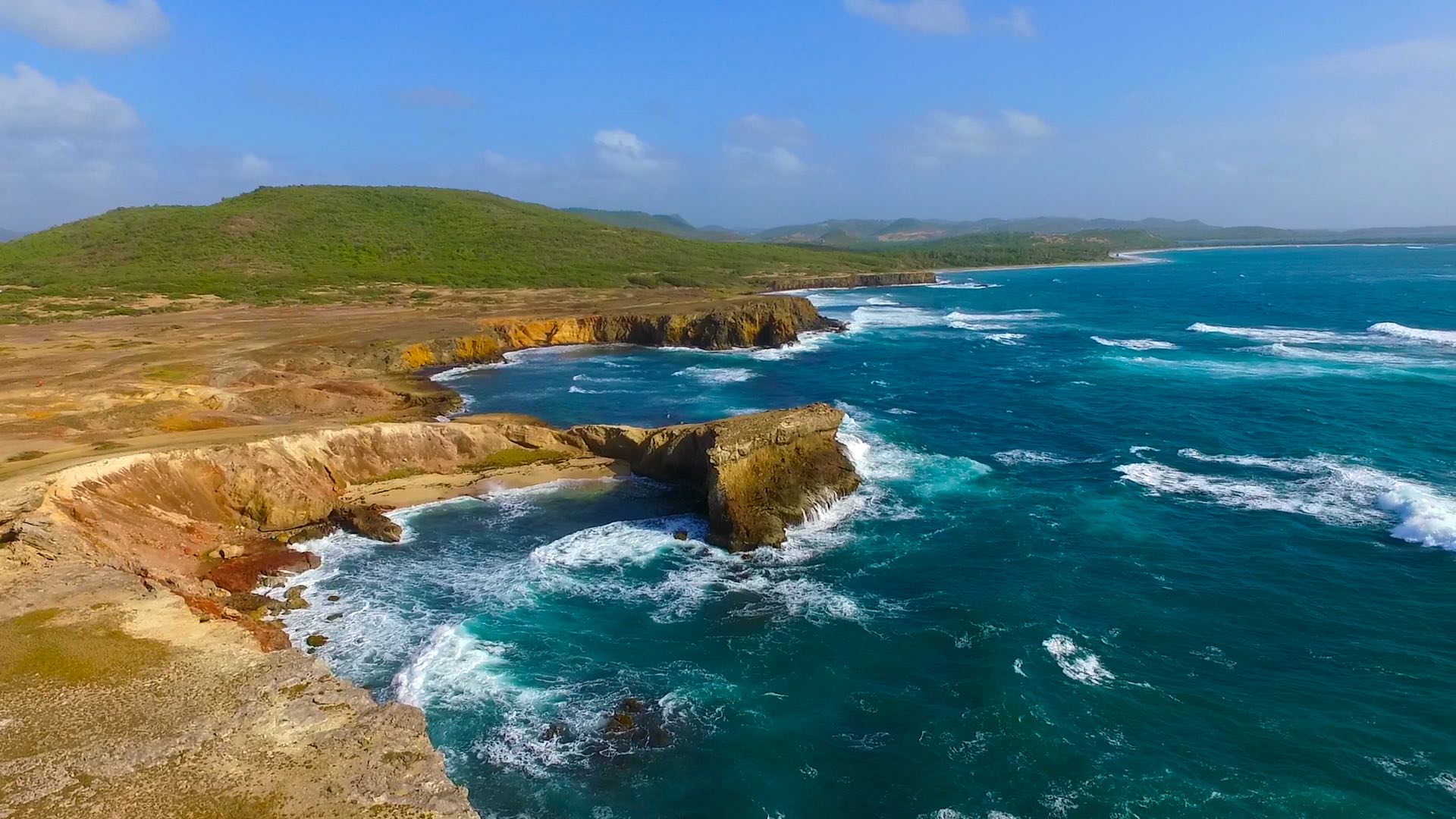
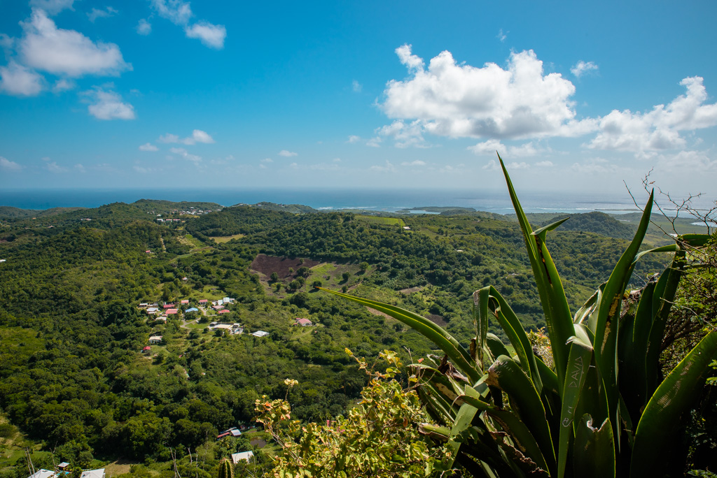
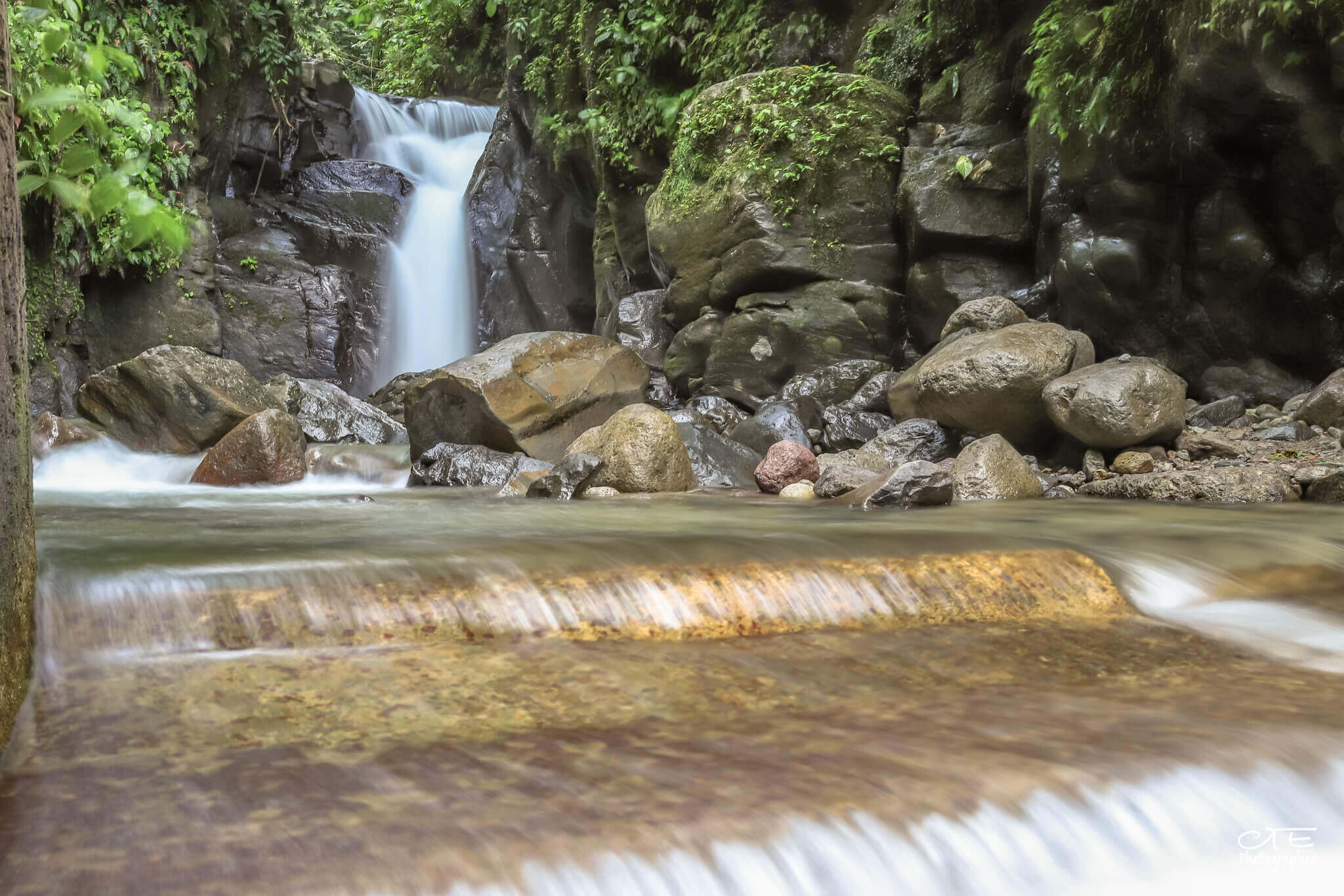
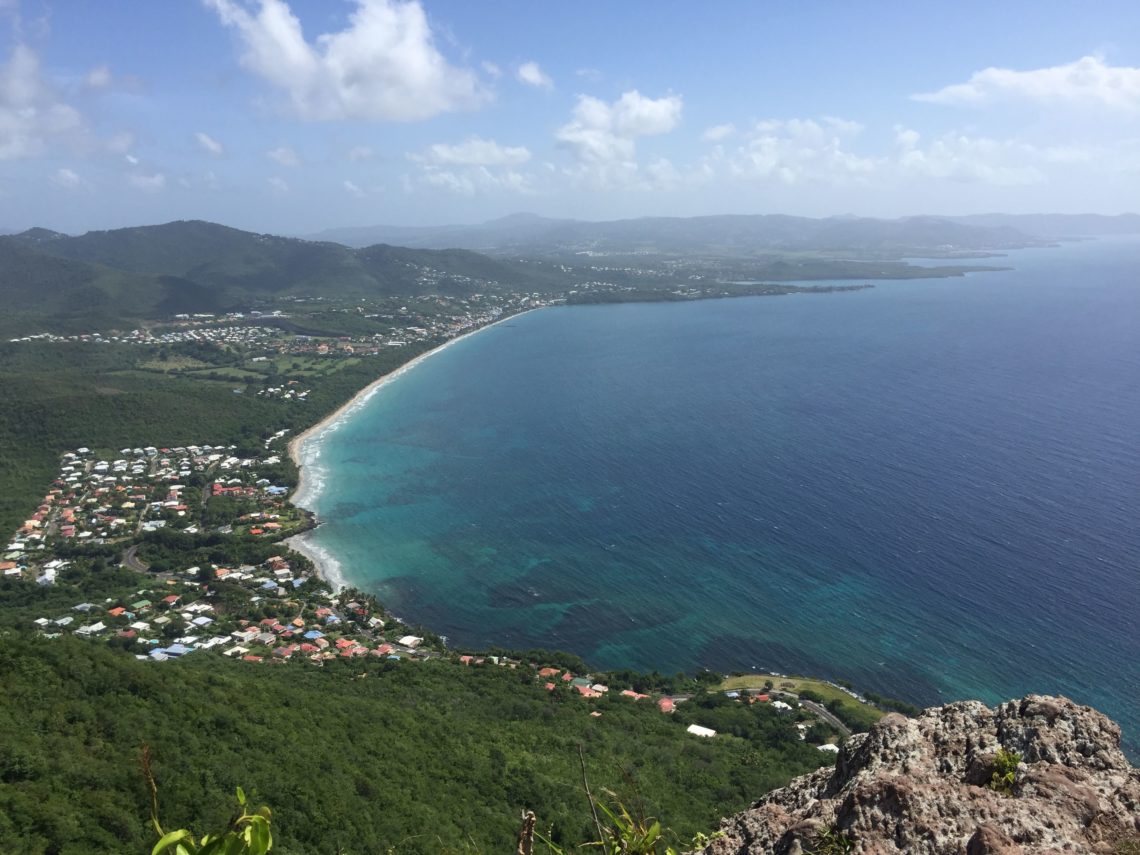
Short and challenging round trip, for a nice view of the south-eastern coast of Martinique.

Already more than 200,000 users!
Uphill
353m
Highest point
421m
Downhill
353m
Lowest point
154m
Route type
There and back
Download the map on your smartphone to save battery and rest assured to always keep access to the route, even without signal.
Includes IGN France and Swisstopo.
I indicate whether dogs are allowed or prohibited on this trail
All year
1 rating
Also enjoy:

Already more than 200,000 users!