Uphill
72m
Length
9km
Duration
2h30min
Elev gain
72m
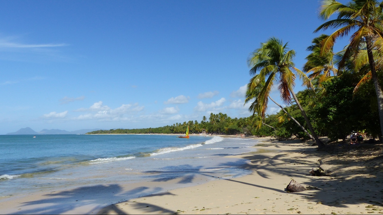
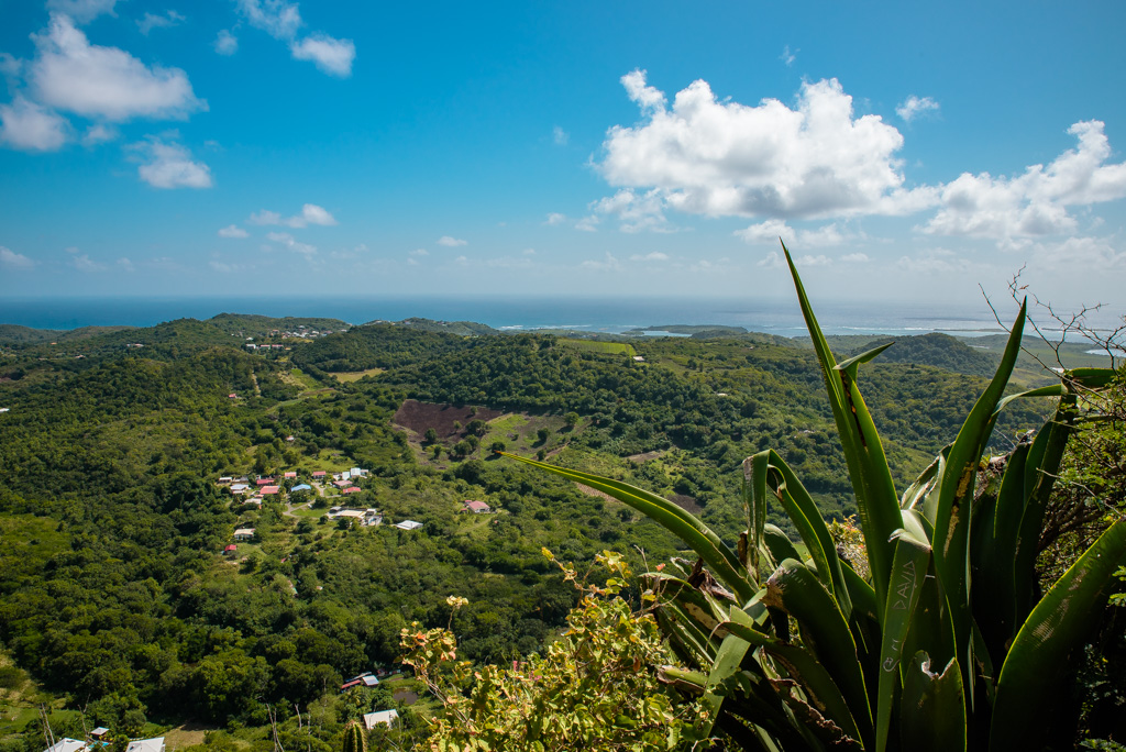
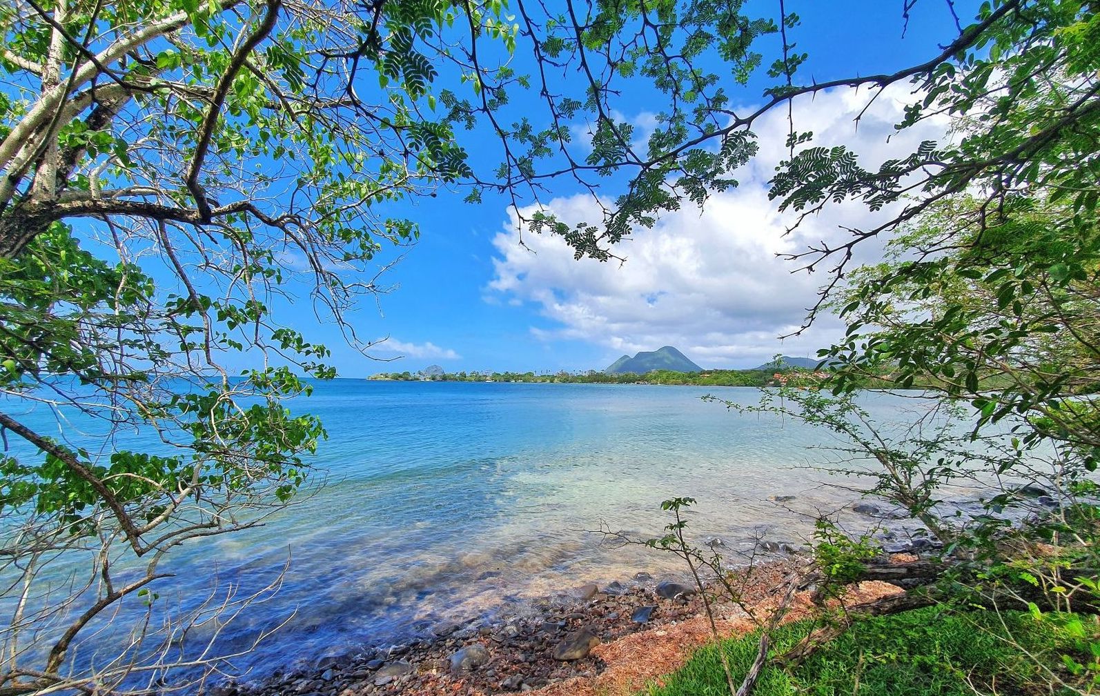
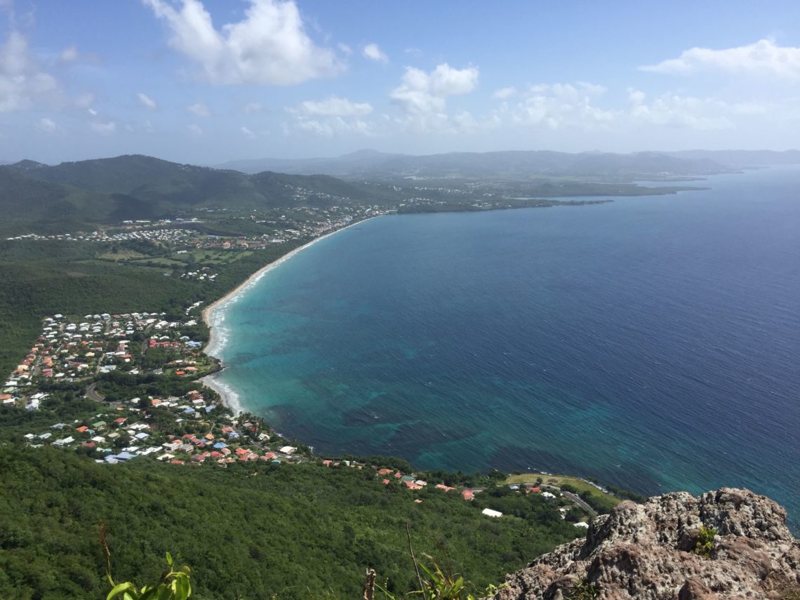
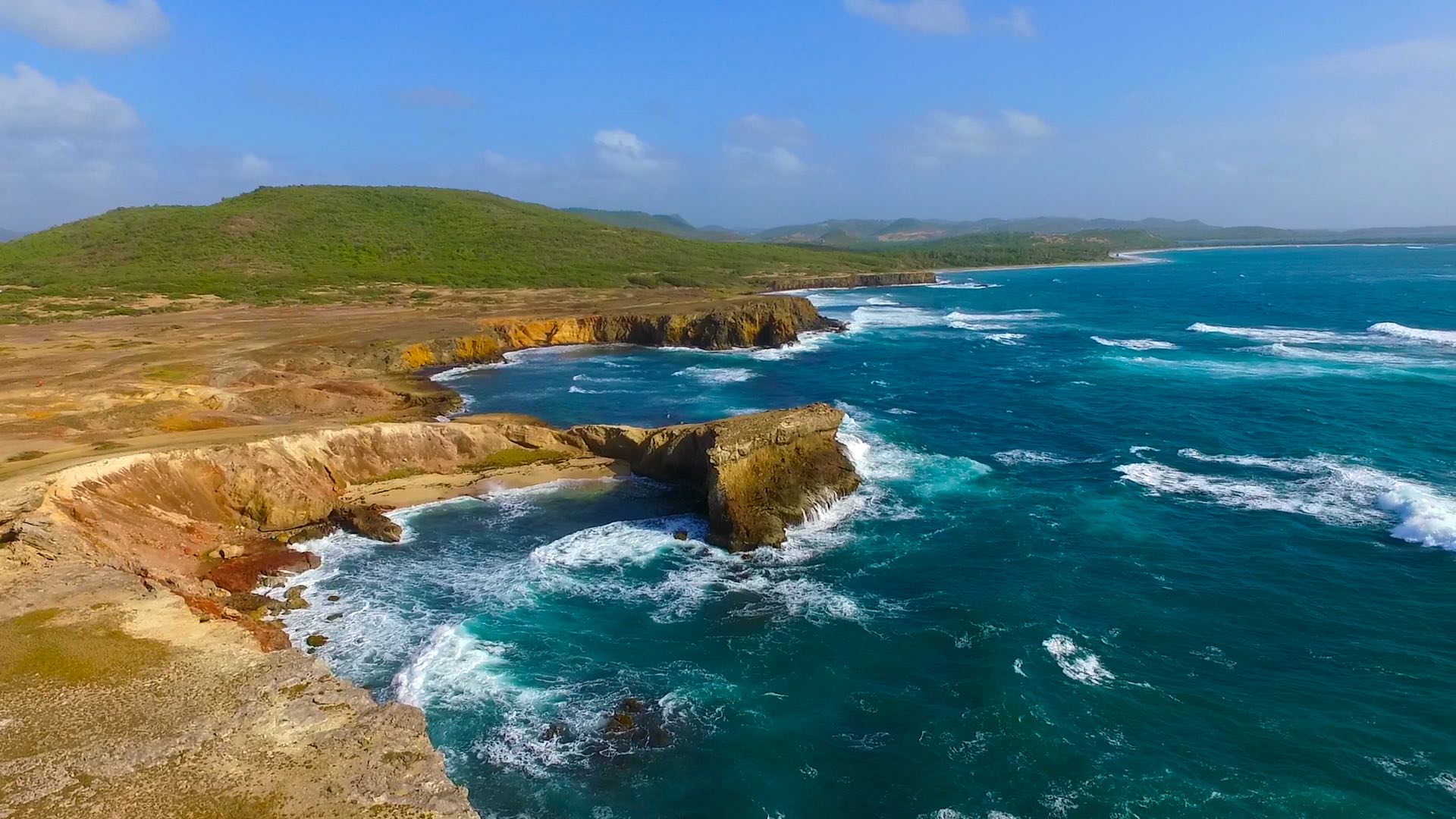
This hike at the southern end of Martinique presents a surprising mineral landscape: semi-desert area, ocher soil, cacti... All by the sea, including a passage to the pretty cove Trabaud where the swimming is possible.
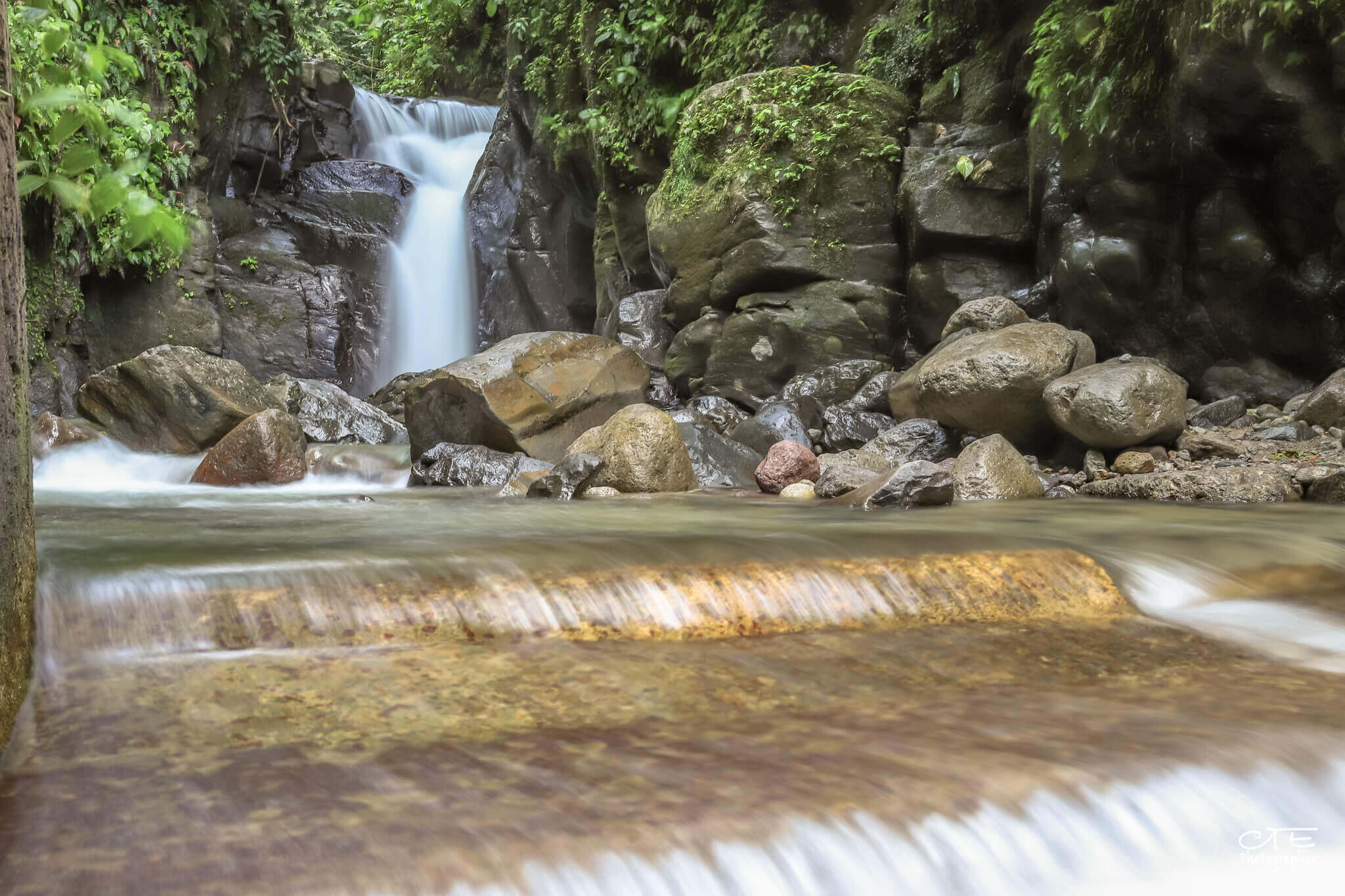
Please note: this trail has little shade.

Already more than 200,000 users!
Uphill
72m
Highest point
18m
Downhill
72m
Lowest point
0m
Route type
There and back
Download the map on your smartphone to save battery and rest assured to always keep access to the route, even without signal.
Includes IGN France and Swisstopo.
I indicate whether dogs are allowed or prohibited on this trail
All year
1 rating
Also enjoy:

Already more than 200,000 users!