Uphill
124m
Length
2km
Duration
1h
Elev gain
124m
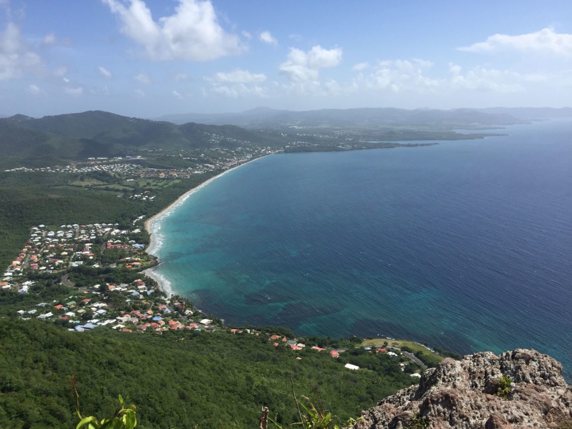
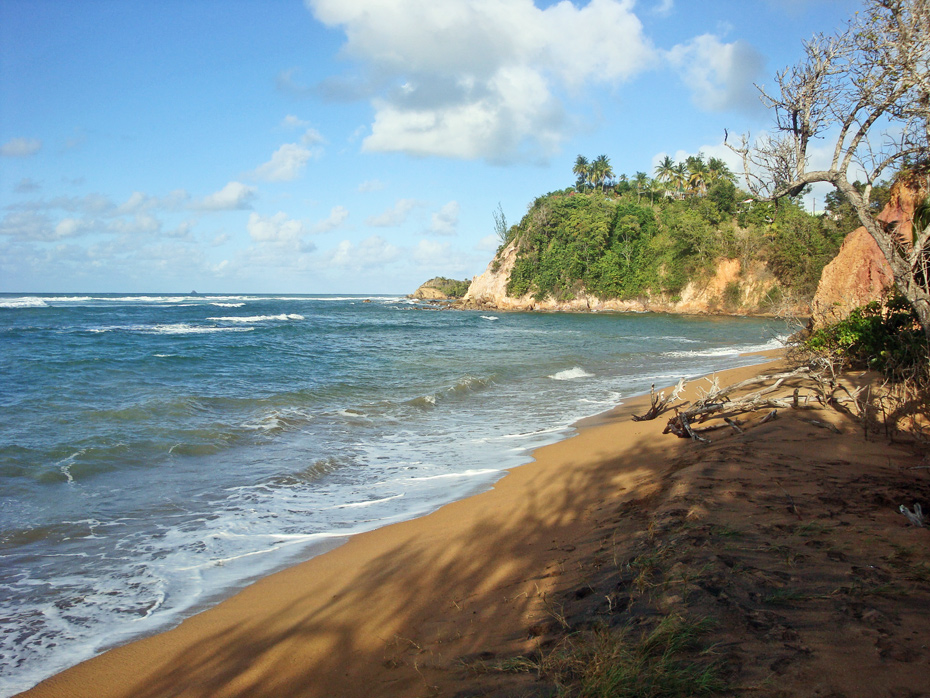
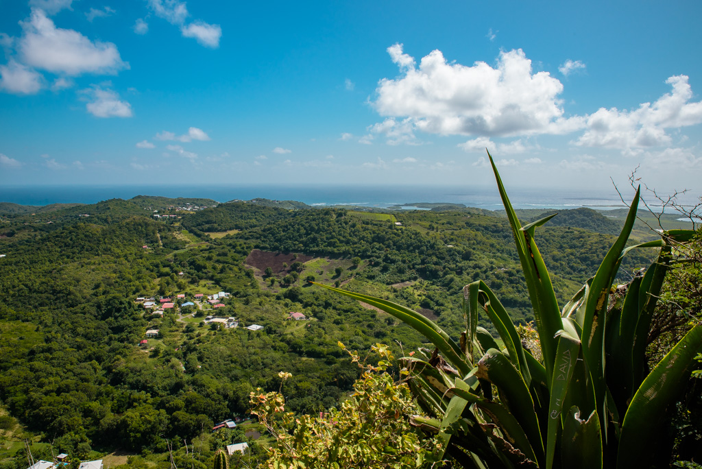
Short hike, which nevertheless allows you to get a beautiful 360 degree view of the surroundings, including the bay of Marin.

Already more than 200,000 users!
Uphill
124m
Highest point
175m
Downhill
124m
Lowest point
49m
Route type
There and back
Download the map on your smartphone to save battery and rest assured to always keep access to the route, even without signal.
Includes IGN France and Swisstopo.
I indicate whether dogs are allowed or prohibited on this trail
Difficult after heavy rains
1 rating
Also enjoy:

Already more than 200,000 users!