Uphill
467m
France > Normandy > Eure > Boucles de la Seine Normande Nature Park
Length
16km
Duration
5h
Elev gain
467m
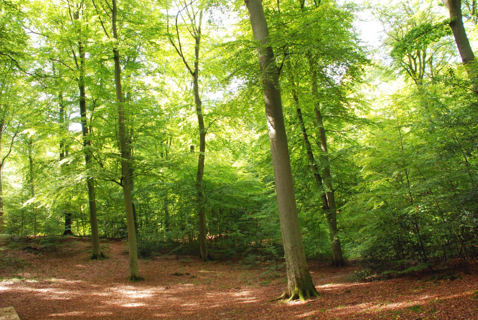
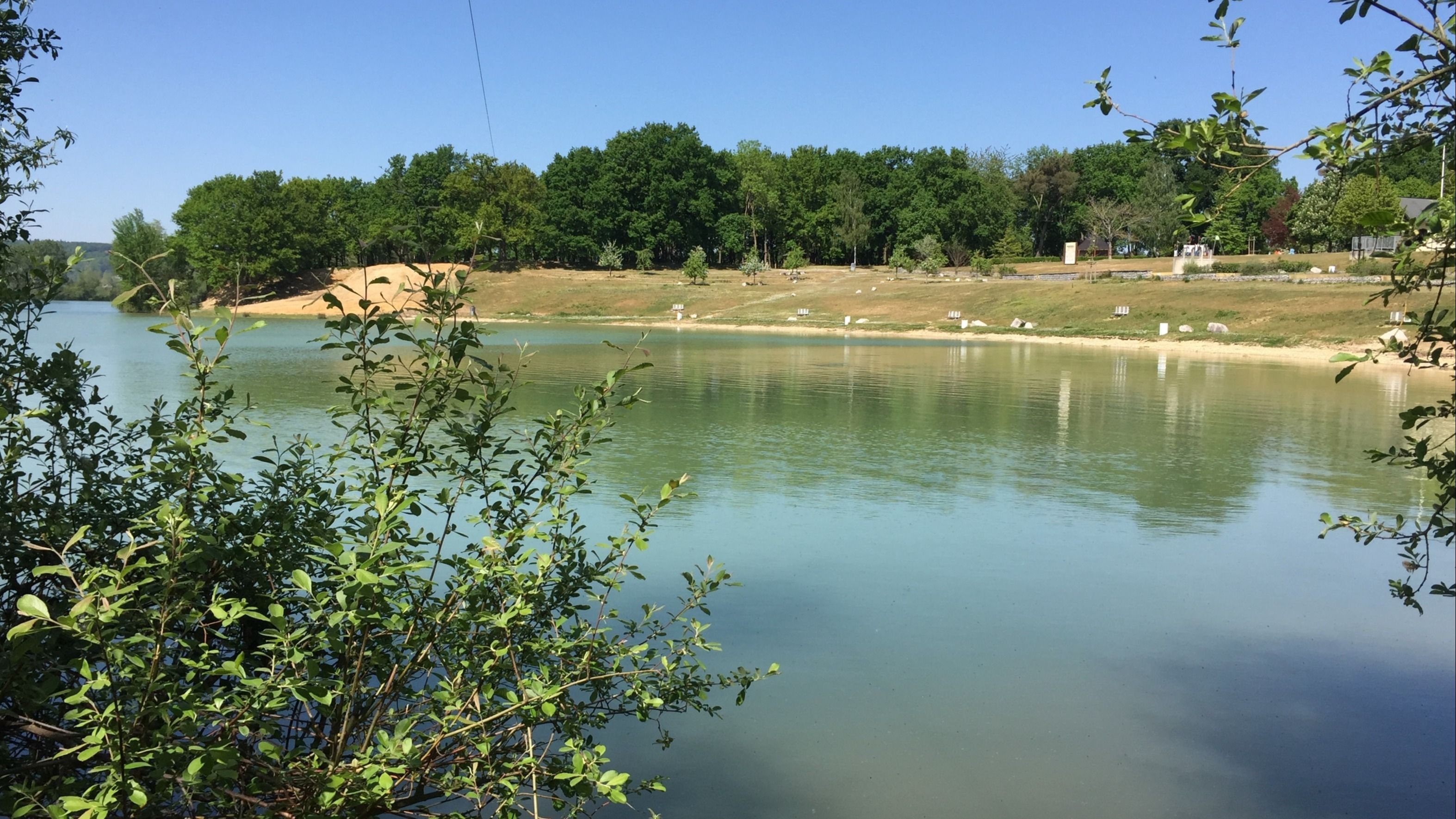
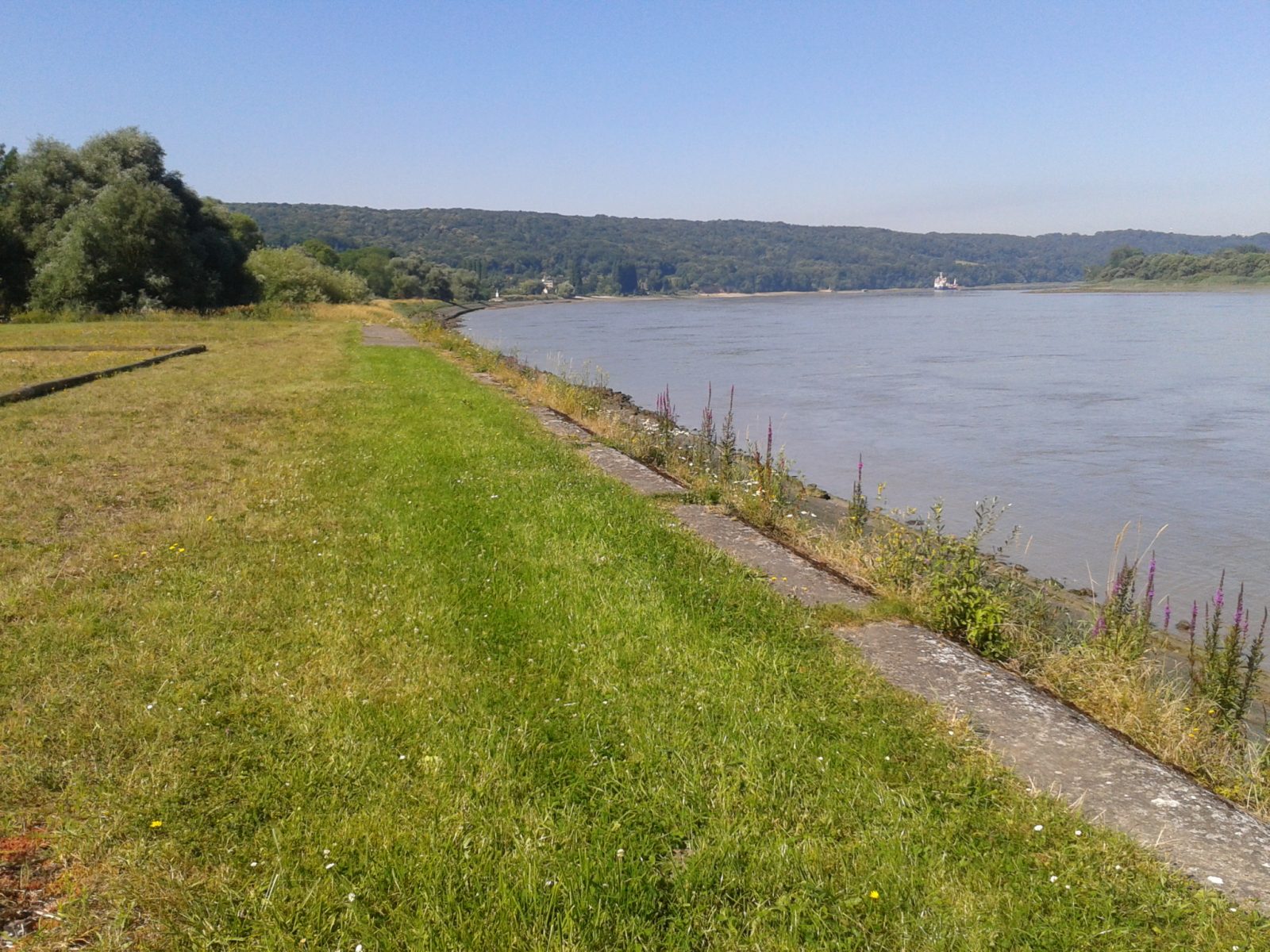
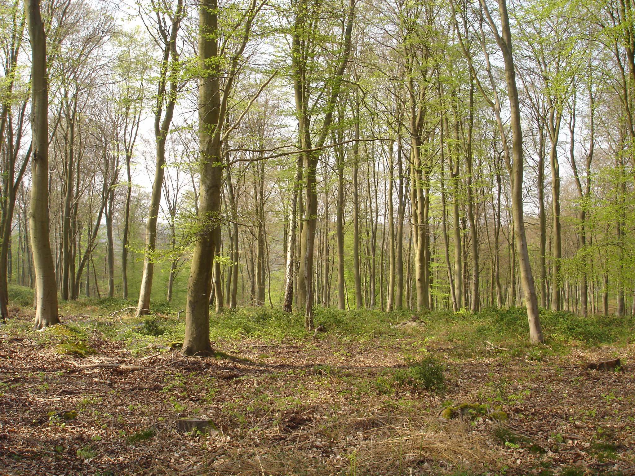
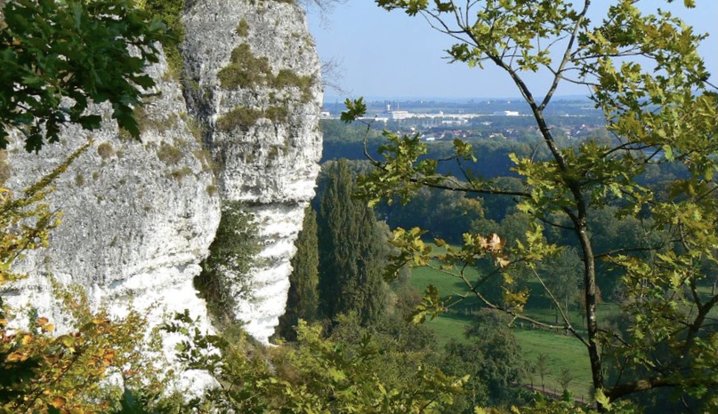
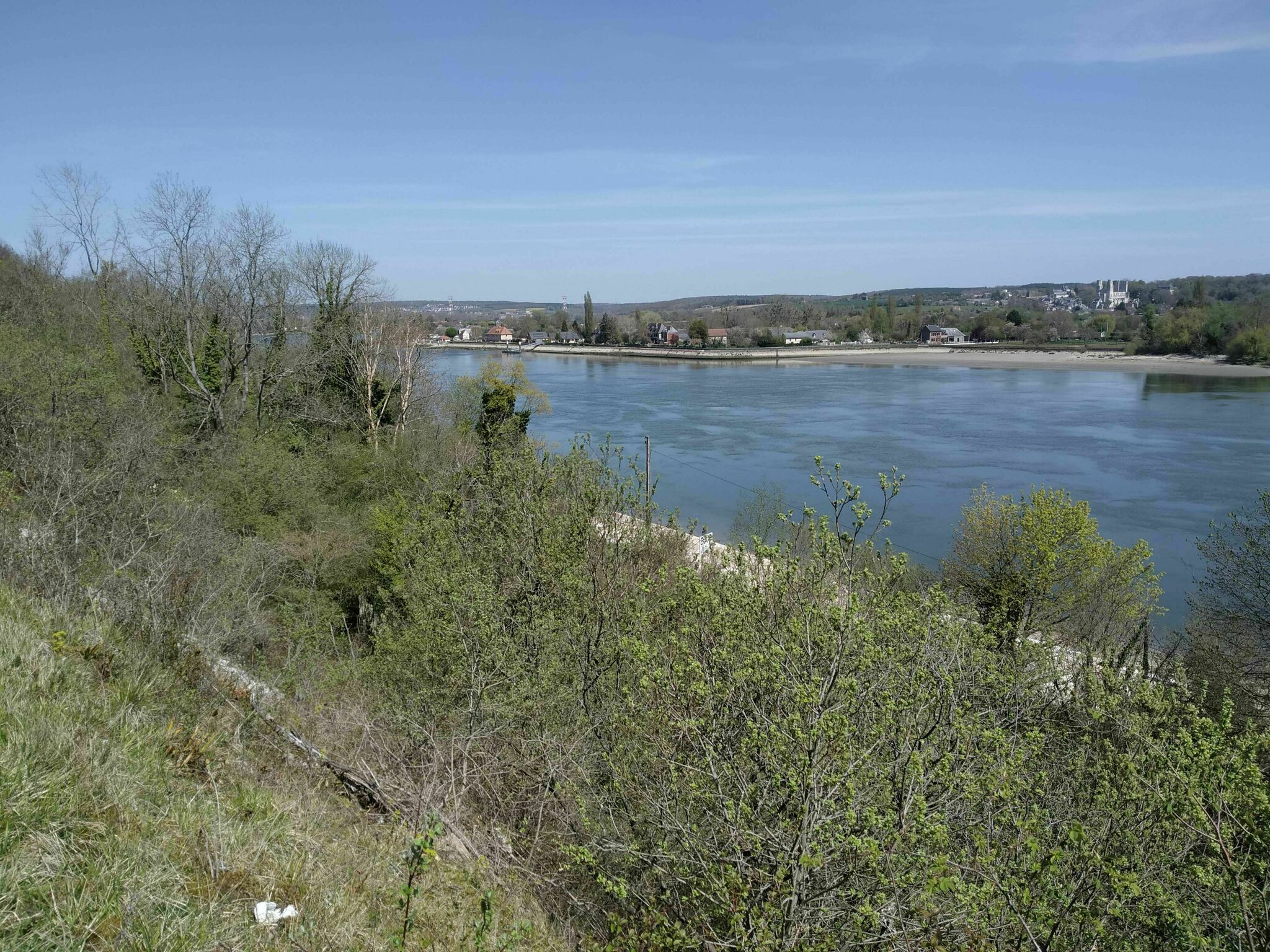
Departing from Hauville, here is a varied walk first taking country lanes, before entering the forest of Brotonne and then following the Seine on a section without a car.

Already more than 200,000 users!
Uphill
467m
Highest point
193m
Downhill
465m
Lowest point
15m
Route type
Loop
Download the map on your smartphone to save battery and rest assured to always keep access to the route, even without signal.
Includes IGN France and Swisstopo.
I indicate whether dogs are allowed or prohibited on this trail
All year
0 ratings
Also enjoy:

Already more than 200,000 users!