Uphill
668m
France > Normandy > Seine-Maritime > Boucles de la Seine Normande Nature Park
Length
24km
Duration
8h
Elev gain
668m
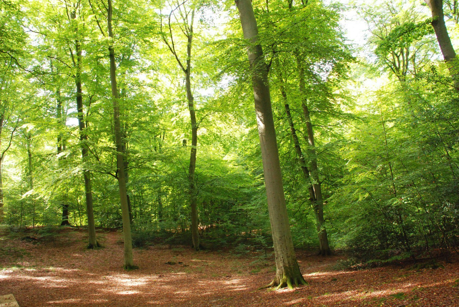
Great loop in the Brotonne forest, with a little elevation close to the starting point.

Already more than 200,000 users!
Uphill
668m
Highest point
193m
Downhill
668m
Lowest point
13m
Route type
Loop
Download the map on your smartphone to save battery and rest assured to always keep access to the route, even without signal.
Includes IGN France and Swisstopo.
I indicate whether dogs are allowed or prohibited on this trail
All year
0 ratings
Also enjoy:

Already more than 200,000 users!


