Uphill
315m
Length
15km
Duration
4h30min
Elev gain
315m
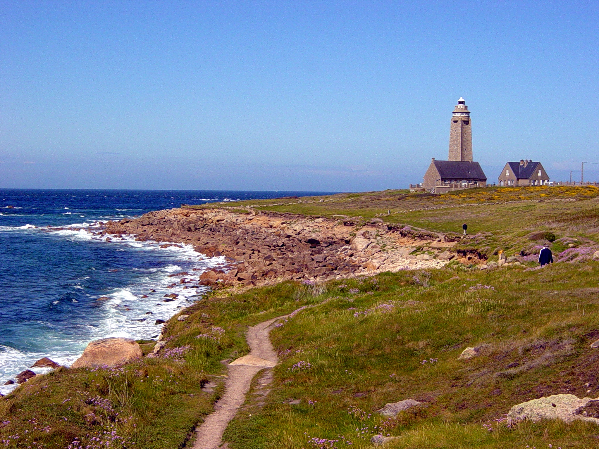
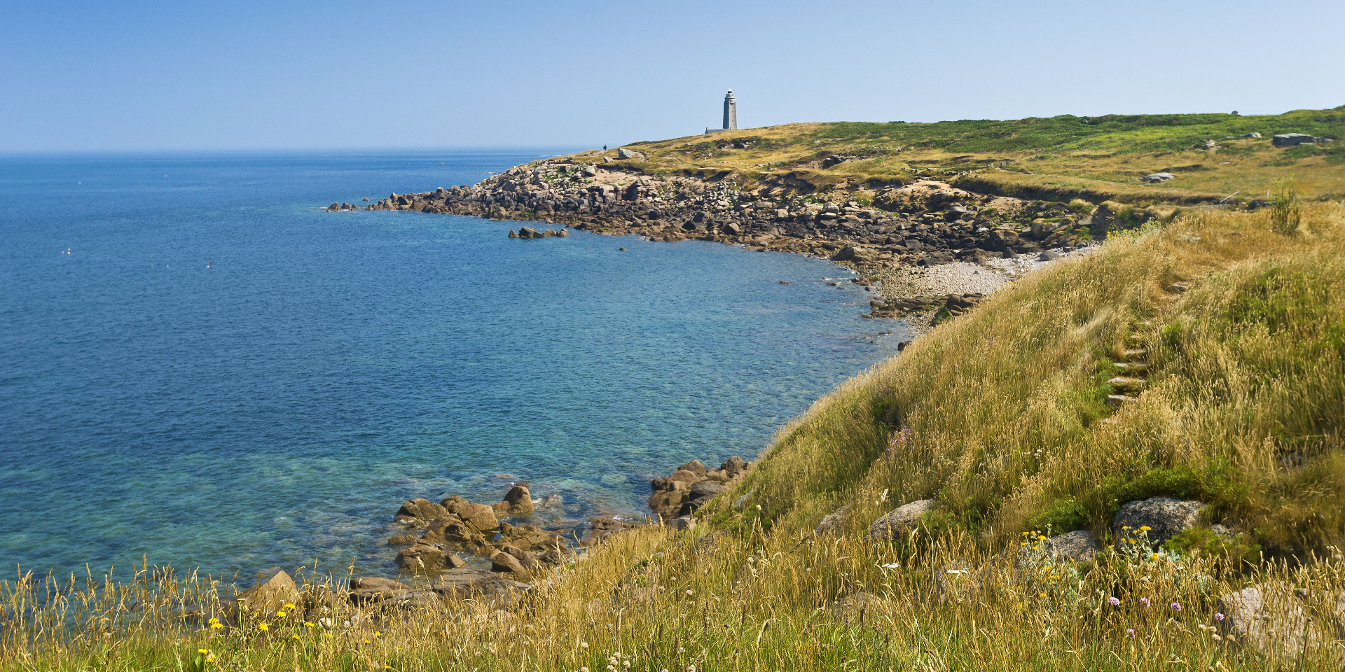
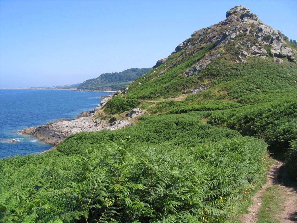
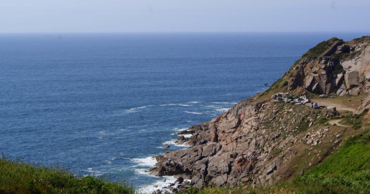
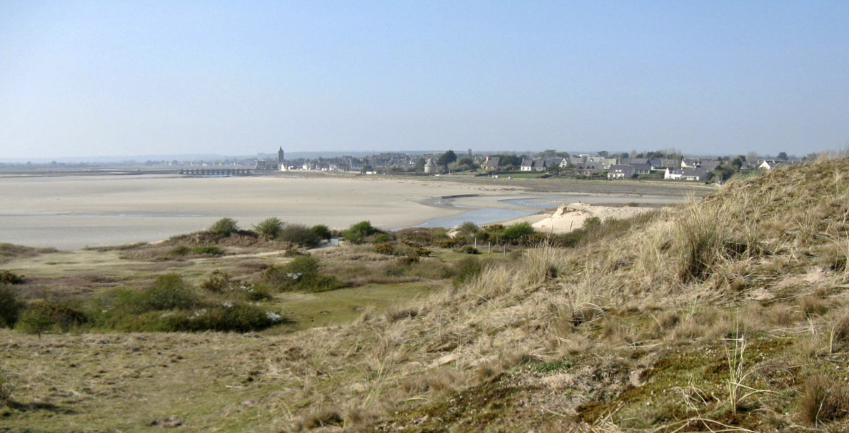
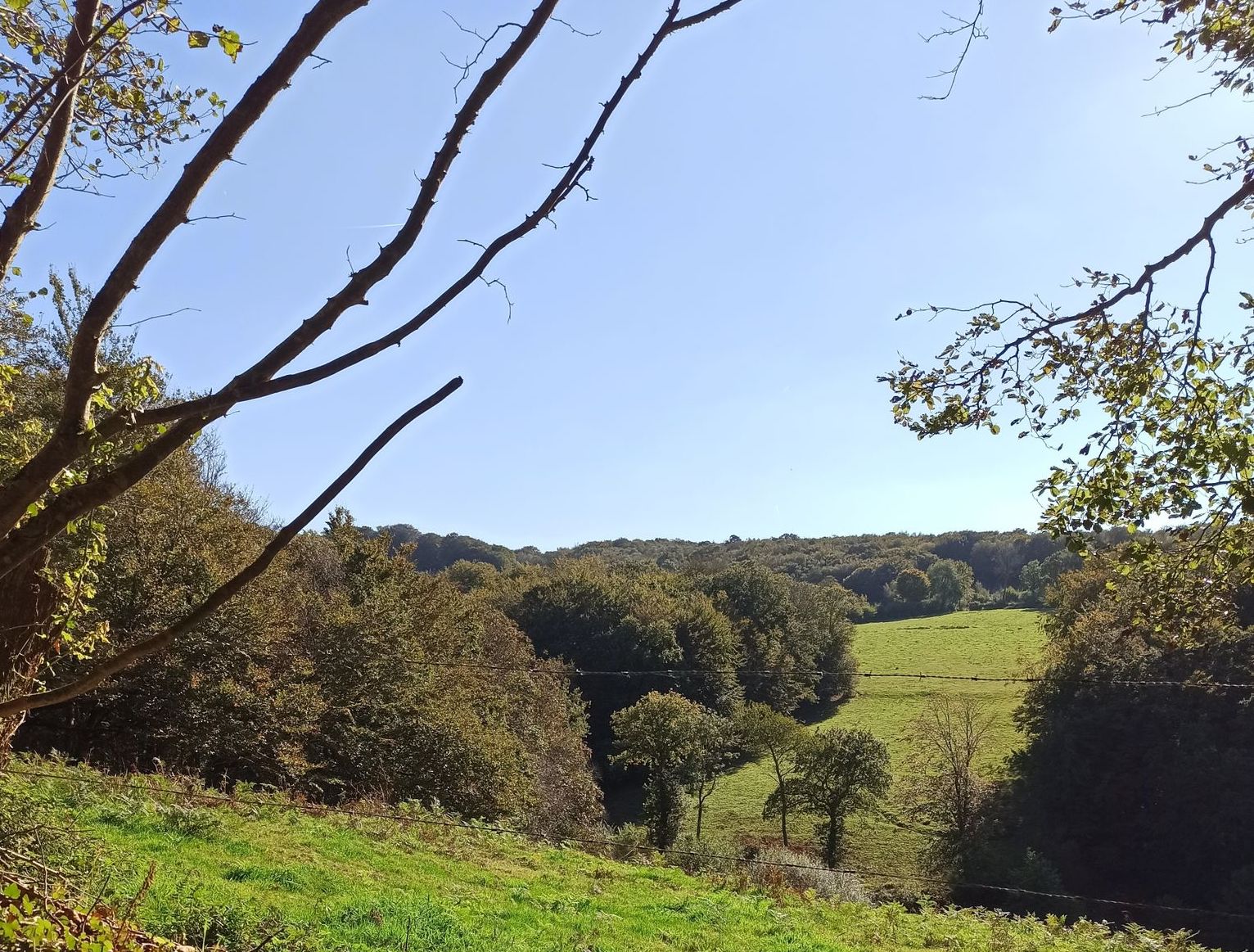
This pretty walk takes place near Cherbourg-en-Cotentin. The route makes a large and beautiful loop in the hilly bocage of Tourlaville, offering views of the surroundings.

Already more than 200,000 users!
Uphill
315m
Highest point
180m
Downhill
315m
Lowest point
21m
Route type
Loop
Download the map on your smartphone to save battery and rest assured to always keep access to the route, even without signal.
Includes IGN France and Swisstopo.
I indicate whether dogs are allowed or prohibited on this trail
All year
0 ratings
Also enjoy:

Already more than 200,000 users!