Uphill
203m
Length
9km
Duration
3h
Elev gain
203m
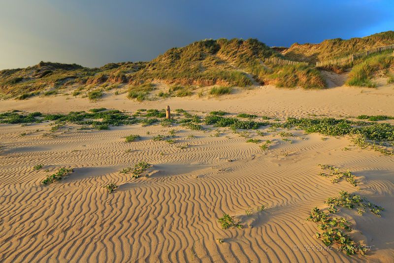
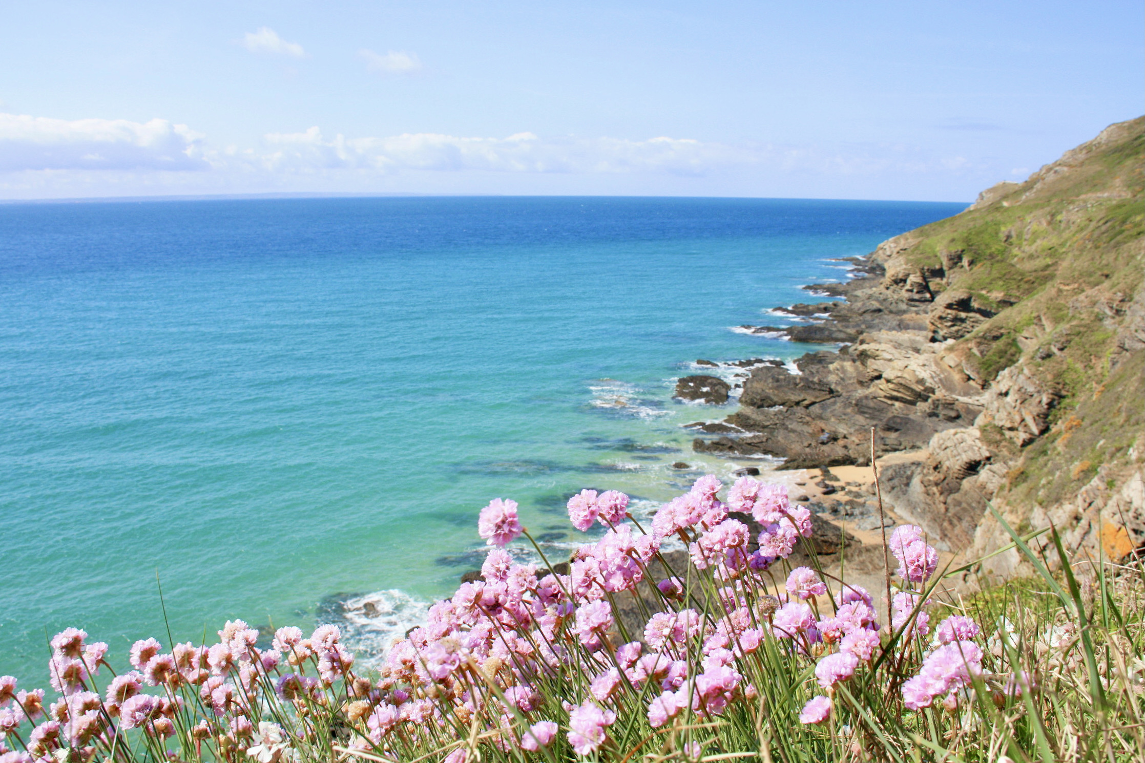
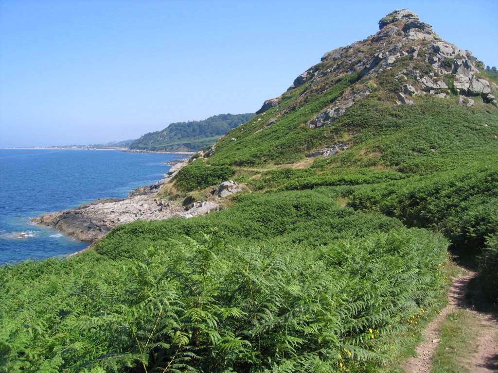
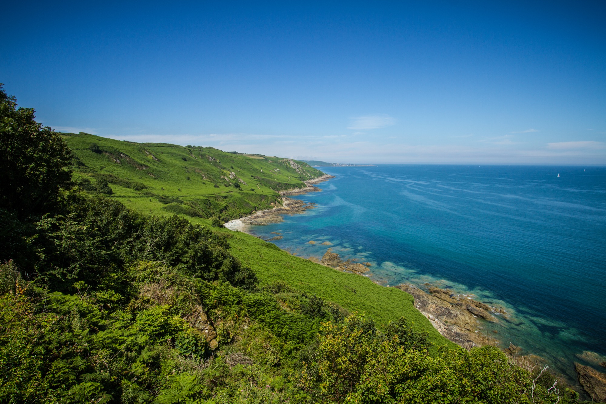
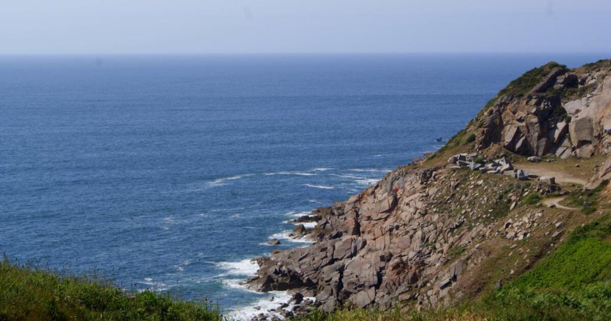
Here is a superb hike with multiple landscapes. Between the sea, the chestnut forest and the Château de Flamanville, there is something for everyone. What's more, the route presents no difficulty and is accessible to all. So, what are we waiting for?

Already more than 200,000 users!
Uphill
203m
Highest point
84m
Downhill
203m
Lowest point
15m
Route type
Loop
Download the map on your smartphone to save battery and rest assured to always keep access to the route, even without signal.
Includes IGN France and Swisstopo.
I indicate whether dogs are allowed or prohibited on this trail
All year
1 rating
Also enjoy:

Already more than 200,000 users!