Uphill
283m

Length
9km
Duration
3h
Elev gain
283m
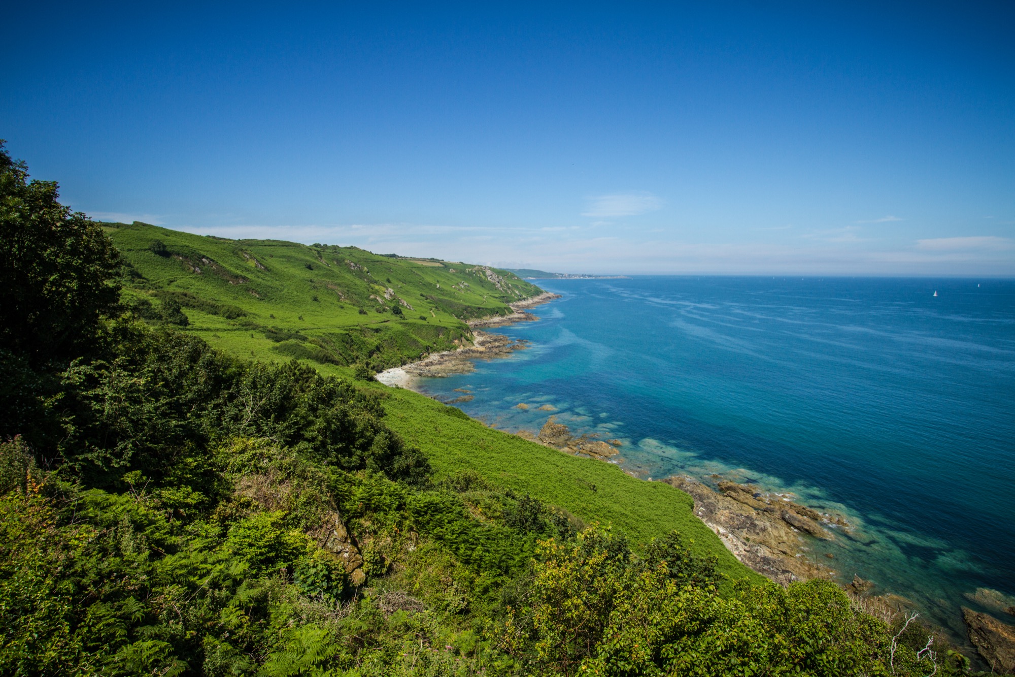
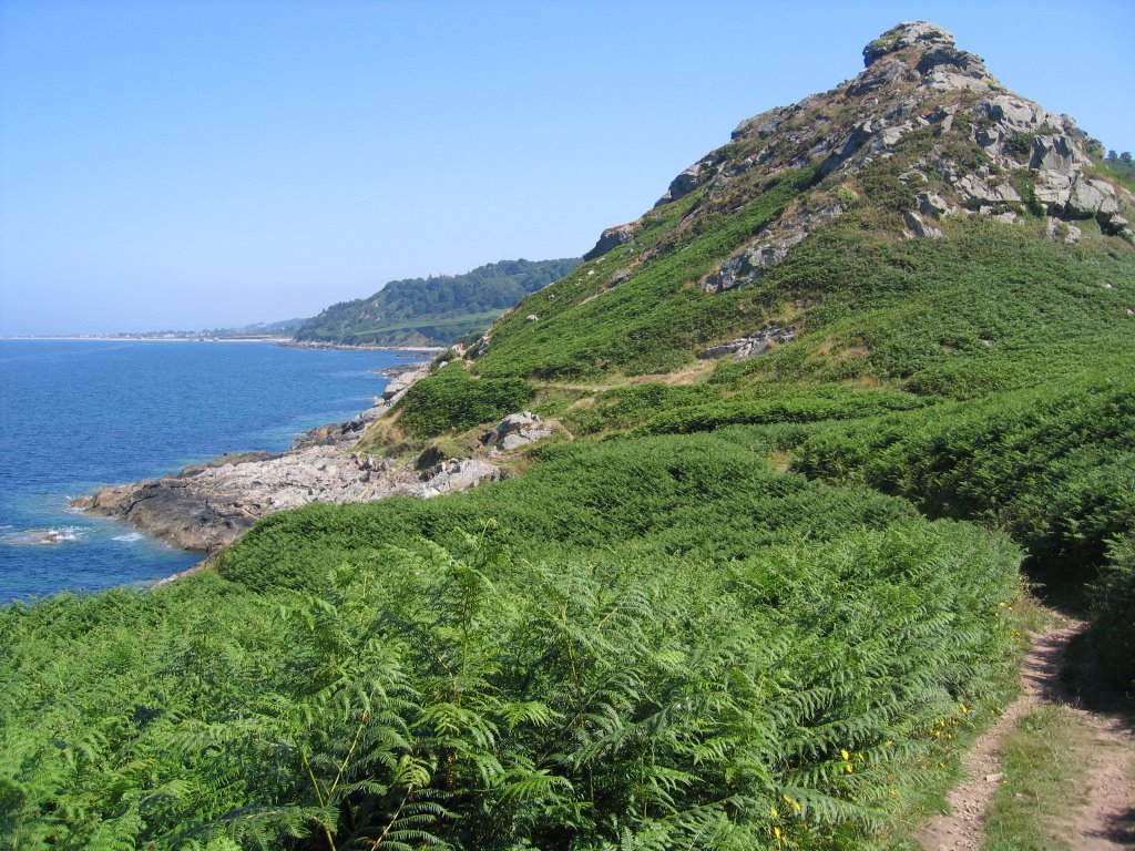
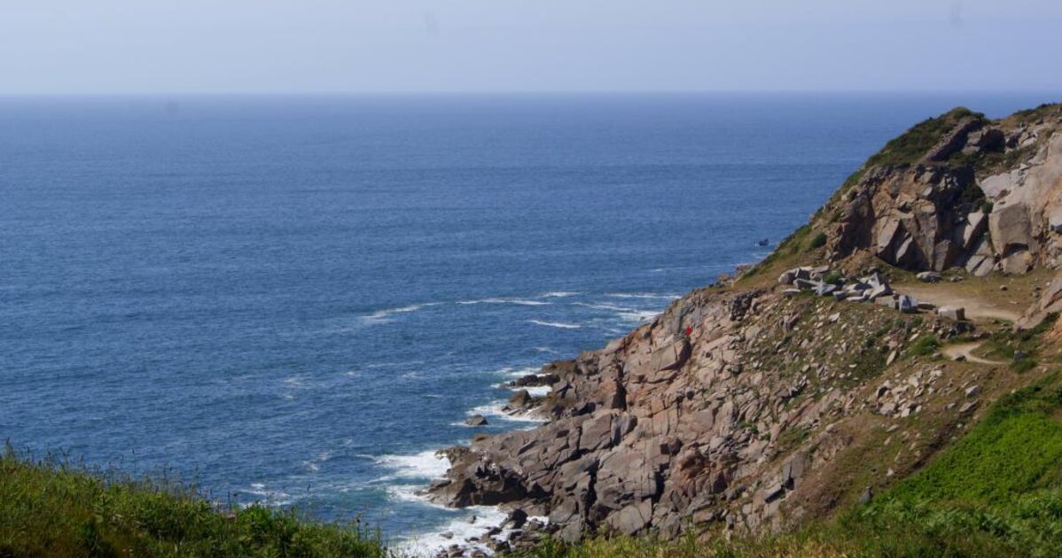
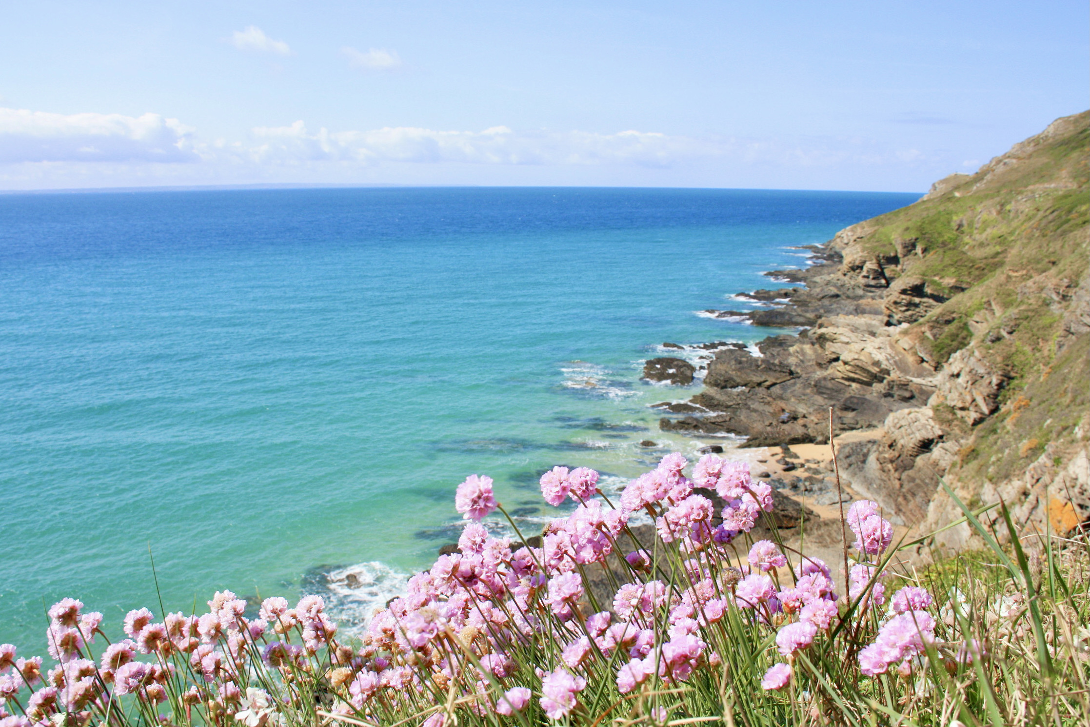
The cliffs of the Nez of Jobourg are among the highest in continental Europe (128 meters), and offer magnificent views of the sea and the Channel Islands. The trail also goes inland to discover a typical hamlet and its surrounding fields.

Already more than 200,000 users!
Uphill
283m
Highest point
135m
Downhill
283m
Lowest point
4m
Route type
Loop
Download the map on your smartphone to save battery and rest assured to always keep access to the route, even without signal.
Includes IGN France and Swisstopo.
I indicate whether dogs are allowed or prohibited on this trail
All year
4 ratings
Superbe rando, mais un peu difficile pour une rando moyenne
Magnifique sentier mais reste difficile pour une randonnée classée moyenne 😅
Also enjoy:

Already more than 200,000 users!