Uphill
134m
Length
9km
Duration
2h30min
Elev gain
134m
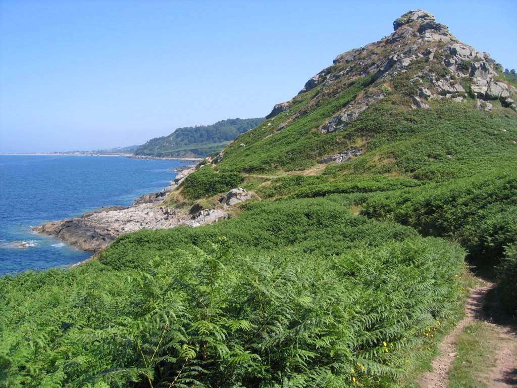
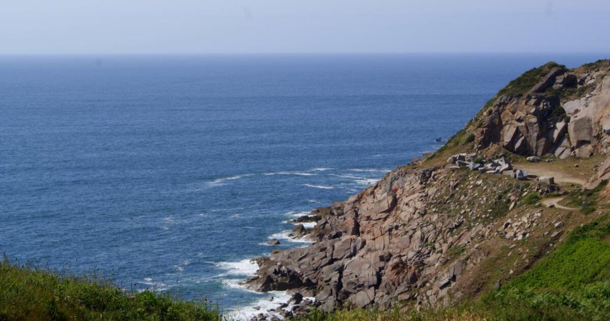
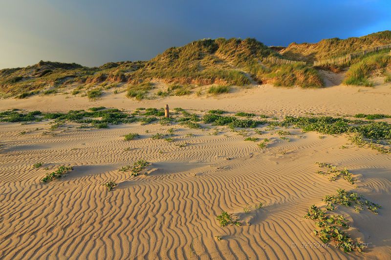
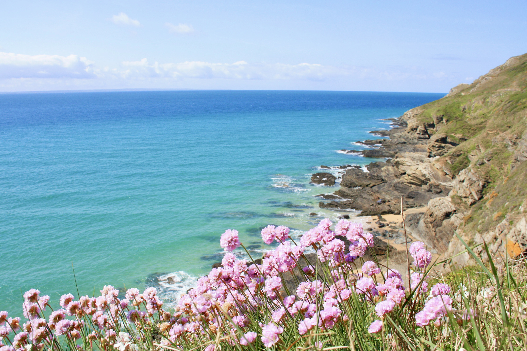
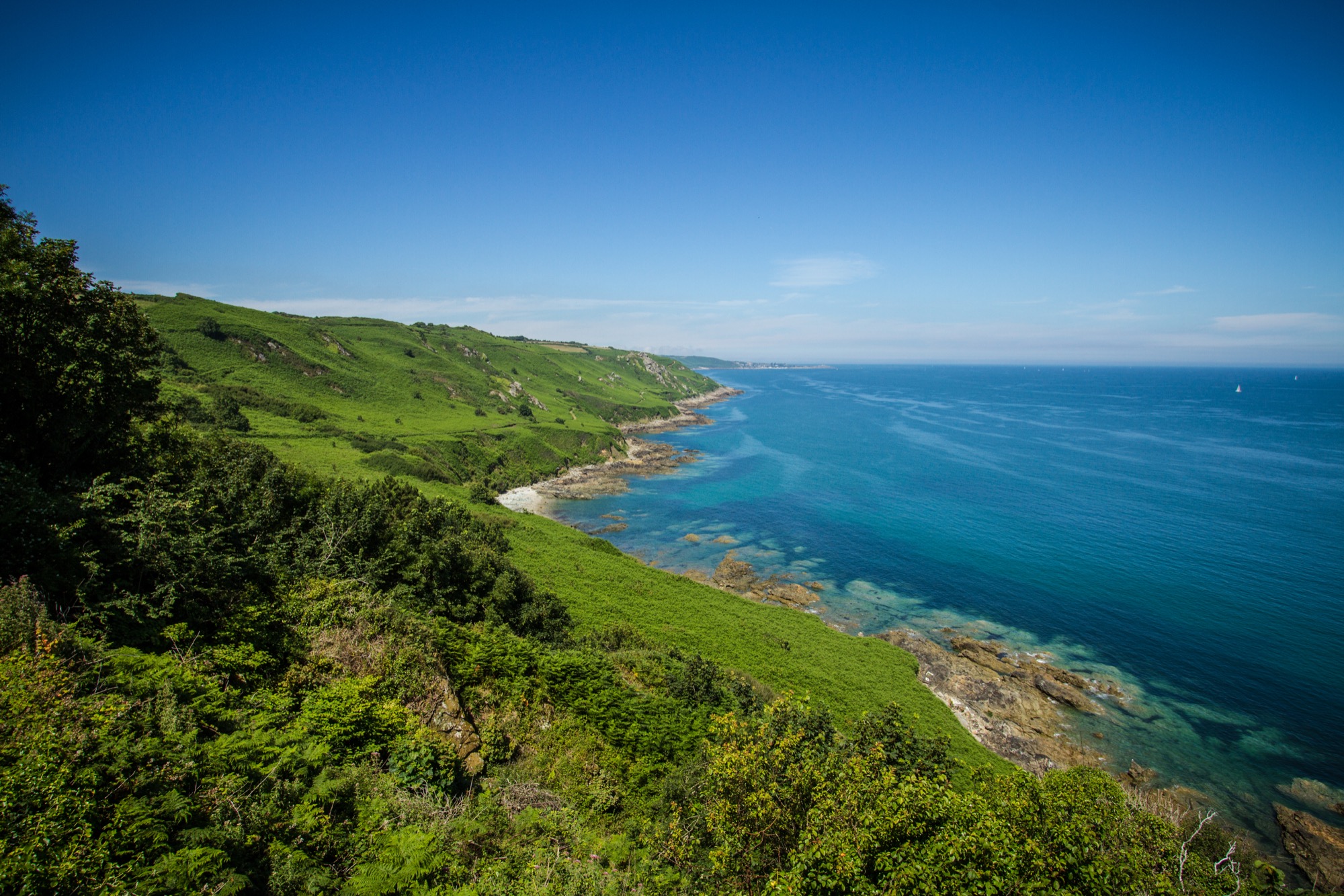
Leaving from Auderville, this walk is relatively easy and takes place in a splendid natural environment.
Indeed, between a coastal path and a passage a little more inland, the beauty and diversity of the landscapes enchant us.
Note however that the inland part is mainly on small roads.

Already more than 200,000 users!
Uphill
134m
Highest point
88m
Downhill
134m
Lowest point
0m
Route type
Loop
Download the map on your smartphone to save battery and rest assured to always keep access to the route, even without signal.
Includes IGN France and Swisstopo.
I indicate whether dogs are allowed or prohibited on this trail
All year
0 ratings
Also enjoy:

Already more than 200,000 users!