Uphill
292m
Length
14km
Duration
4h30min
Elev gain
292m
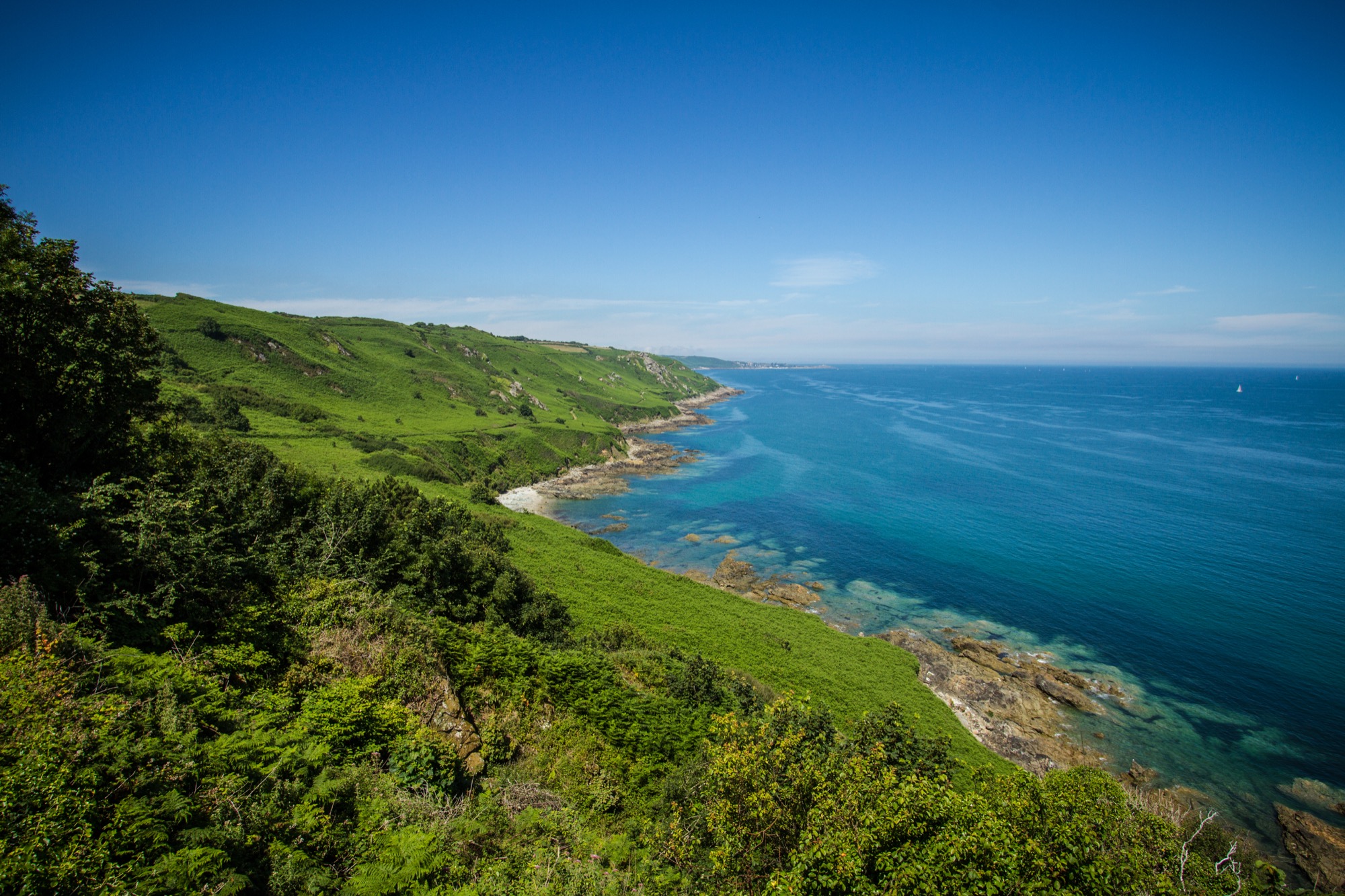
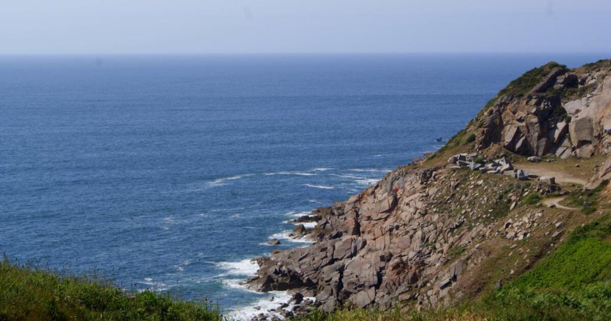
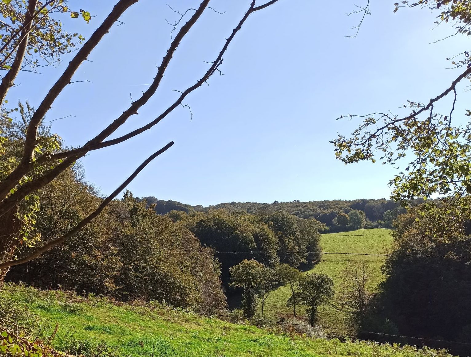
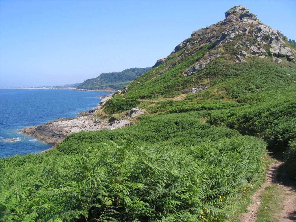
Departing from Le Hable, this long hike explores the country of Millet and Prévet in the Cotentin. The route takes the GR223 and passes by the Manoir du Tourp, the birthplace of Millet, the Castel Vendon then ends up returning to the starting point by the fort of Omonville-Bas. In addition to all this, the views of the sea and its impressive cliffs are splendid.

Already more than 200,000 users!
Uphill
292m
Highest point
124m
Downhill
292m
Lowest point
4m
Route type
Loop
Download the map on your smartphone to save battery and rest assured to always keep access to the route, even without signal.
Includes IGN France and Swisstopo.
I indicate whether dogs are allowed or prohibited on this trail
All year
1 rating
Also enjoy:

Already more than 200,000 users!