Uphill
161m
Length
4km
Duration
1h30min
Elev gain
161m
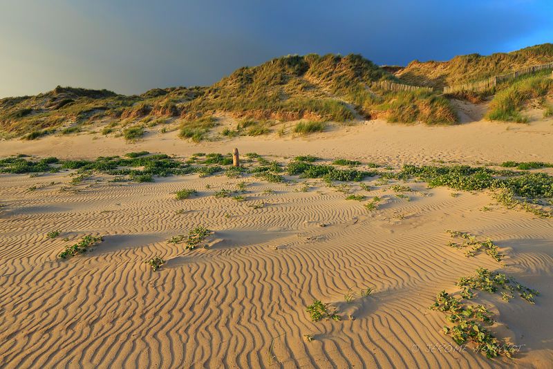
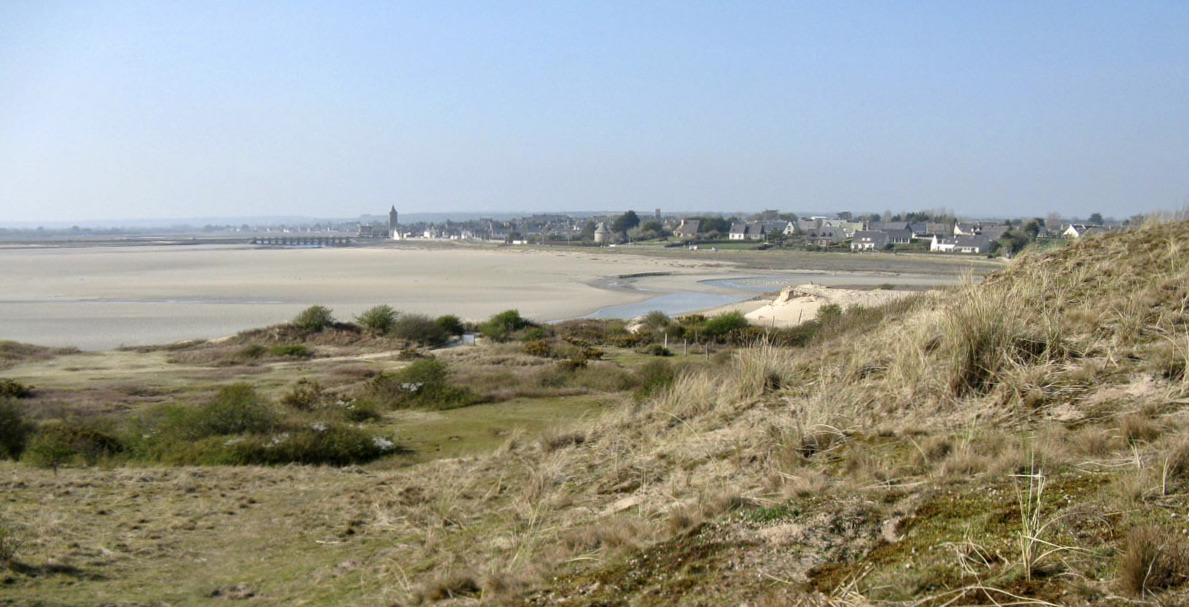
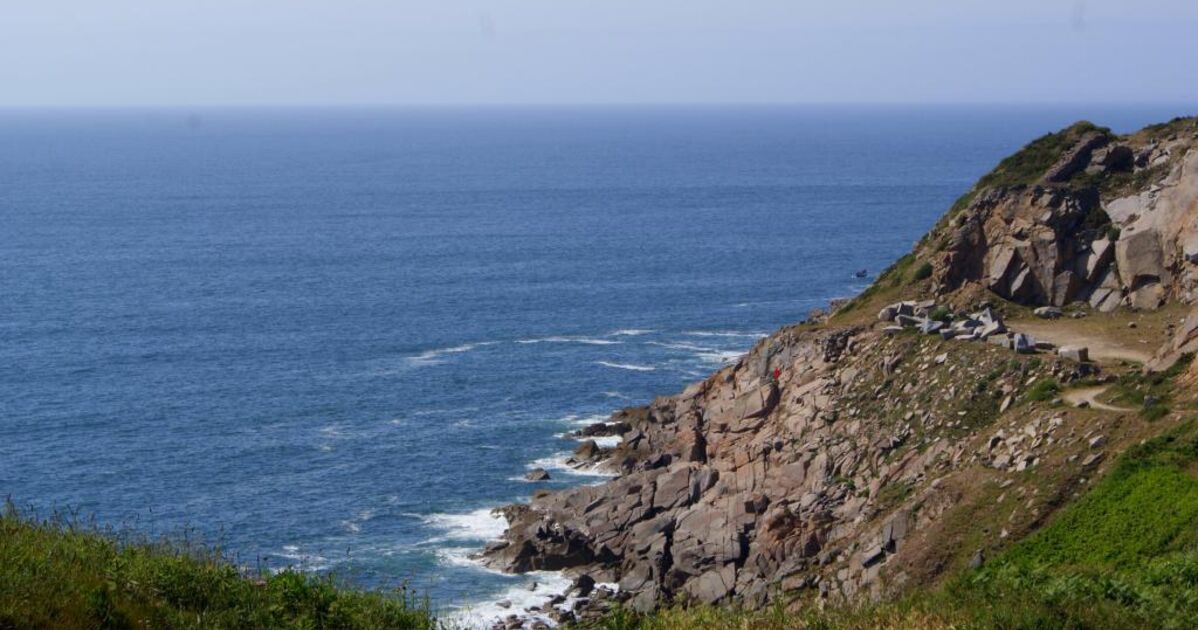
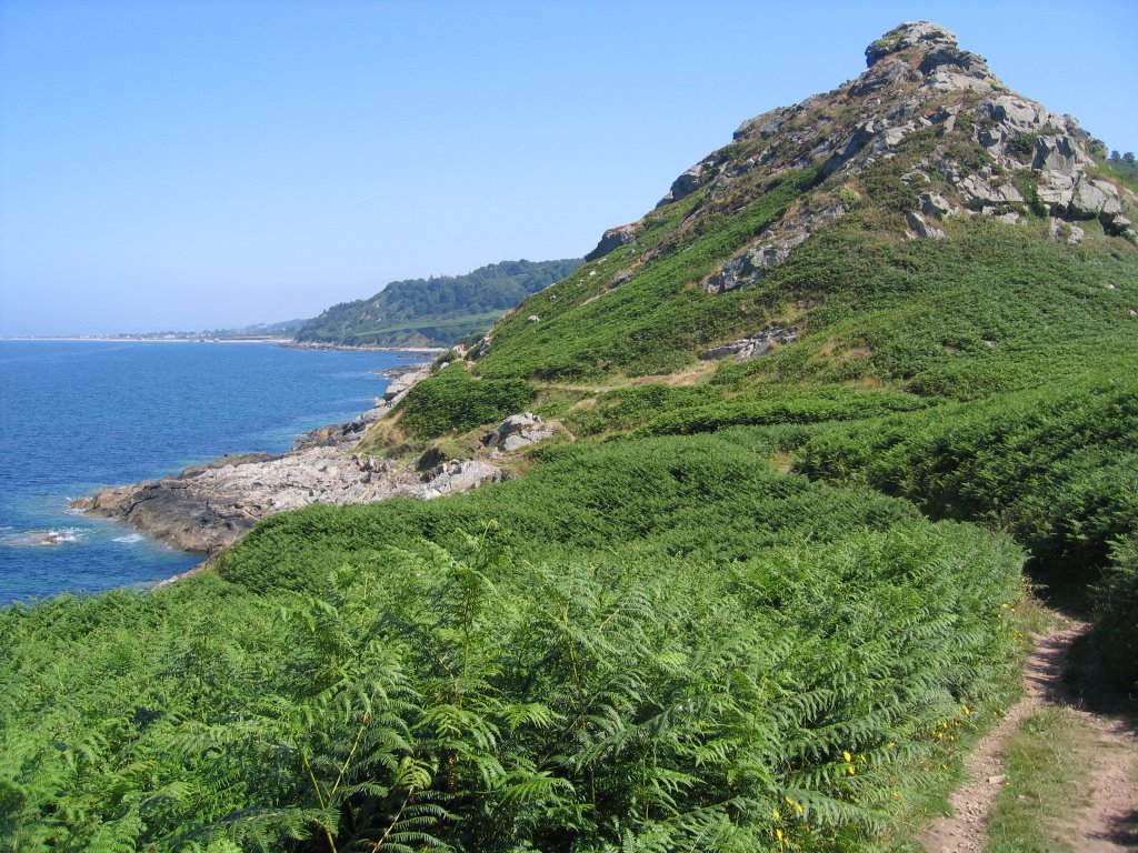
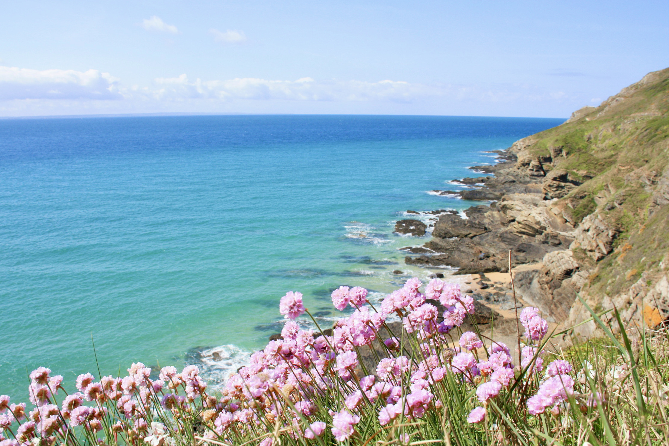
Nice walk that leads to Cap de Carteret. The route makes a short round trip on the coastal path, which offers superb views of the sea.

Already more than 200,000 users!
Uphill
161m
Highest point
59m
Downhill
161m
Lowest point
0m
Route type
There and back
Download the map on your smartphone to save battery and rest assured to always keep access to the route, even without signal.
Includes IGN France and Swisstopo.
I indicate whether dogs are allowed or prohibited on this trail
All year
1 rating
Superbes vues depuis ce sentier
Also enjoy:

Already more than 200,000 users!