Uphill
449m
Length
20km
Duration
6h
Elev gain
449m
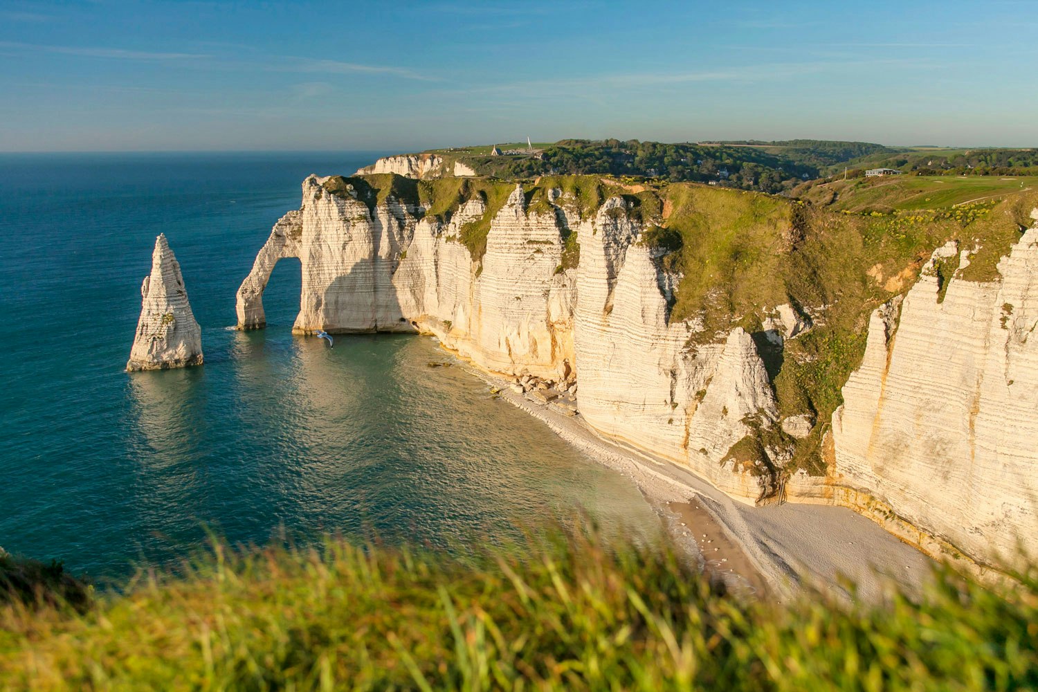
Walk on the heights of Étretat, offering several points of view on the famous cliffs. Note that there are some passages on the road.

Already more than 200,000 users!
Uphill
449m
Highest point
111m
Downhill
449m
Lowest point
4m
Route type
Loop
Download the map on your smartphone to save battery and rest assured to always keep access to the route, even without signal.
Includes IGN France and Swisstopo.
I indicate whether dogs are allowed or prohibited on this trail
All year
2 ratings
Also enjoy:

Already more than 200,000 users!


