Uphill
239m
Length
9km
Duration
3h
Elev gain
239m
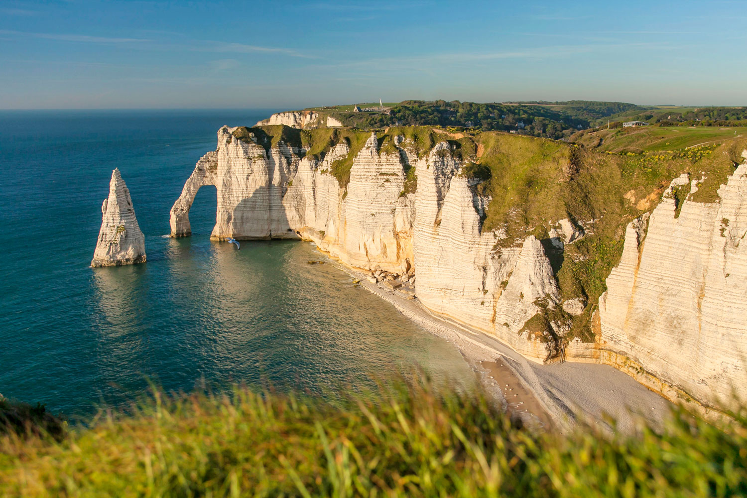
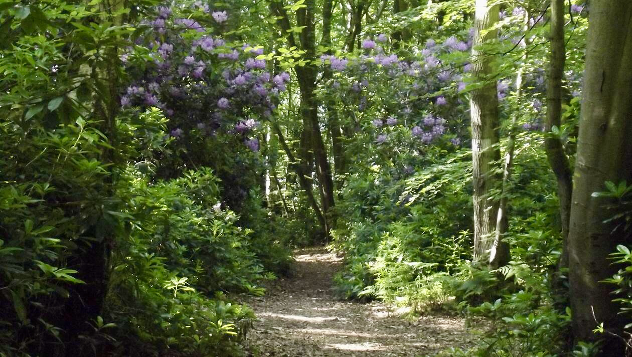
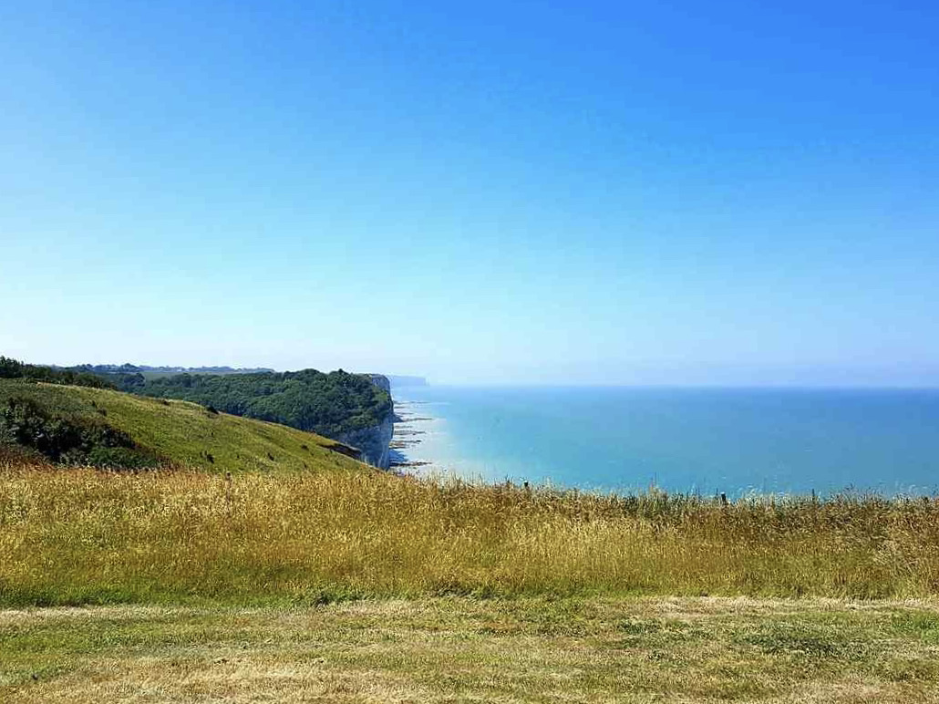
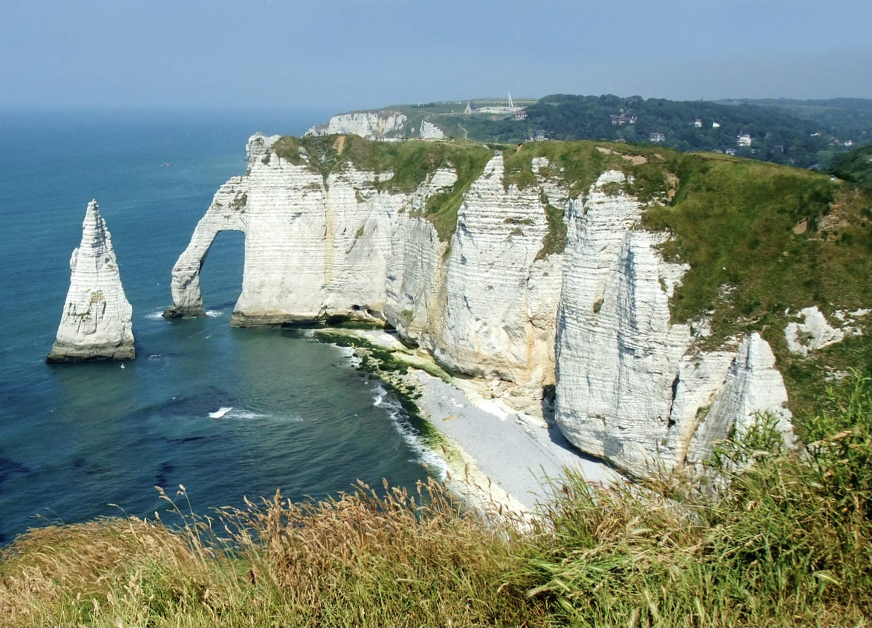
This route begins with a classic: the cliffs of Étretat. But past the famous needle, the path plunges into the land and allows you to discover the valleys of the Pays de Caux, between undergrowth and countryside.
Note that the walk takes place on small roads several times.

Already more than 200,000 users!
Uphill
239m
Highest point
117m
Downhill
239m
Lowest point
4m
Route type
Loop
Download the map on your smartphone to save battery and rest assured to always keep access to the route, even without signal.
Includes IGN France and Swisstopo.
I indicate whether dogs are allowed or prohibited on this trail
All year
0 ratings
Also enjoy:

Already more than 200,000 users!