Uphill
147m
Length
11km
Duration
3h
Elev gain
147m
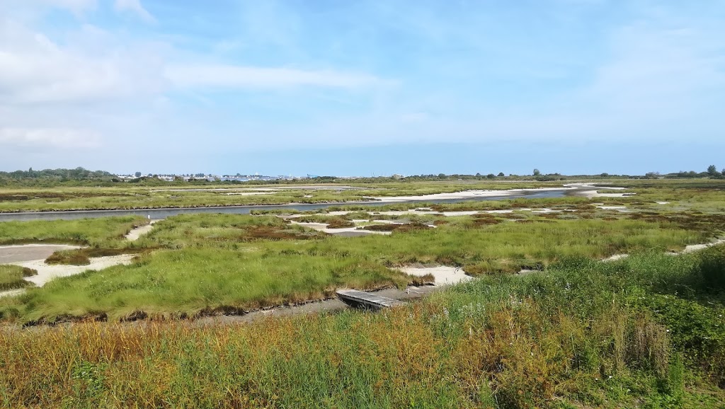
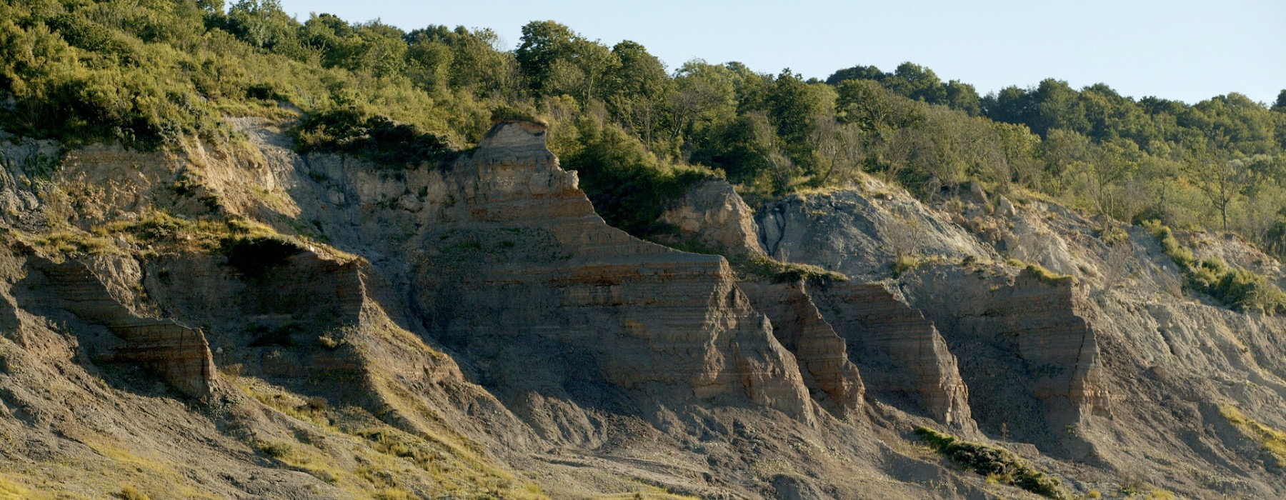
Departing from Houlgate, this route must be done at low tide in order to be able to walk on Vaches Noires beach.
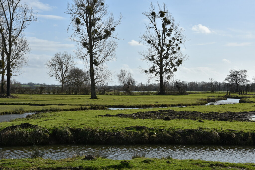
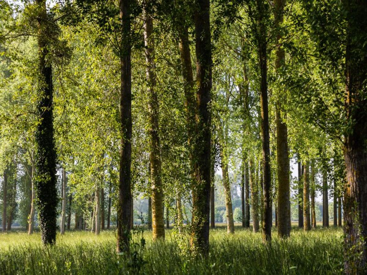
The return is then made on paths between hamlets and countryside, while the last three kilometers are on the road.

Already more than 200,000 users!
Uphill
147m
Highest point
137m
Downhill
147m
Lowest point
0m
Route type
Loop
Download the map on your smartphone to save battery and rest assured to always keep access to the route, even without signal.
Includes IGN France and Swisstopo.
I indicate whether dogs are allowed or prohibited on this trail
All year
3 ratings
À faire sans l’ombre d’un doute si vous êtes dans le coin, grande variété d’ambiances et de paysages, la partie route existe bien mais on revient sur des sentiers agréables avant le retour à Houlgate.
Très belle rando mais les 3 derniers kilomètres très décevant…
Also enjoy:

Already more than 200,000 users!