Uphill
59m
Length
8km
Duration
2h
Elev gain
59m
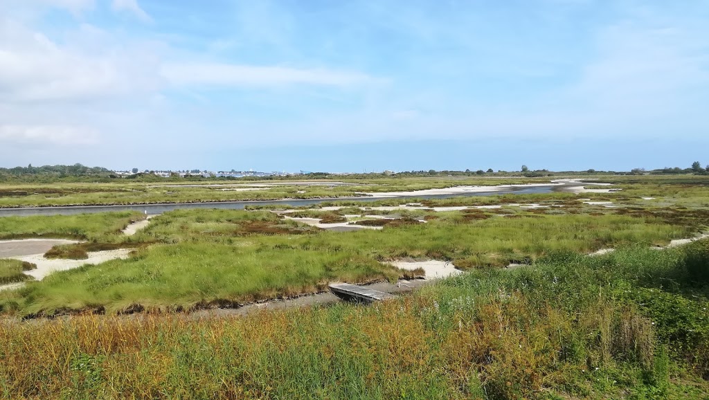
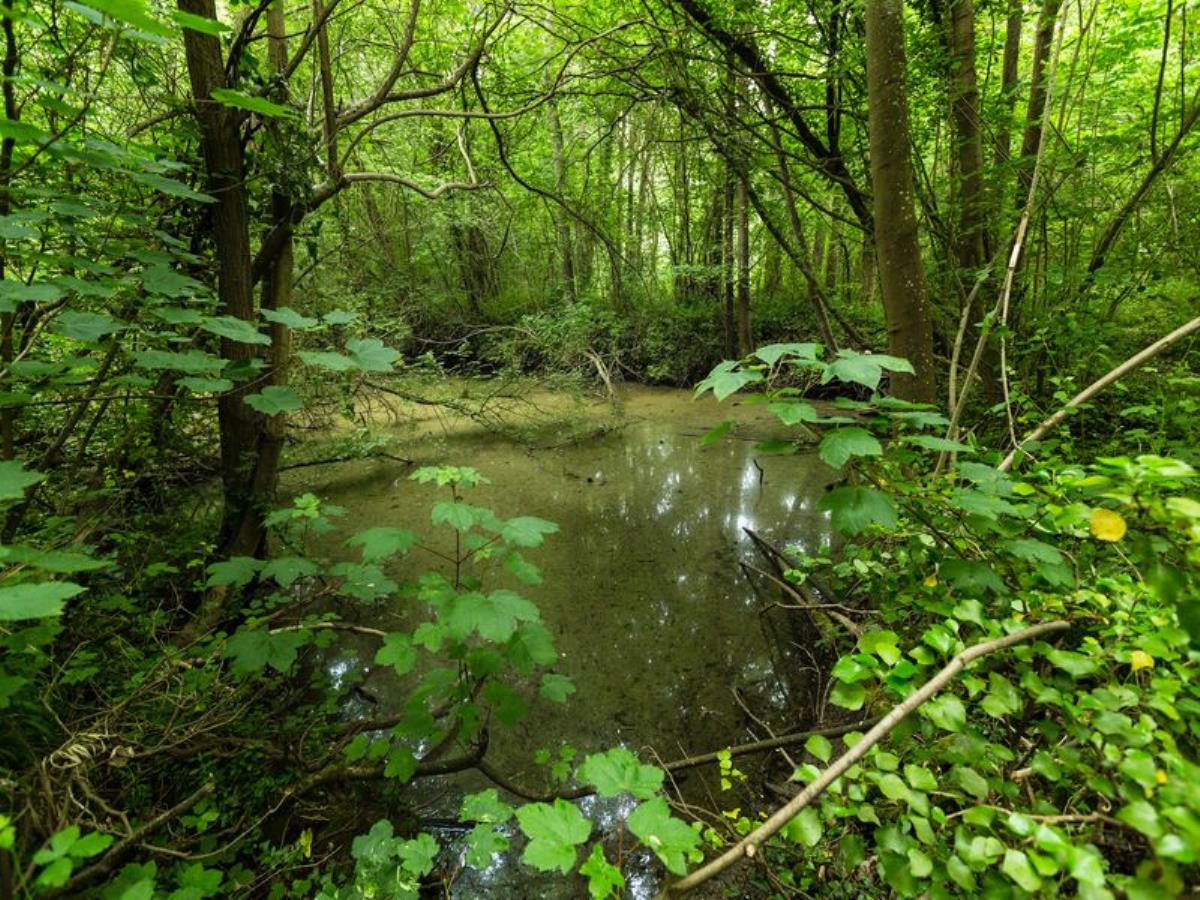
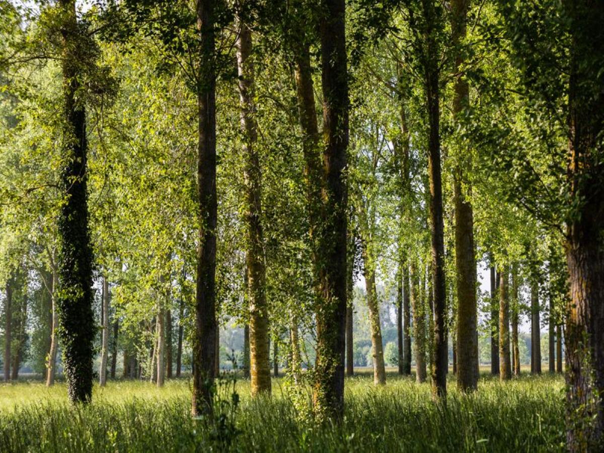
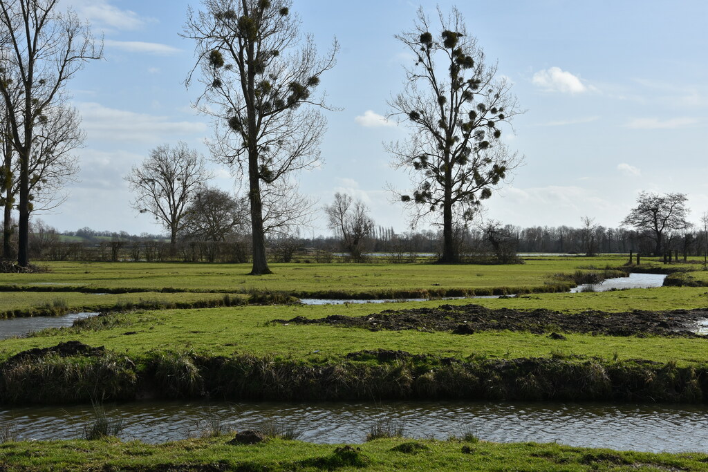
Walk in the Bavent marshes, near the Saint-Laurent and the Divette, which allows you to discover a very rich flora and fauna. The path also runs along the end of the Bois de Bavent.
Note that the end is on the road.

Already more than 200,000 users!
Uphill
59m
Highest point
46m
Downhill
59m
Lowest point
5m
Route type
Loop
Download the map on your smartphone to save battery and rest assured to always keep access to the route, even without signal.
Includes IGN France and Swisstopo.
I indicate whether dogs are allowed or prohibited on this trail
All year
1 rating
Also enjoy:

Already more than 200,000 users!