Uphill
328m
Length
8km
Duration
3h
Elev gain
328m
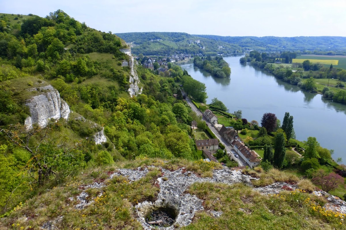
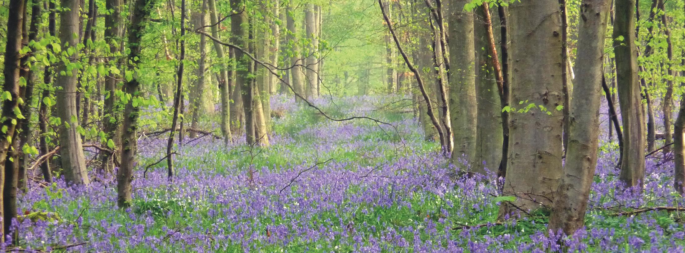
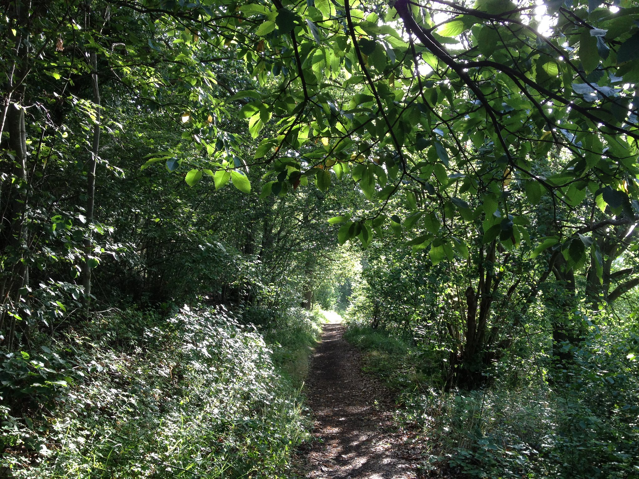
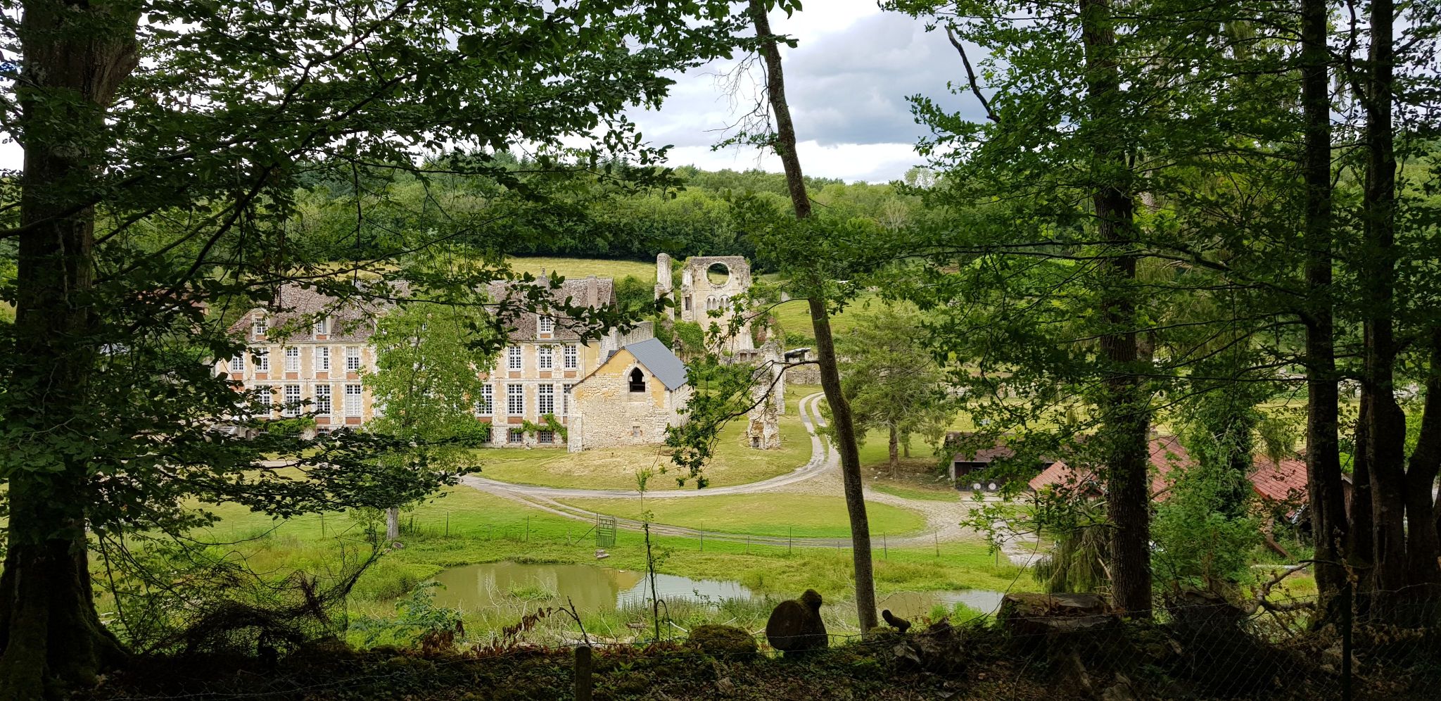
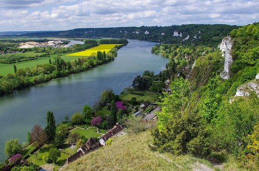
Loop trail on the cliffs of the Seine valley, which allow you to overlook Les Andelys and its castle.

Already more than 200,000 users!
Uphill
328m
Highest point
147m
Downhill
328m
Lowest point
11m
Route type
Loop
Download the map on your smartphone to save battery and rest assured to always keep access to the route, even without signal.
Includes IGN France and Swisstopo.
I indicate whether dogs are allowed or prohibited on this trail
All year
3 ratings
nous avons adoré la partie de la rando que nous avons parcourue...de bas en haut, de haut en bas, de bas en haut...pause pique-nique point de vue magnifique...pour reprendre les dénivelés pentus, parfois glissants mais de toute beauté. nous avons quitté la boucle pour rentrer par les bords de seine pour terminer notre balade en toute tranquillité.
Also enjoy:

Already more than 200,000 users!