Uphill
219m
Length
8km
Duration
2h30min
Elev gain
219m
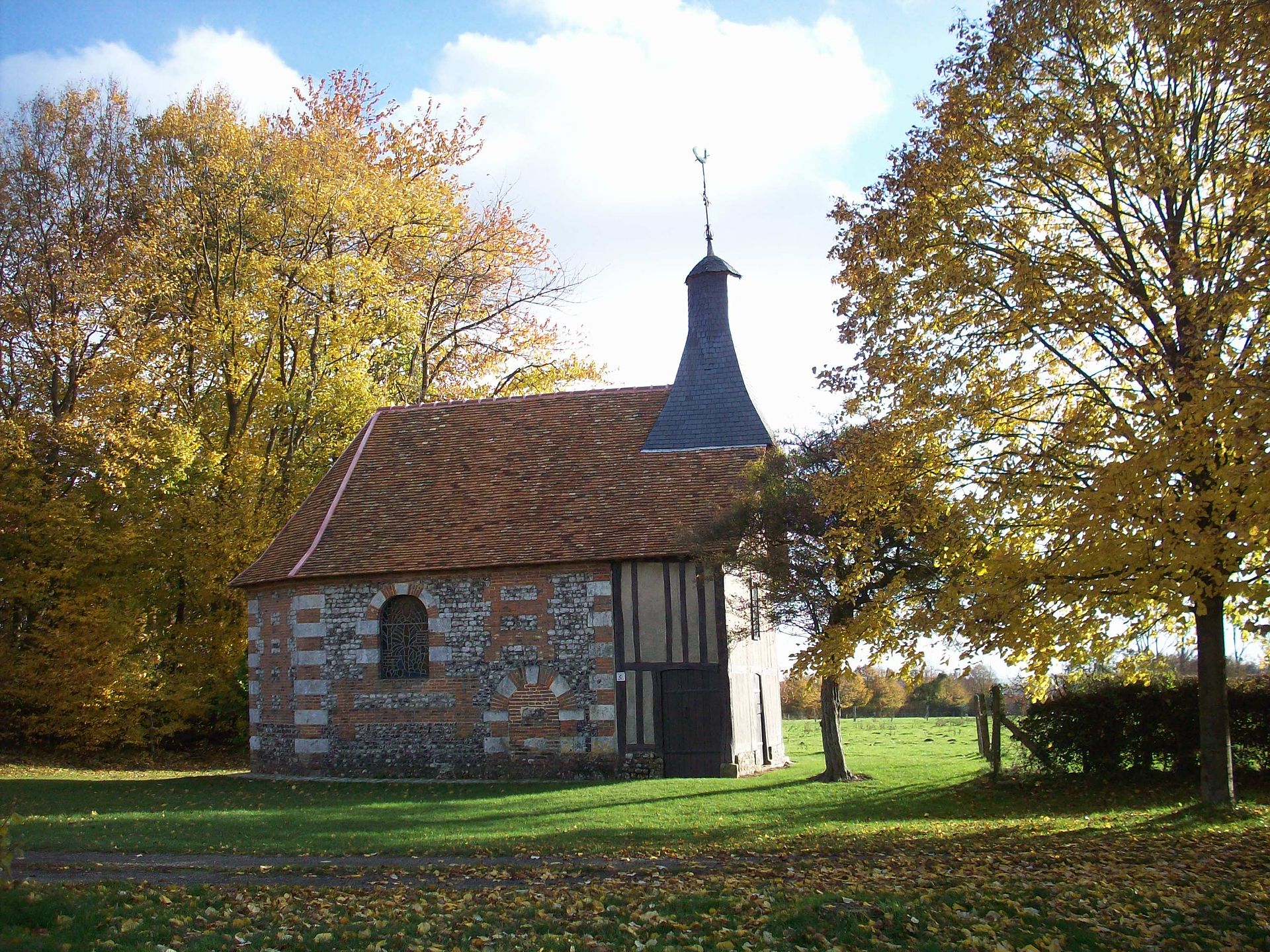
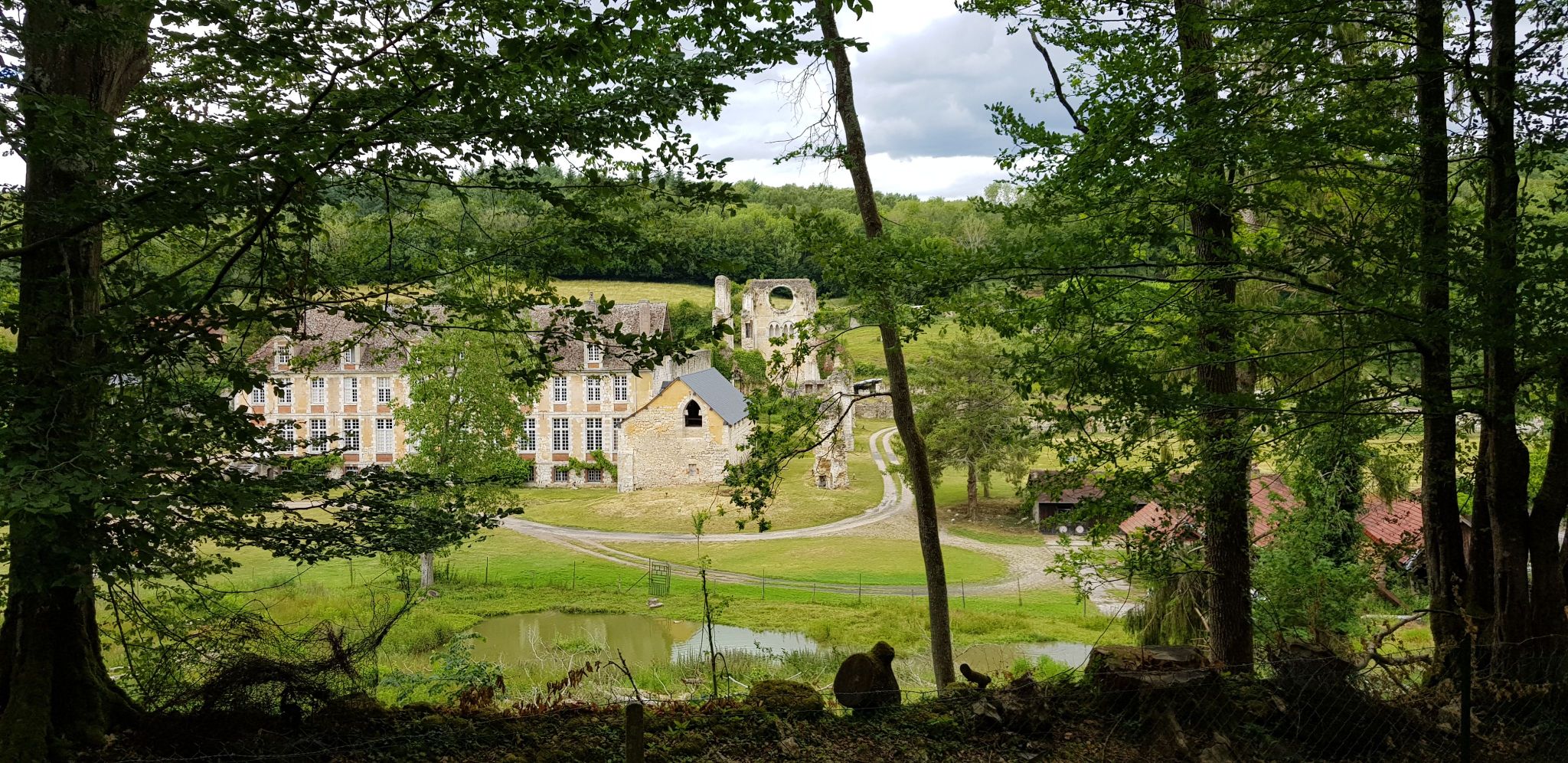
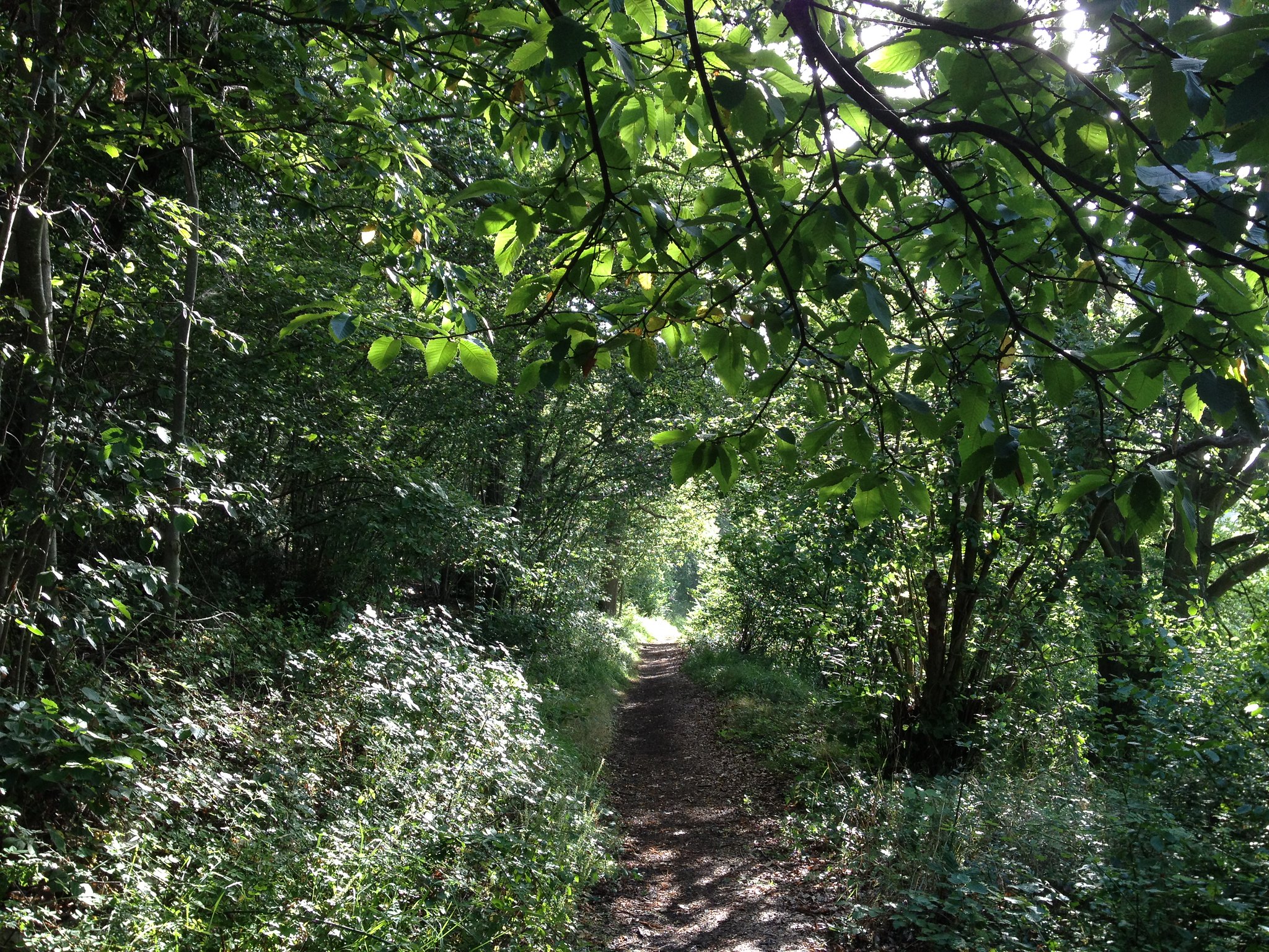
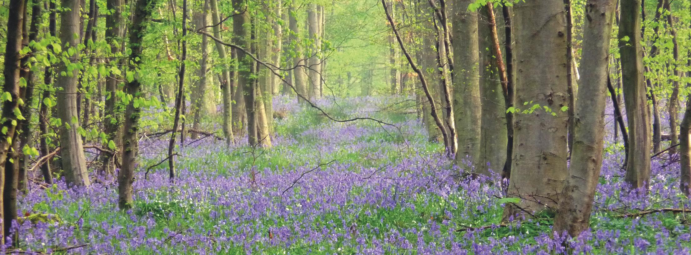
Walk in the heart of the forest of Lyons, which is one of the most beautiful beech groves in France.
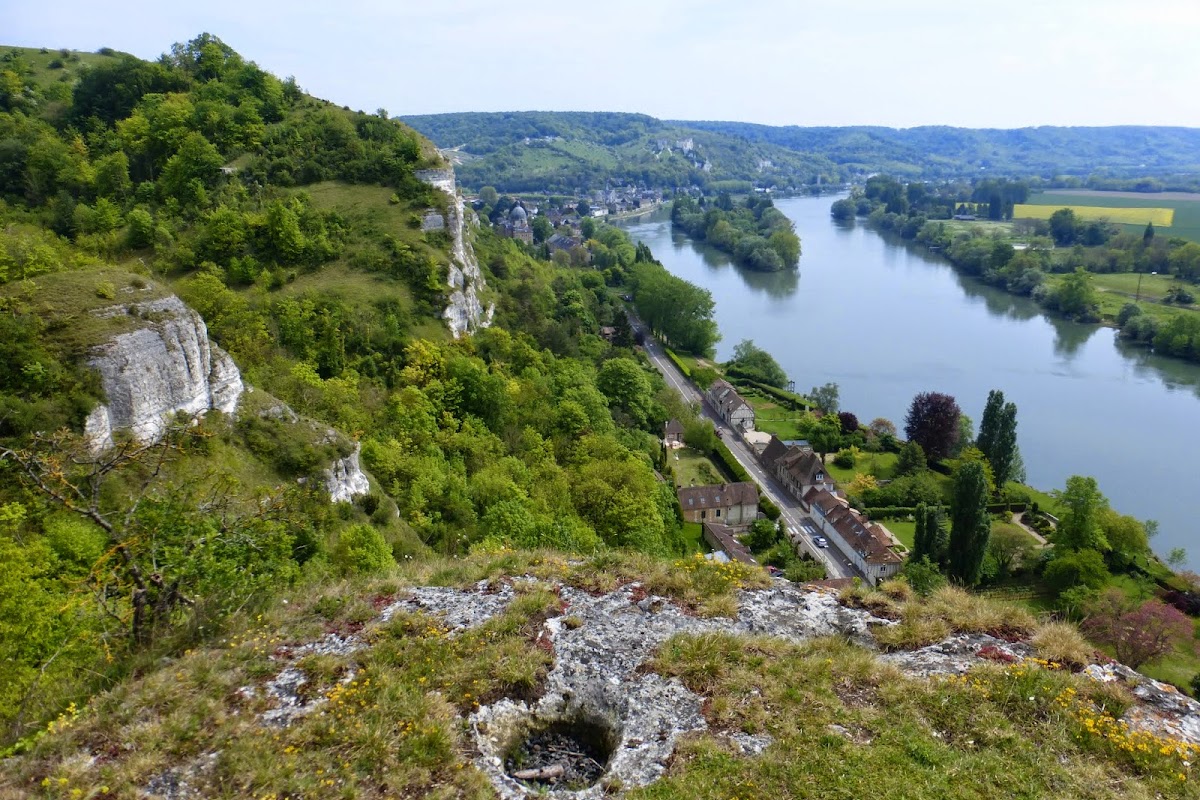
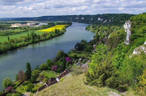
This path takes the name of a spring fed by the water table and running for about 300 meters before emptying into the Andelle.

Already more than 200,000 users!
Uphill
219m
Highest point
159m
Downhill
219m
Lowest point
28m
Route type
Loop
Download the map on your smartphone to save battery and rest assured to always keep access to the route, even without signal.
Includes IGN France and Swisstopo.
I indicate whether dogs are allowed or prohibited on this trail
All year
1 rating
Forêt non entretenue, chemins non
praticables. De très nombreux arbres sont au sol et bloquent les sentiers
Also enjoy:

Already more than 200,000 users!