Uphill
266m
France > Nouvelle-Aquitaine > Deux-Sèvres
Length
12km
Duration
3h30min
Elev gain
266m
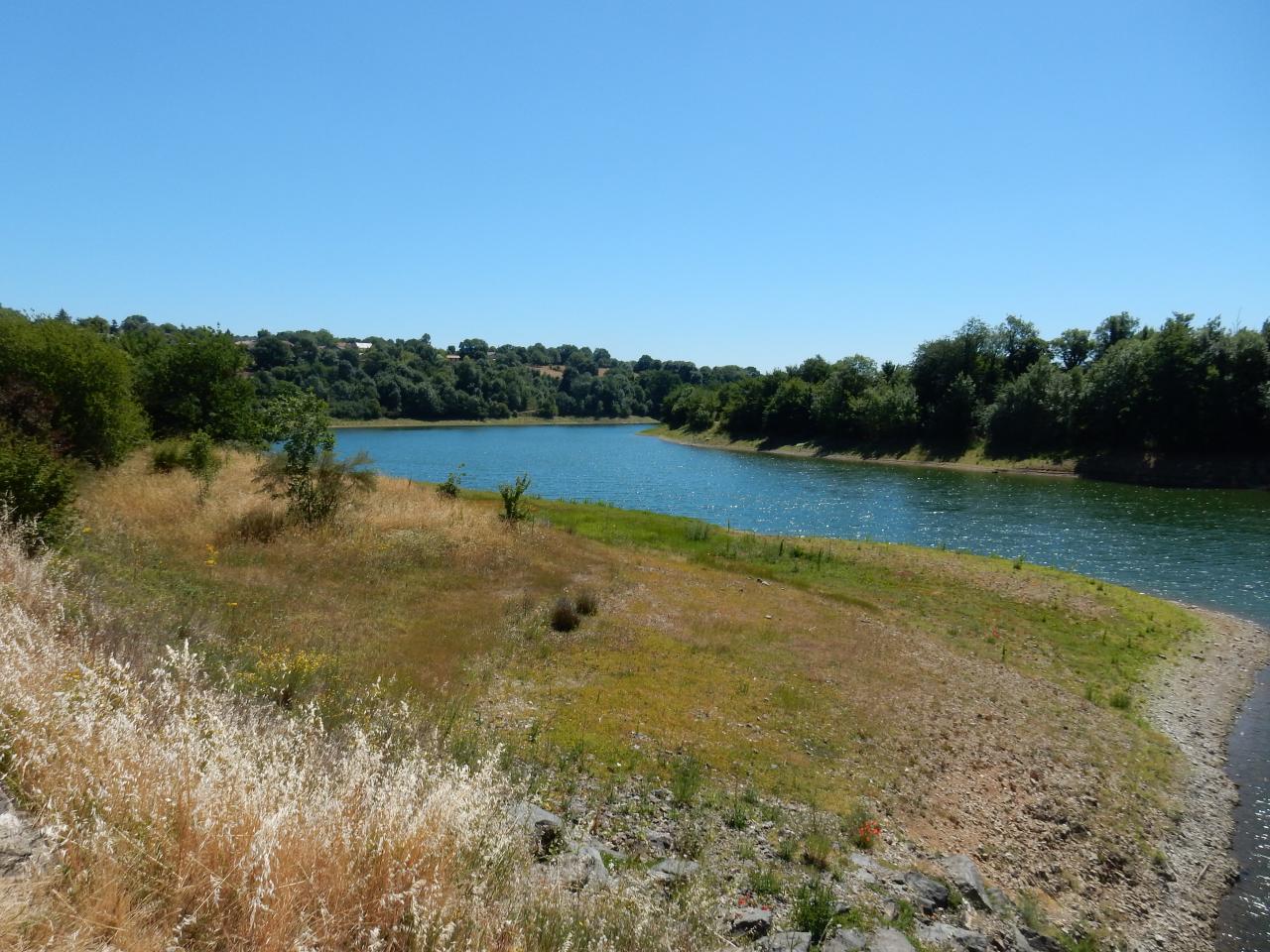
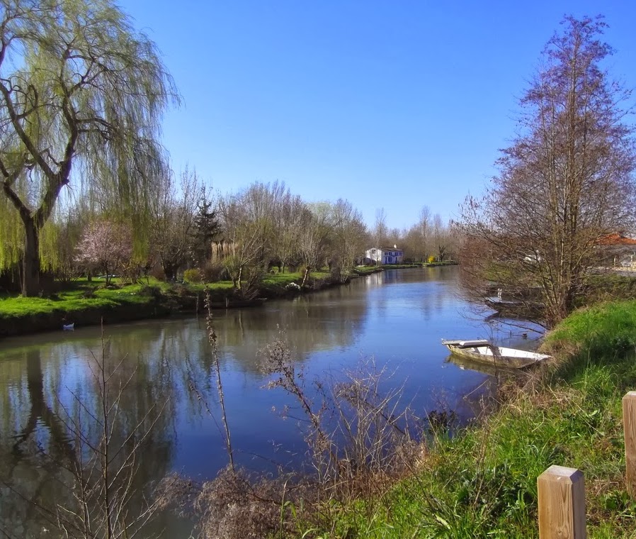
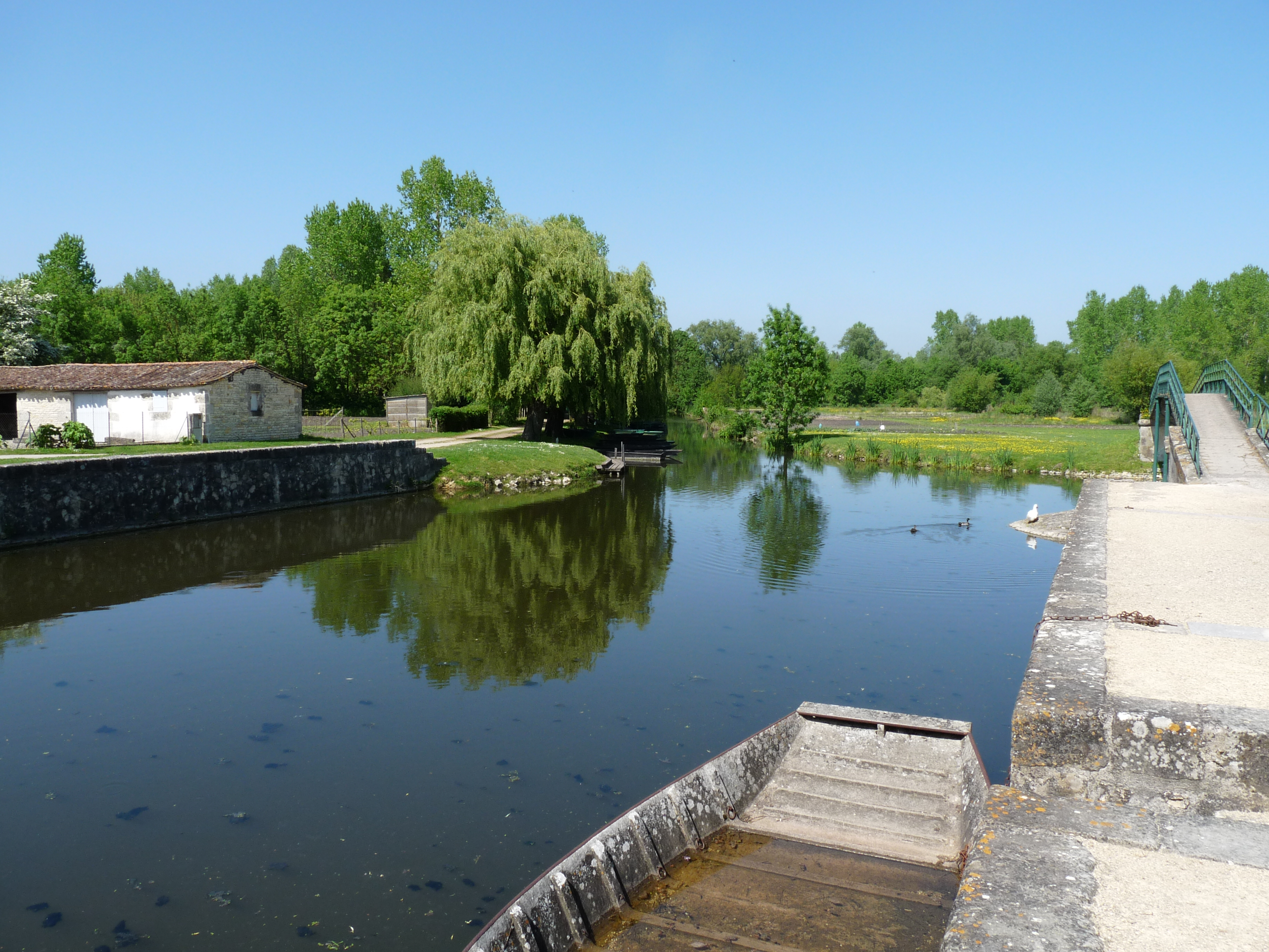
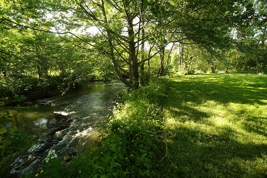
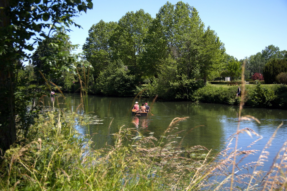
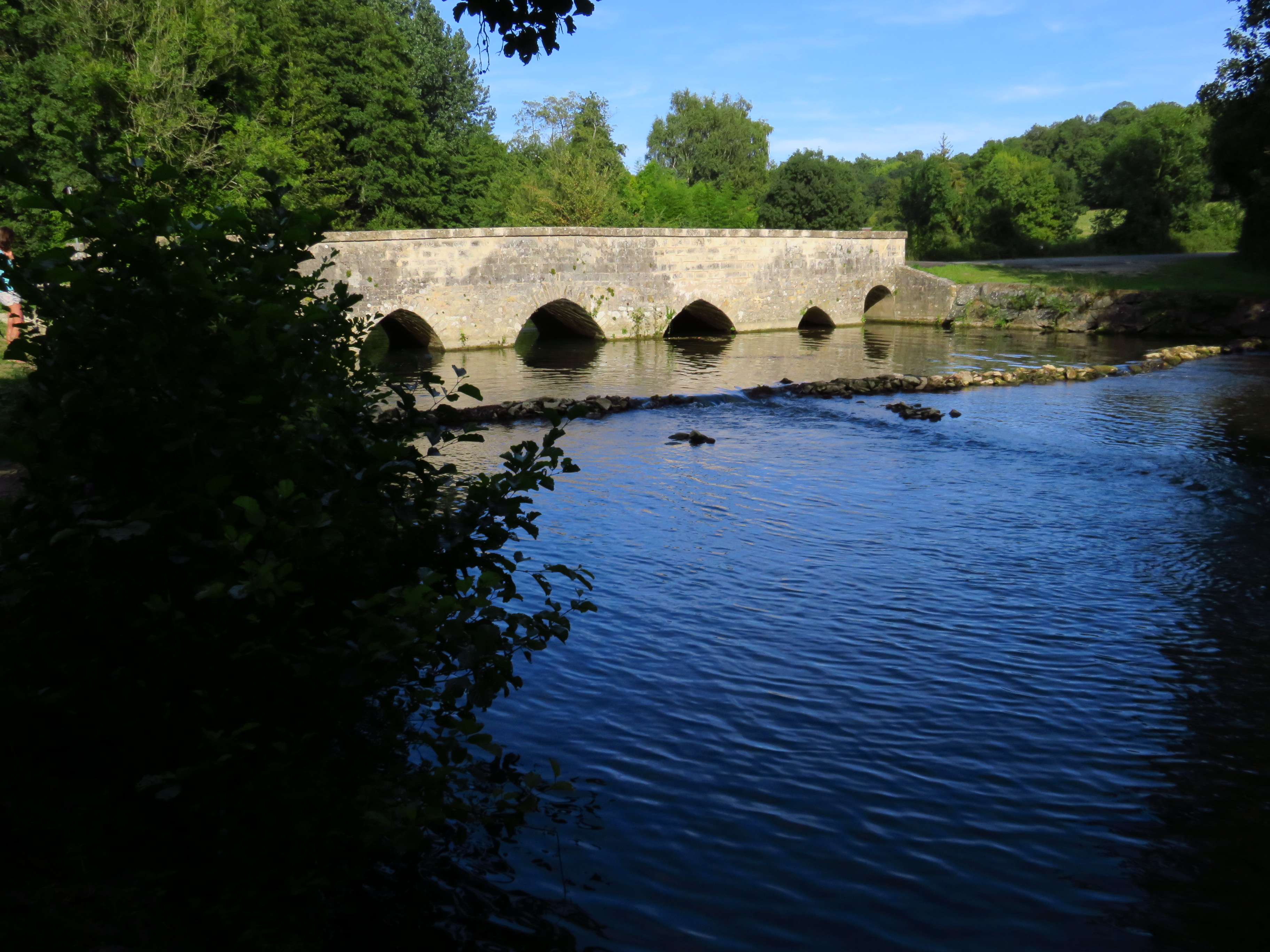
Looking for a hike to reconnect with nature? There it is. Between the communes of Saint-Néomaye and Gentray, this route makes a large loop between river, forest, fields and hamlets. Everything is there to have a good time.

Already more than 200,000 users!
Uphill
266m
Highest point
142m
Downhill
266m
Lowest point
40m
Route type
Loop
Download the map on your smartphone to save battery and rest assured to always keep access to the route, even without signal.
Includes IGN France and Swisstopo.
I indicate whether dogs are allowed or prohibited on this trail
All year
0 ratings
Also enjoy:

Already more than 200,000 users!