Uphill
33m
France > Nouvelle-Aquitaine > Deux-Sèvres > Marais Poitevin Regional Natural Park
Length
10km
Duration
2h30min
Elev gain
33m
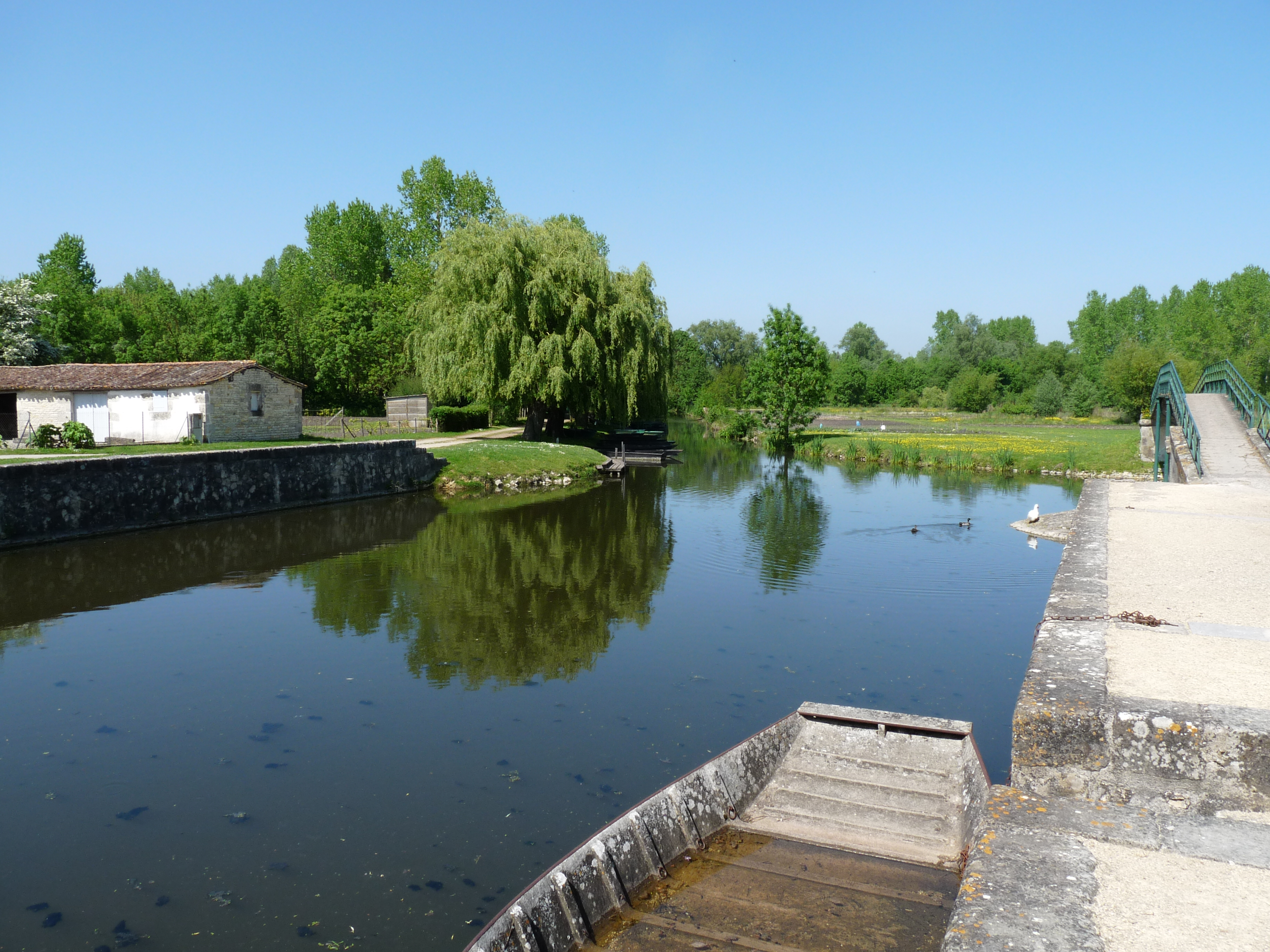
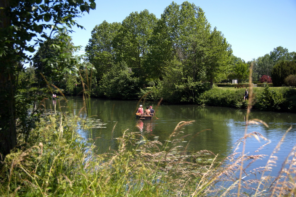
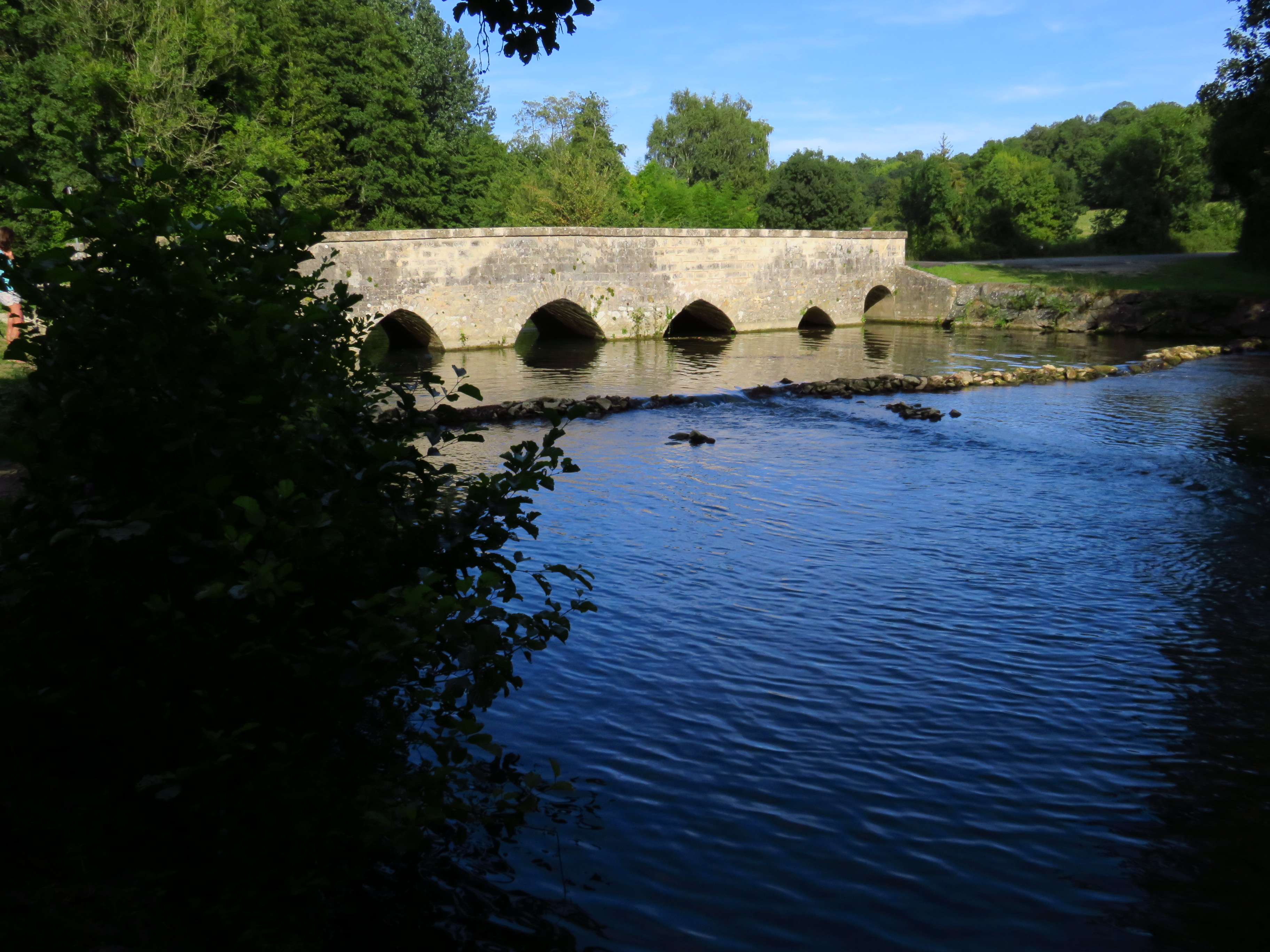
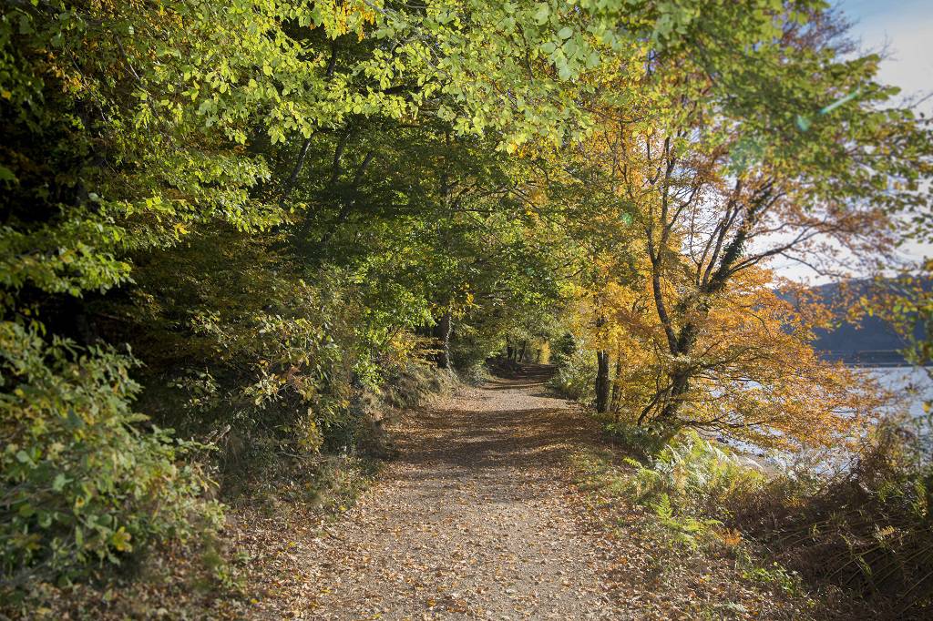
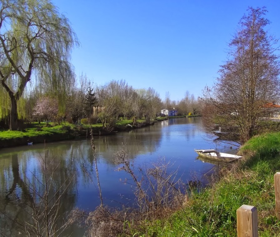
Here is a very pleasant walk between the towns of Magné and Coulon. The route follows a pretty path that runs along the Sèvre Niortaise, bordered by undergrowth and fields.

Already more than 200,000 users!
Uphill
33m
Highest point
34m
Downhill
33m
Lowest point
6m
Route type
Loop
Download the map on your smartphone to save battery and rest assured to always keep access to the route, even without signal.
Includes IGN France and Swisstopo.
I indicate whether dogs are allowed or prohibited on this trail
All year
1 rating
Also enjoy:

Already more than 200,000 users!