Uphill
285m
Length
11km
Duration
3h30min
Elev gain
285m
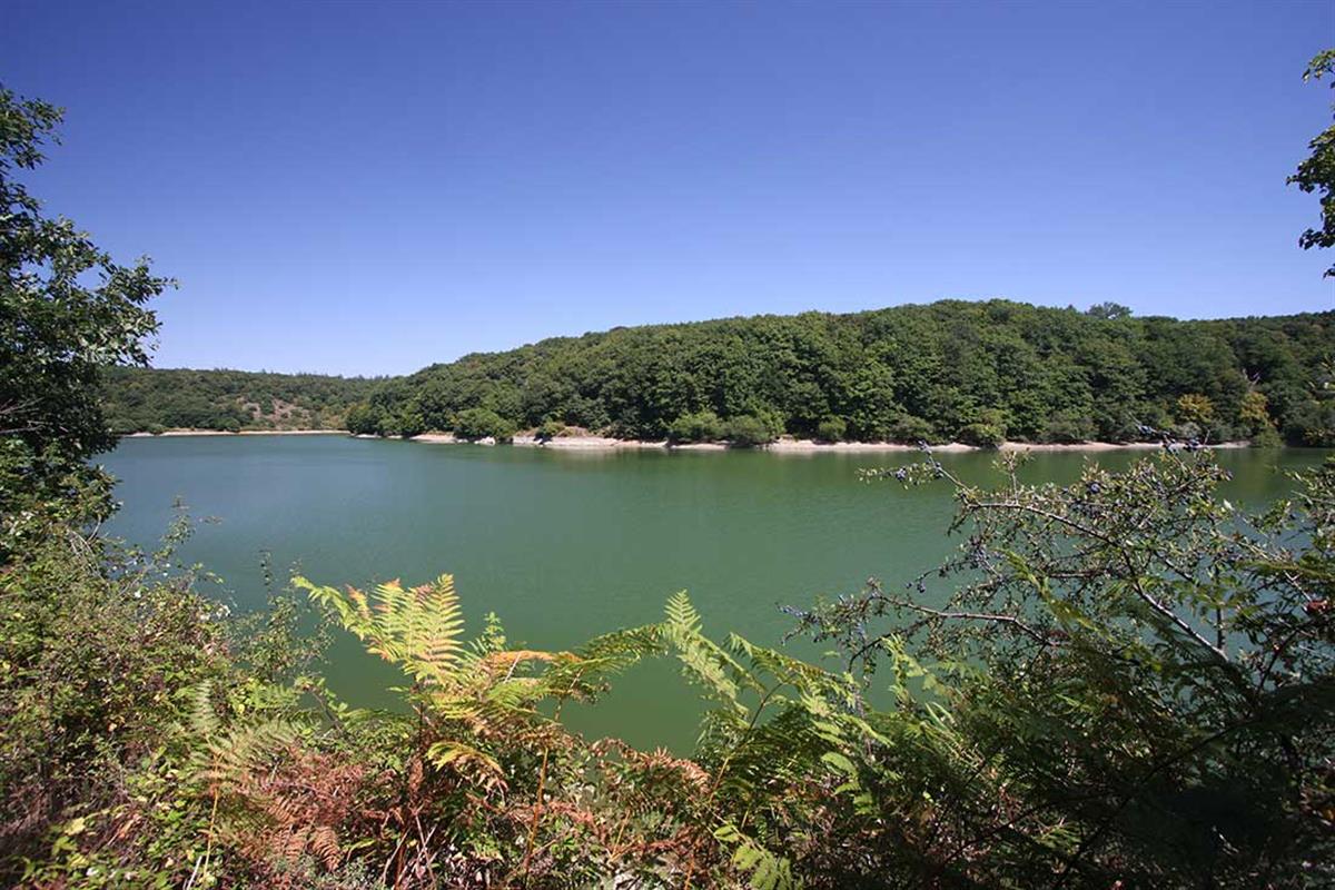
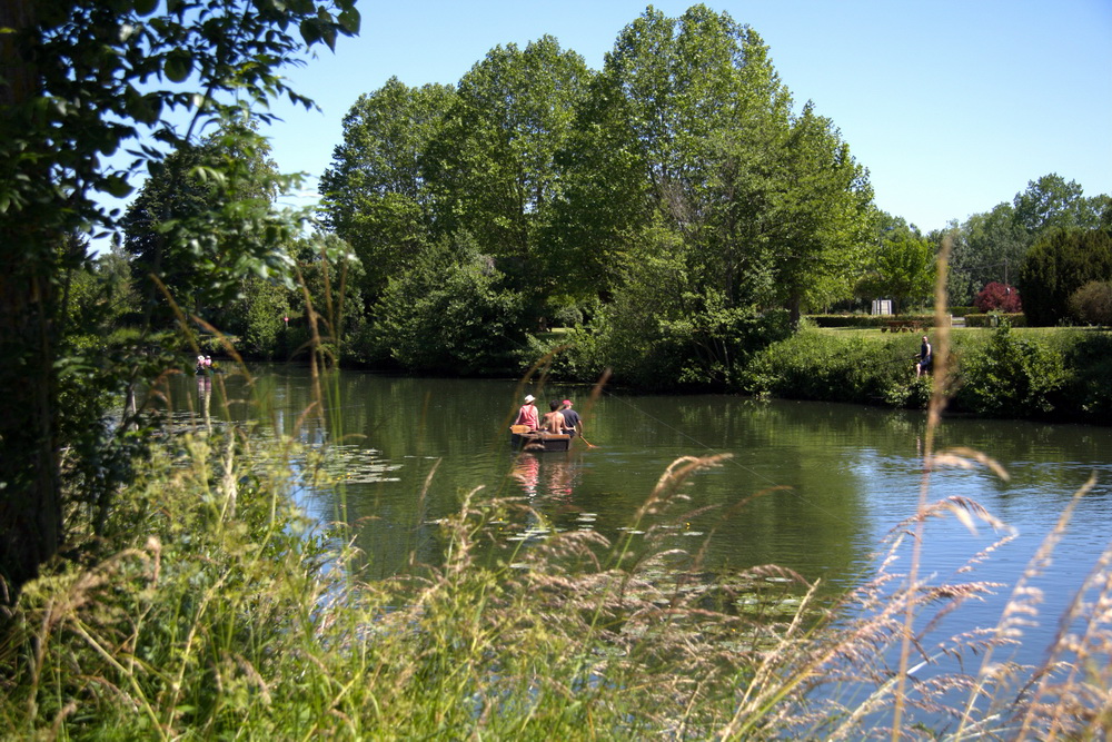
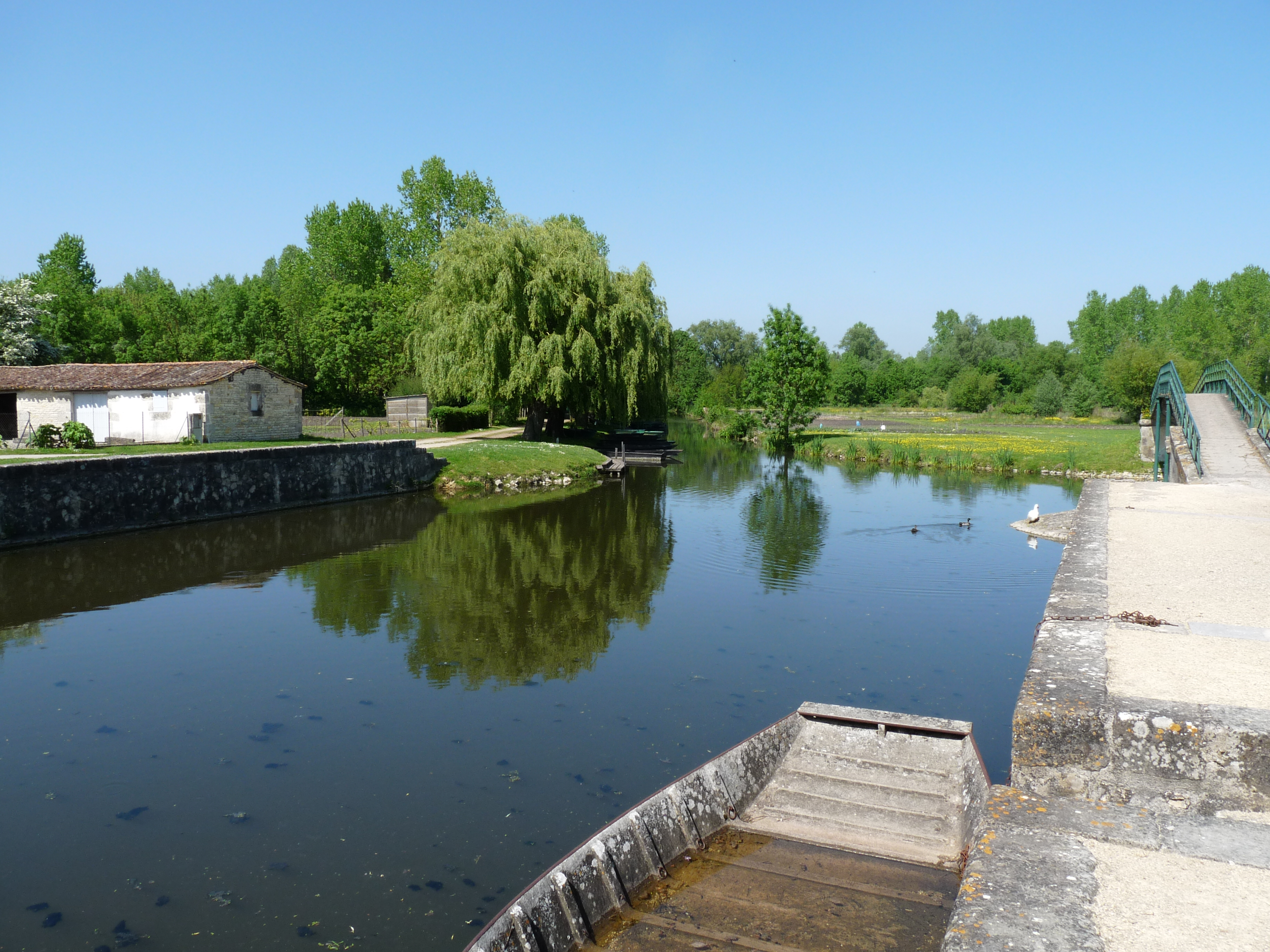
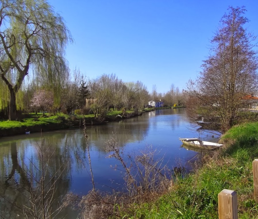
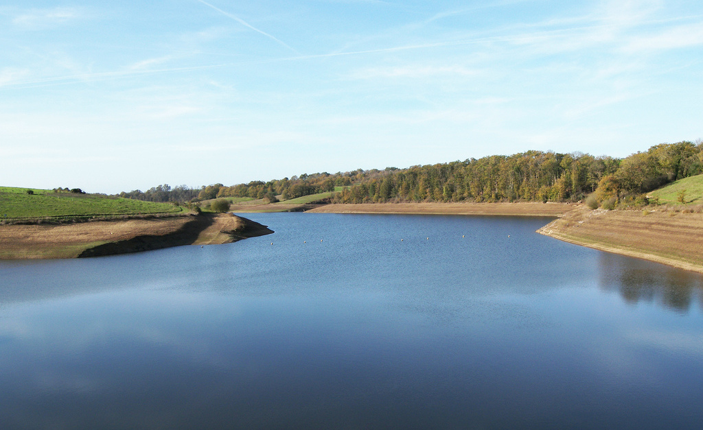
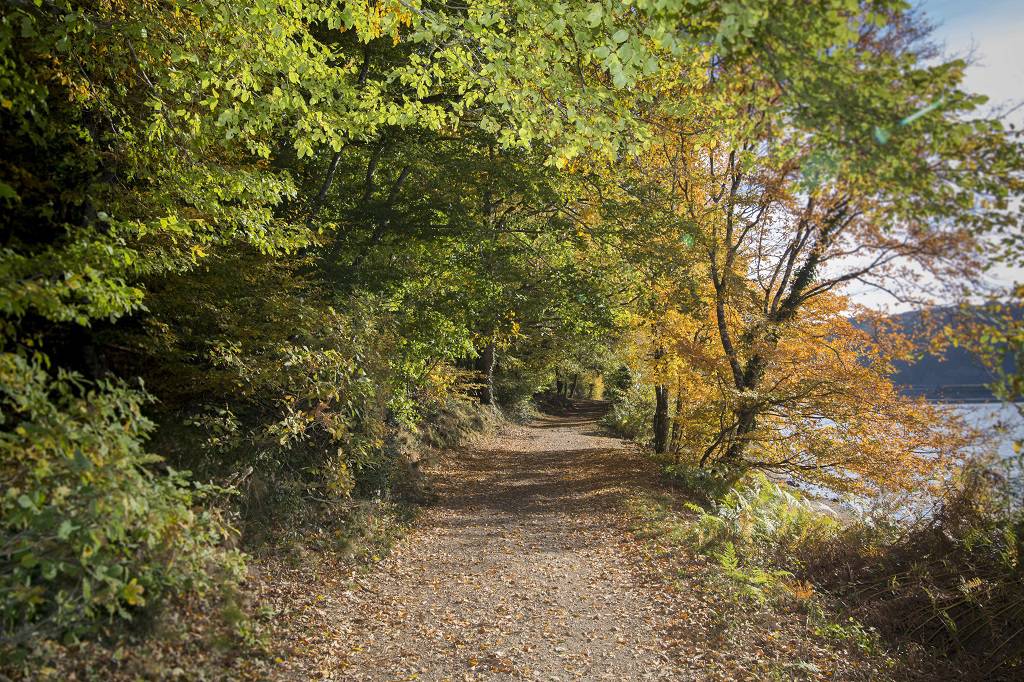
Walk along the Citardière path, the Mère river and in the Mervent forest.

Already more than 200,000 users!
Uphill
285m
Highest point
112m
Downhill
285m
Lowest point
28m
Route type
Loop
Download the map on your smartphone to save battery and rest assured to always keep access to the route, even without signal.
Includes IGN France and Swisstopo.
I indicate whether dogs are allowed or prohibited on this trail
All year
1 rating
Also enjoy:

Already more than 200,000 users!