Uphill
191m
Length
10km
Duration
3h
Elev gain
191m
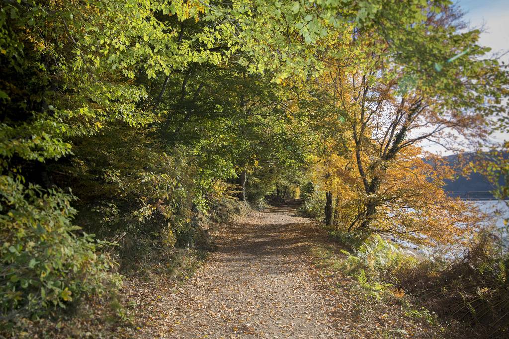
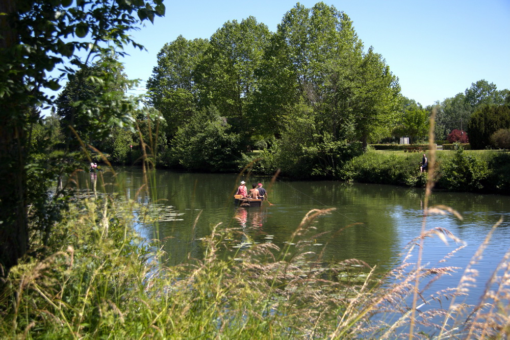
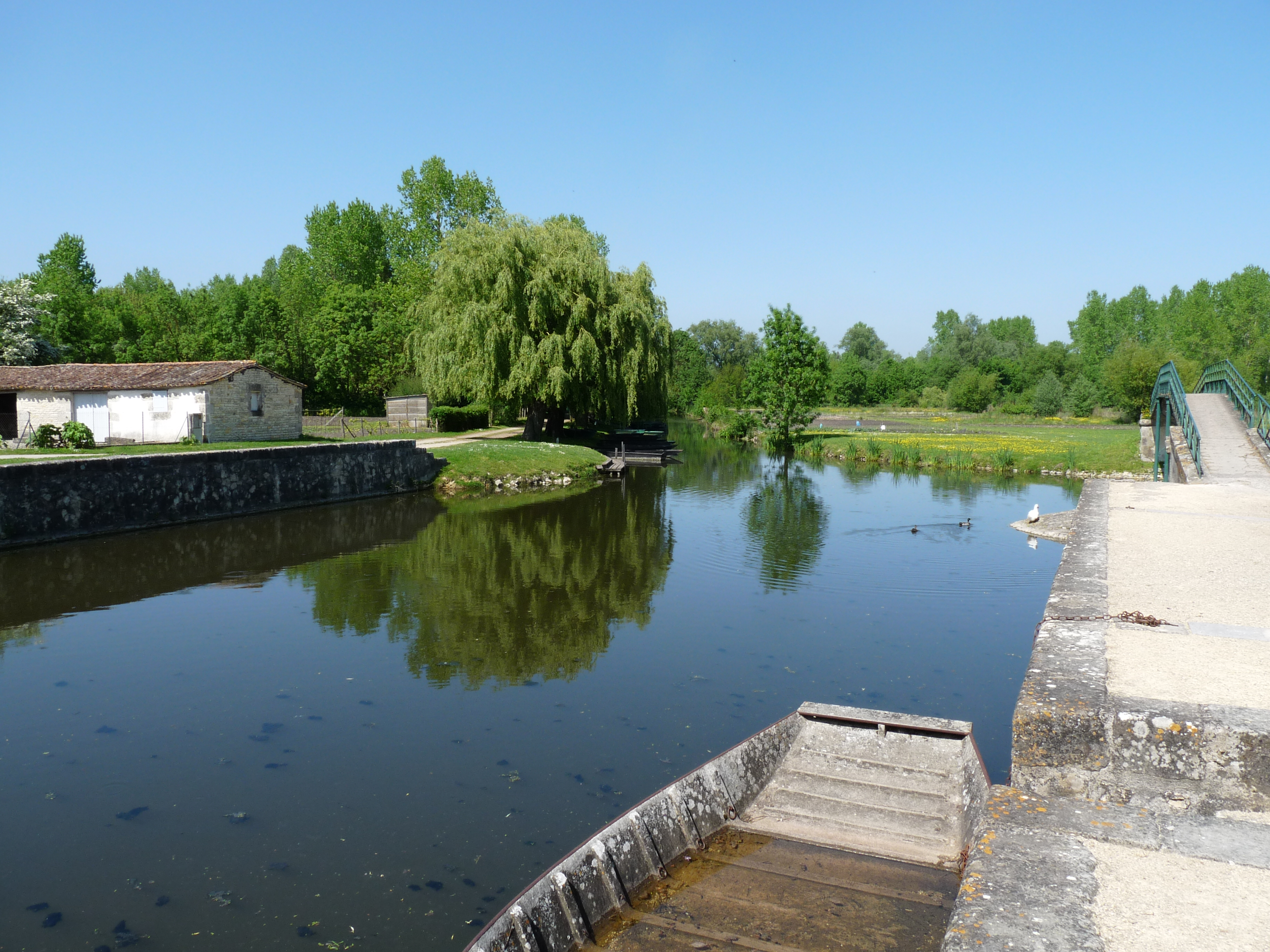
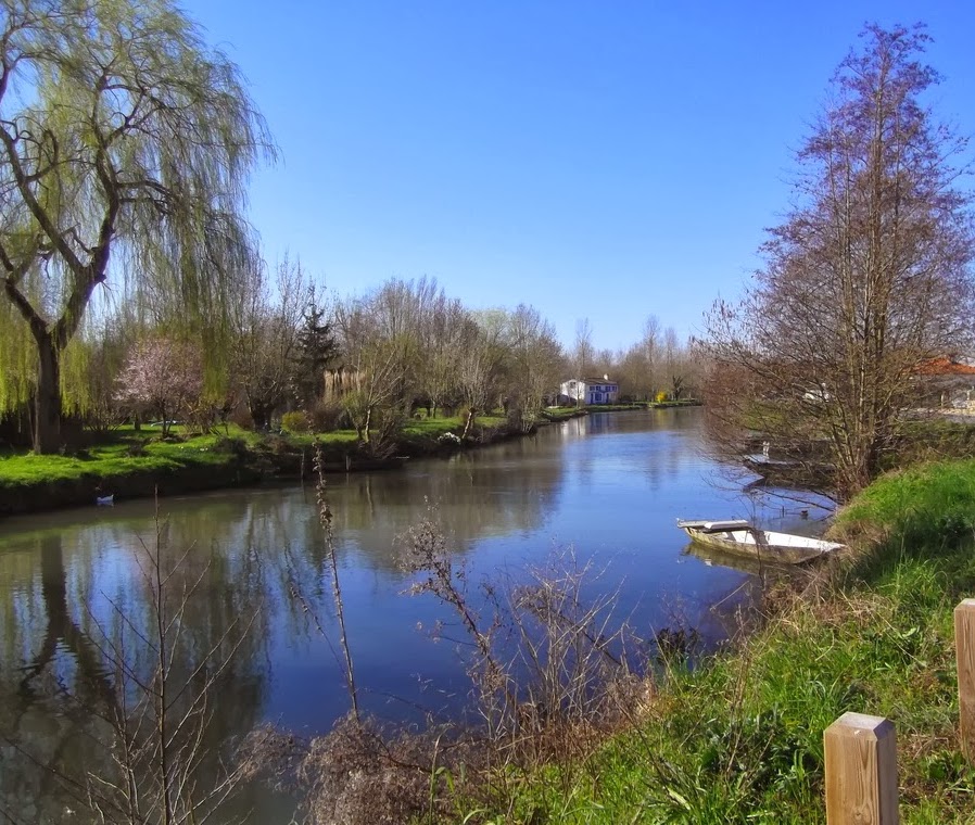
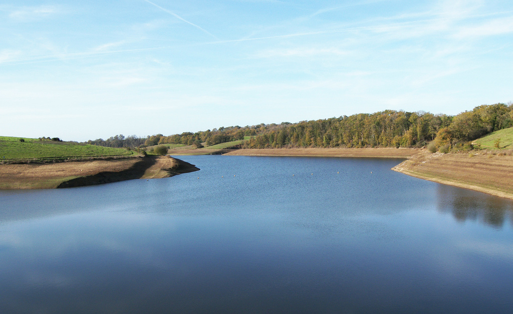
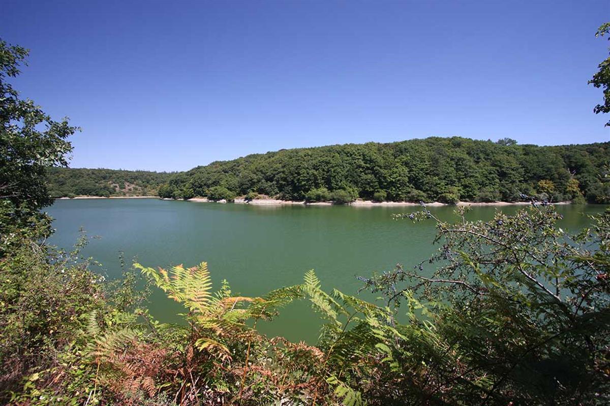
Popular hike near Pissotte, in the heart of the Mervent forest. The path makes a loop alternating between forest and edges of the Vendée river, thus offering pretty points of view in a soothing environment.

Already more than 200,000 users!
Uphill
191m
Highest point
108m
Downhill
191m
Lowest point
21m
Route type
Loop
Download the map on your smartphone to save battery and rest assured to always keep access to the route, even without signal.
Includes IGN France and Swisstopo.
I indicate whether dogs are allowed or prohibited on this trail
All year
2 ratings
Also enjoy:

Already more than 200,000 users!