Uphill
464m
Length
18km
Duration
5h30min
Elev gain
464m
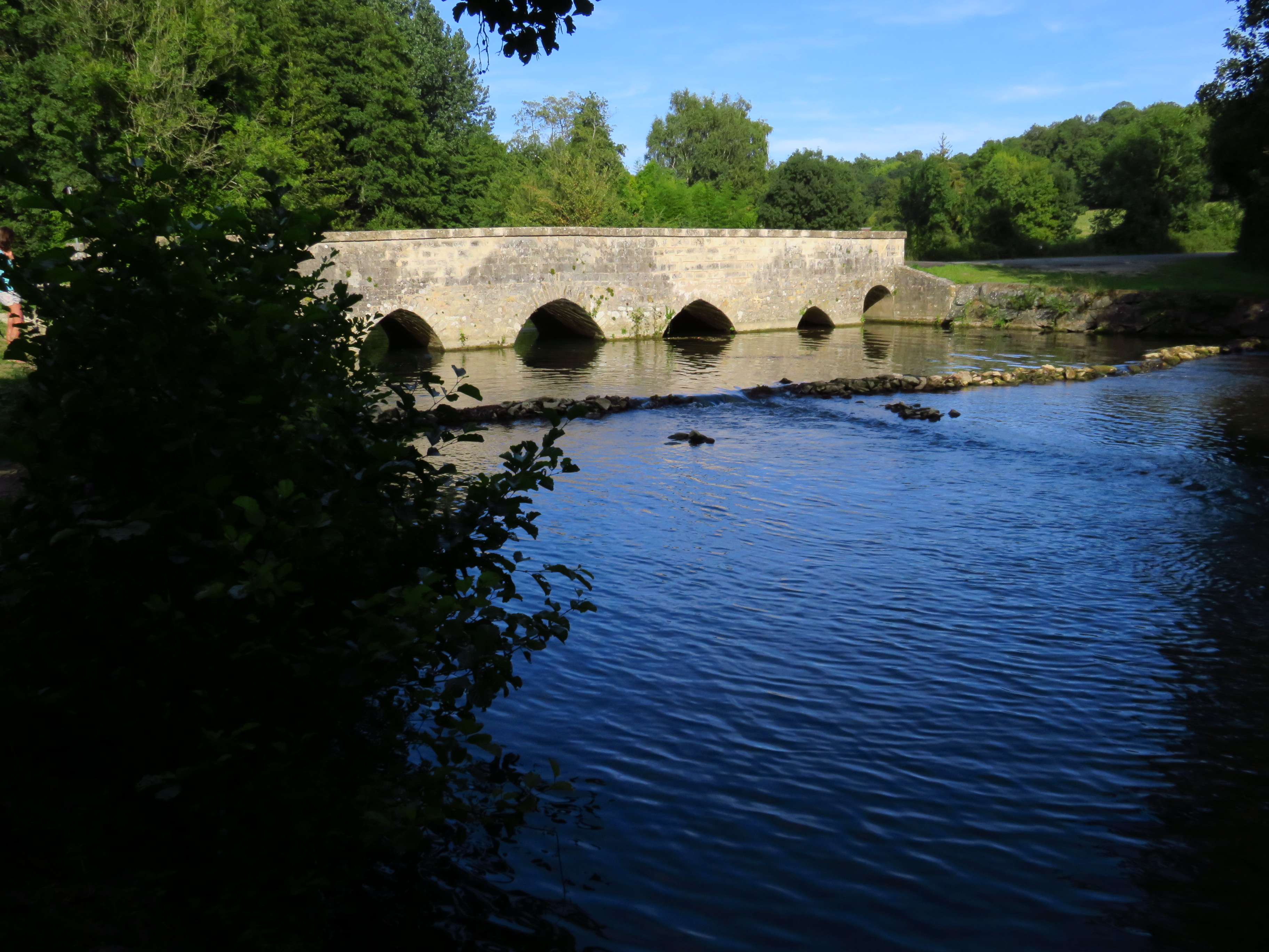
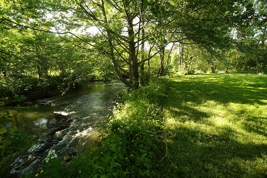
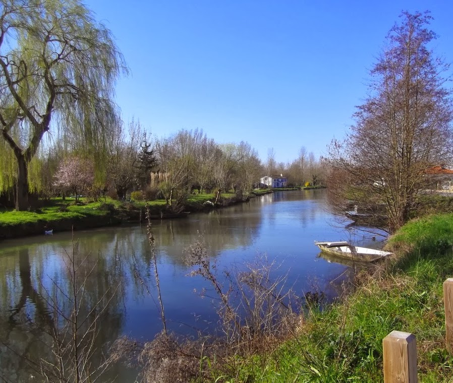
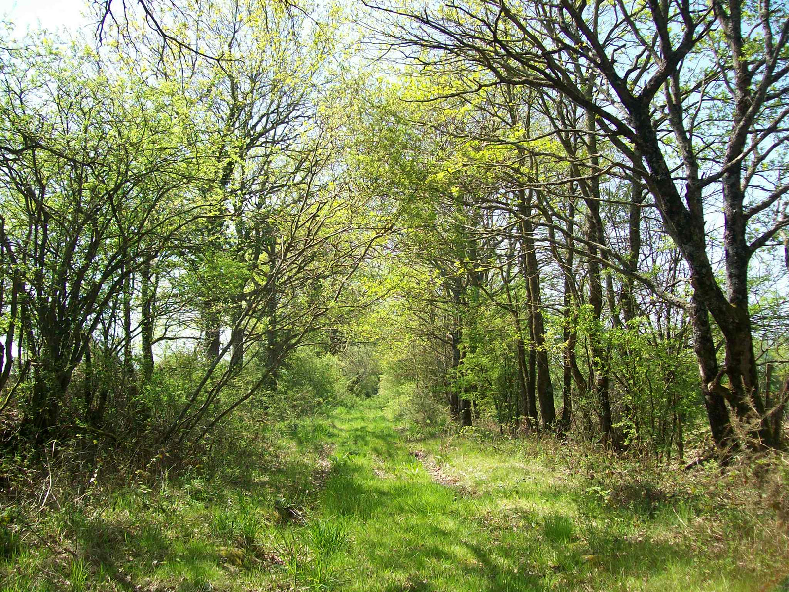
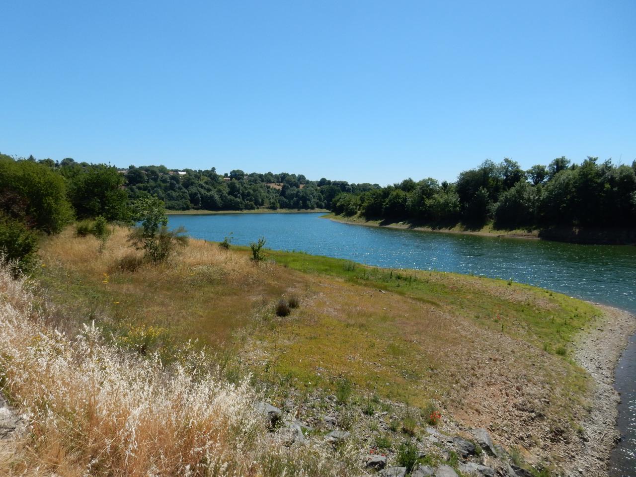
Starting from the Touche Poupard dam, this hike goes around the lake of the same name. Long and sporty, this hike alternates between undergrowth, fields, and passages as close as possible to the water.

Already more than 200,000 users!
Uphill
464m
Highest point
195m
Downhill
464m
Lowest point
113m
Route type
Loop
Download the map on your smartphone to save battery and rest assured to always keep access to the route, even without signal.
Includes IGN France and Swisstopo.
I indicate whether dogs are allowed or prohibited on this trail
All year
0 ratings
Also enjoy:

Already more than 200,000 users!