Uphill
47m
Length
7km
Duration
2h
Elev gain
47m
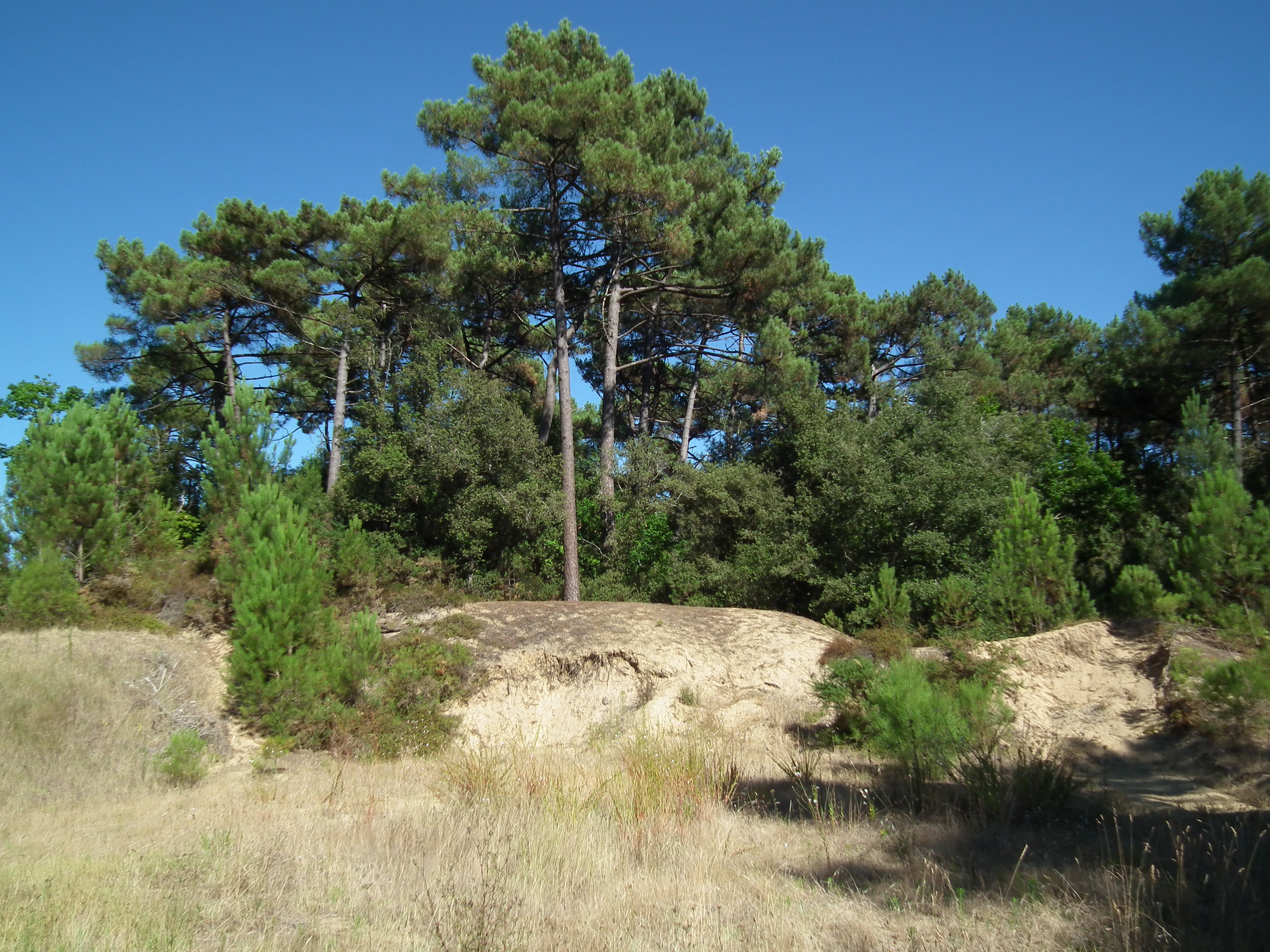
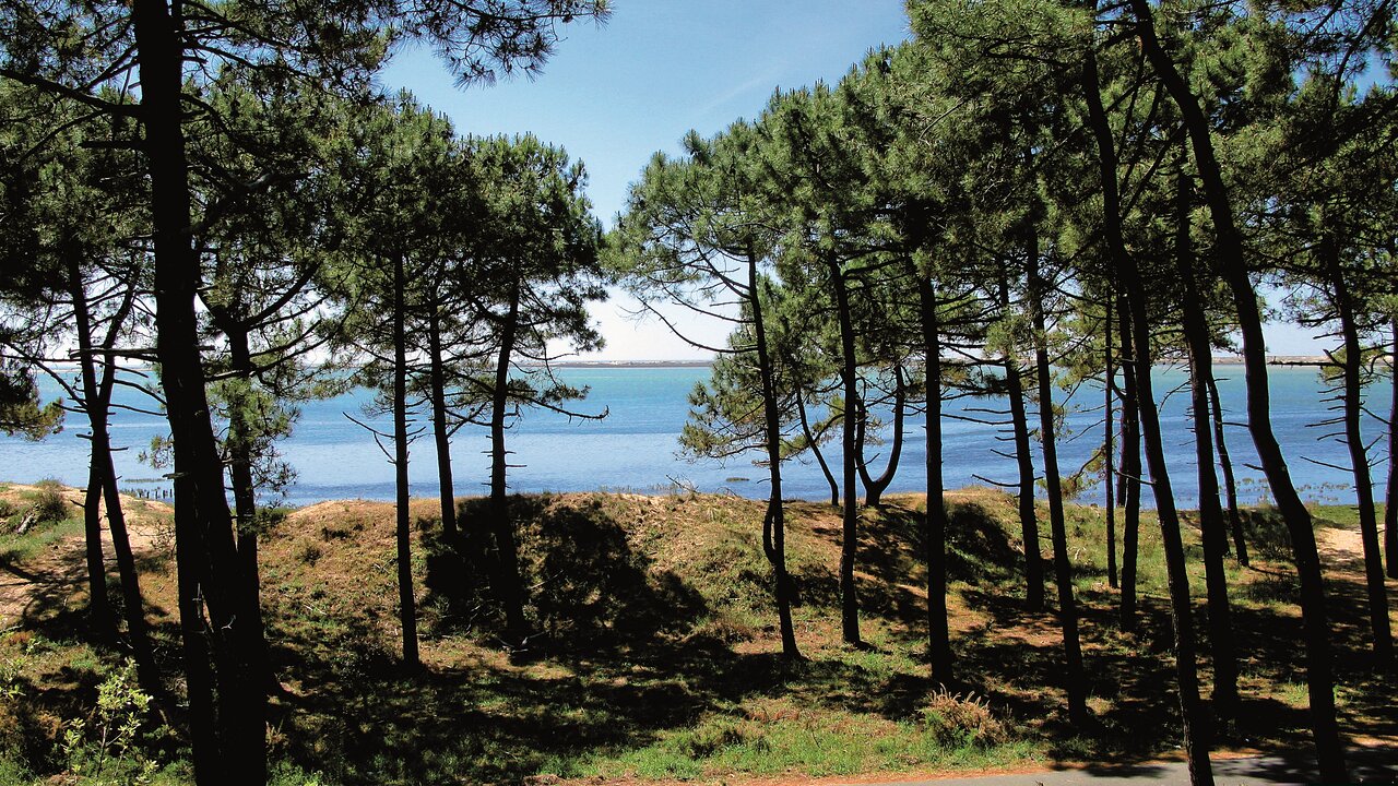
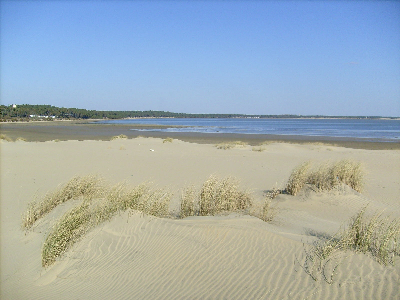
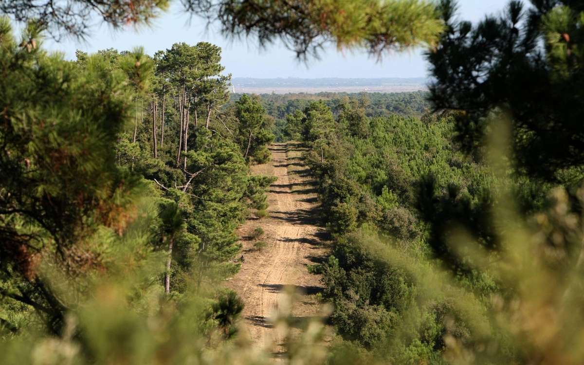
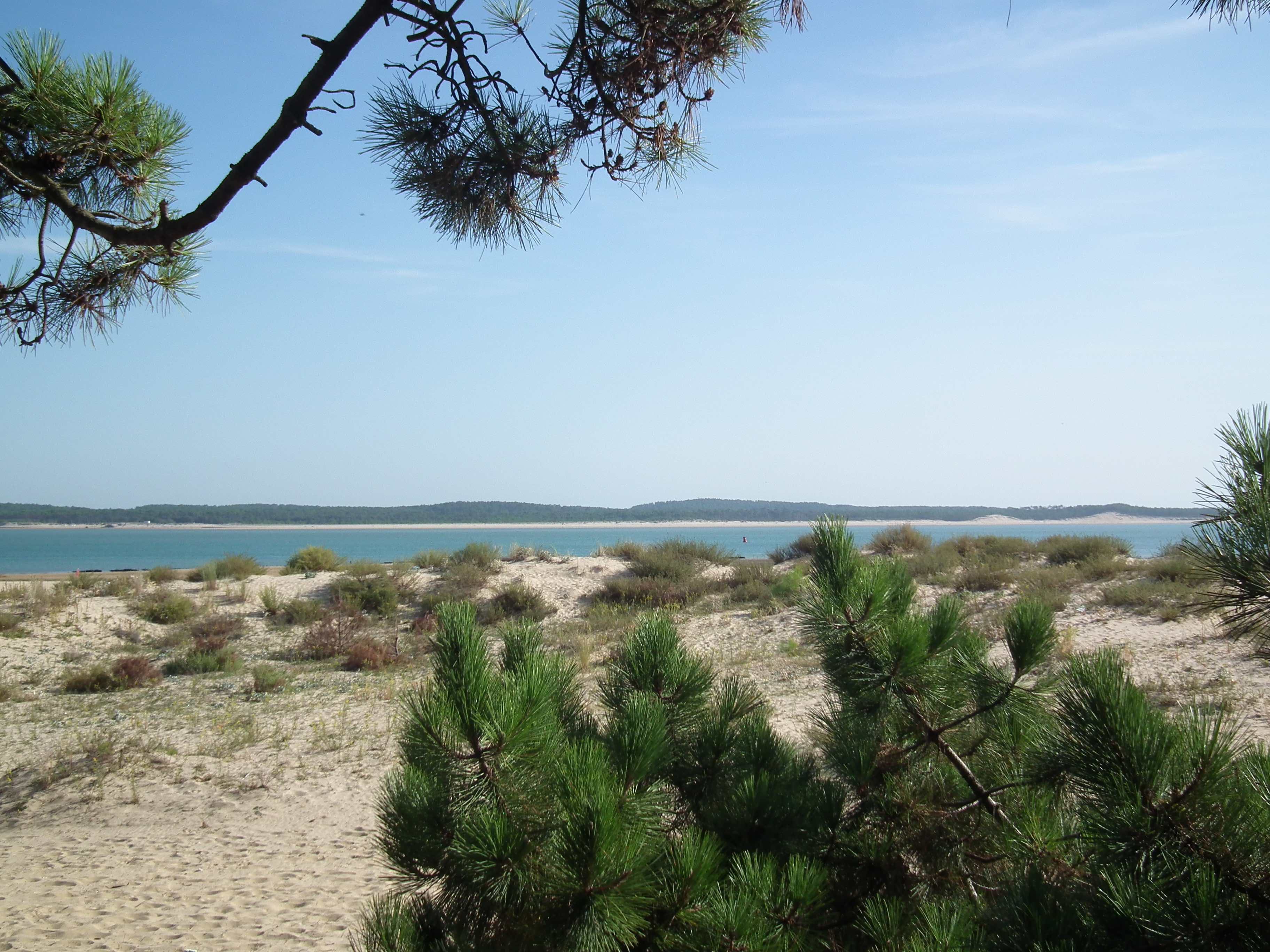
This route begins with Fort Suzac, which served to defend the Gironde estuary from the 17th century until the end of the Second World War. The trail then follows the cliffs bordered by holm oaks to the beach of Saint-Georges-de-Didonne, with the famous Cordouan lighthouse in the background.

Already more than 200,000 users!
Uphill
47m
Highest point
32m
Downhill
47m
Lowest point
0m
Route type
Loop
Download the map on your smartphone to save battery and rest assured to always keep access to the route, even without signal.
Includes IGN France and Swisstopo.
I indicate whether dogs are allowed or prohibited on this trail
All year
1 rating
Also enjoy:

Already more than 200,000 users!