Uphill
8m
Length
14km
Duration
3h30min
Elev gain
8m
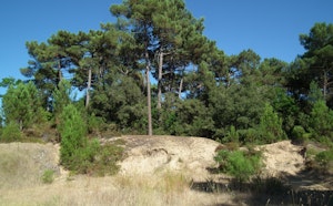
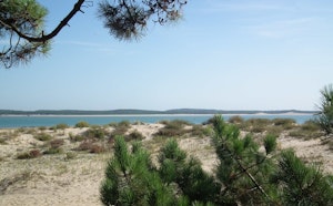
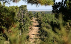
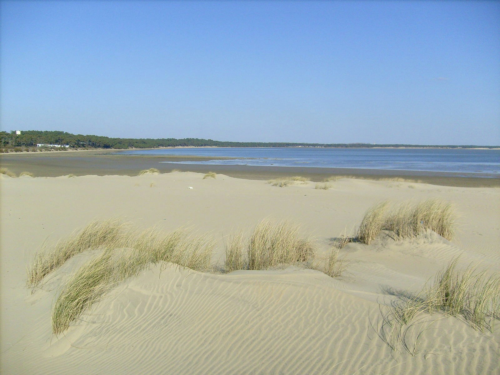
Starting from the Coubre lighthouse, this walk crosses the point of the same name, between the Atlantic Ocean and the bay of Bonne Anse. A good breath of sea air.
Note that the end of the route is only accessible at low tide.

Already more than 200,000 users!
Uphill
8m
Highest point
14m
Downhill
8m
Lowest point
0m
Route type
Loop
Download the map on your smartphone to save battery and rest assured to always keep access to the route, even without signal.
Includes IGN France and Swisstopo.
I indicate whether dogs are allowed or prohibited on this trail
All year
1 rating
Also enjoy:

Already more than 200,000 users!