Uphill
33m
Length
10km
Duration
2h30min
Elev gain
33m
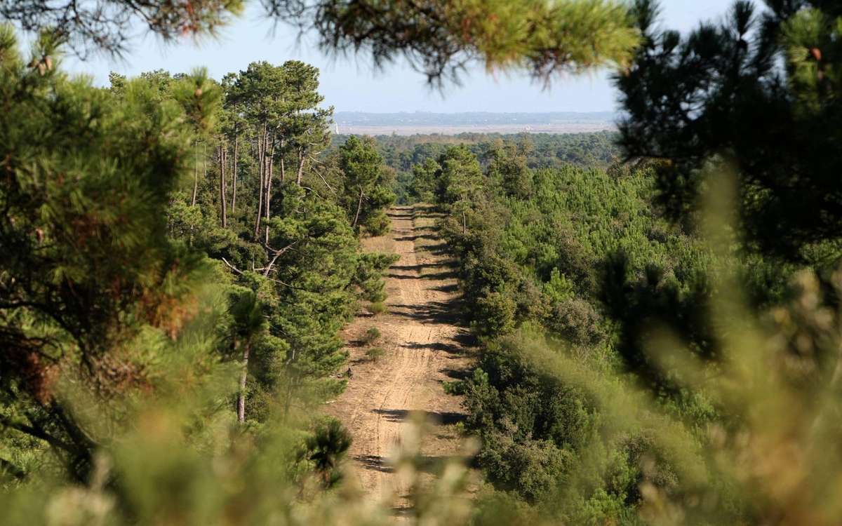
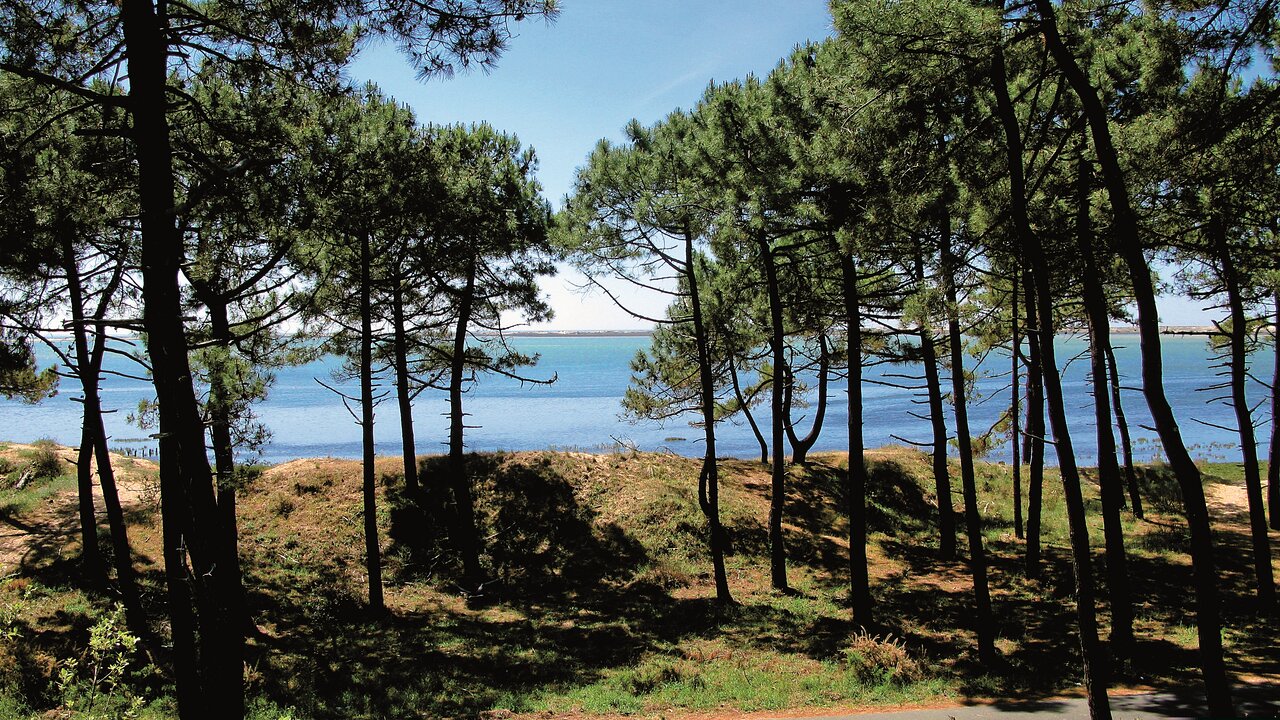
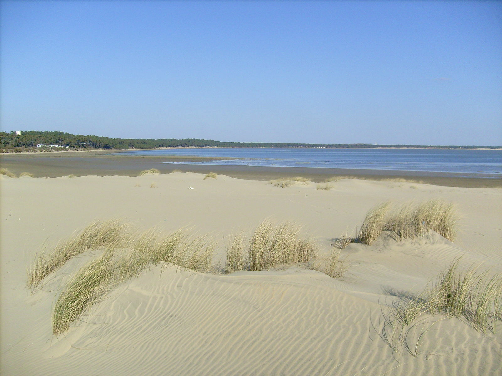
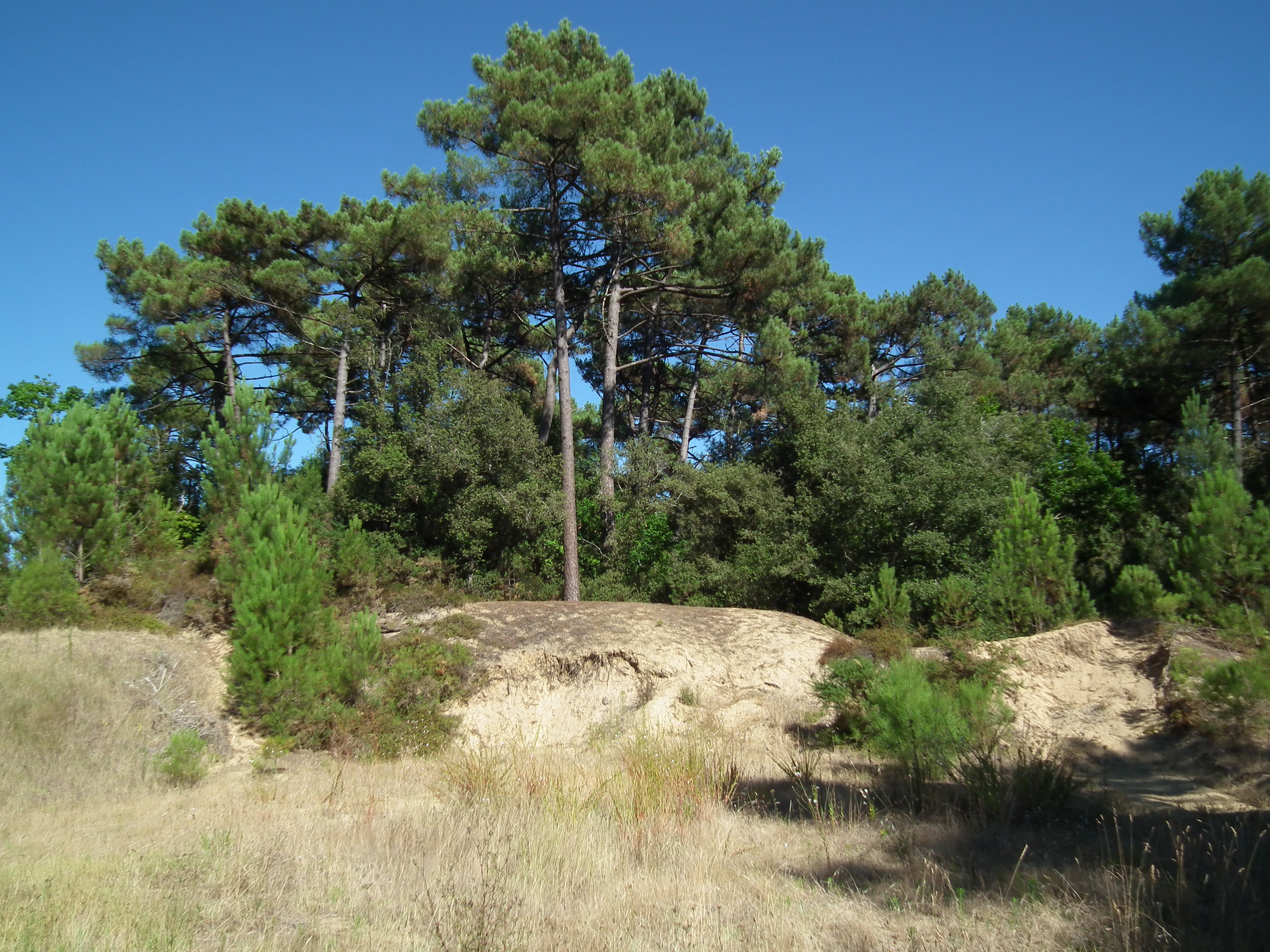
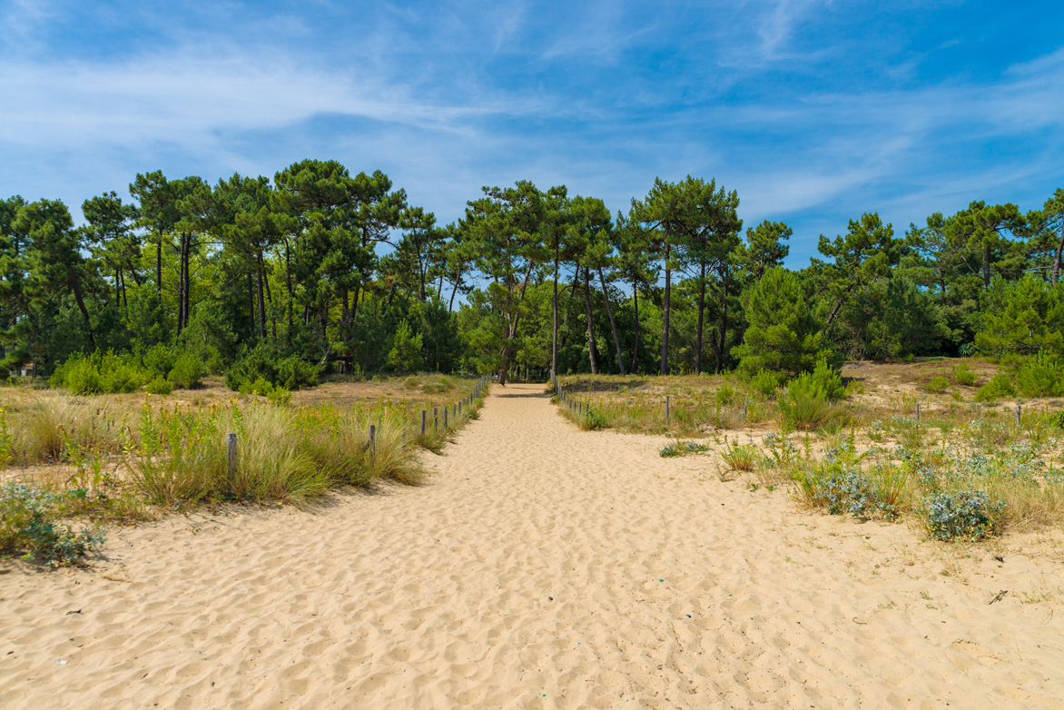
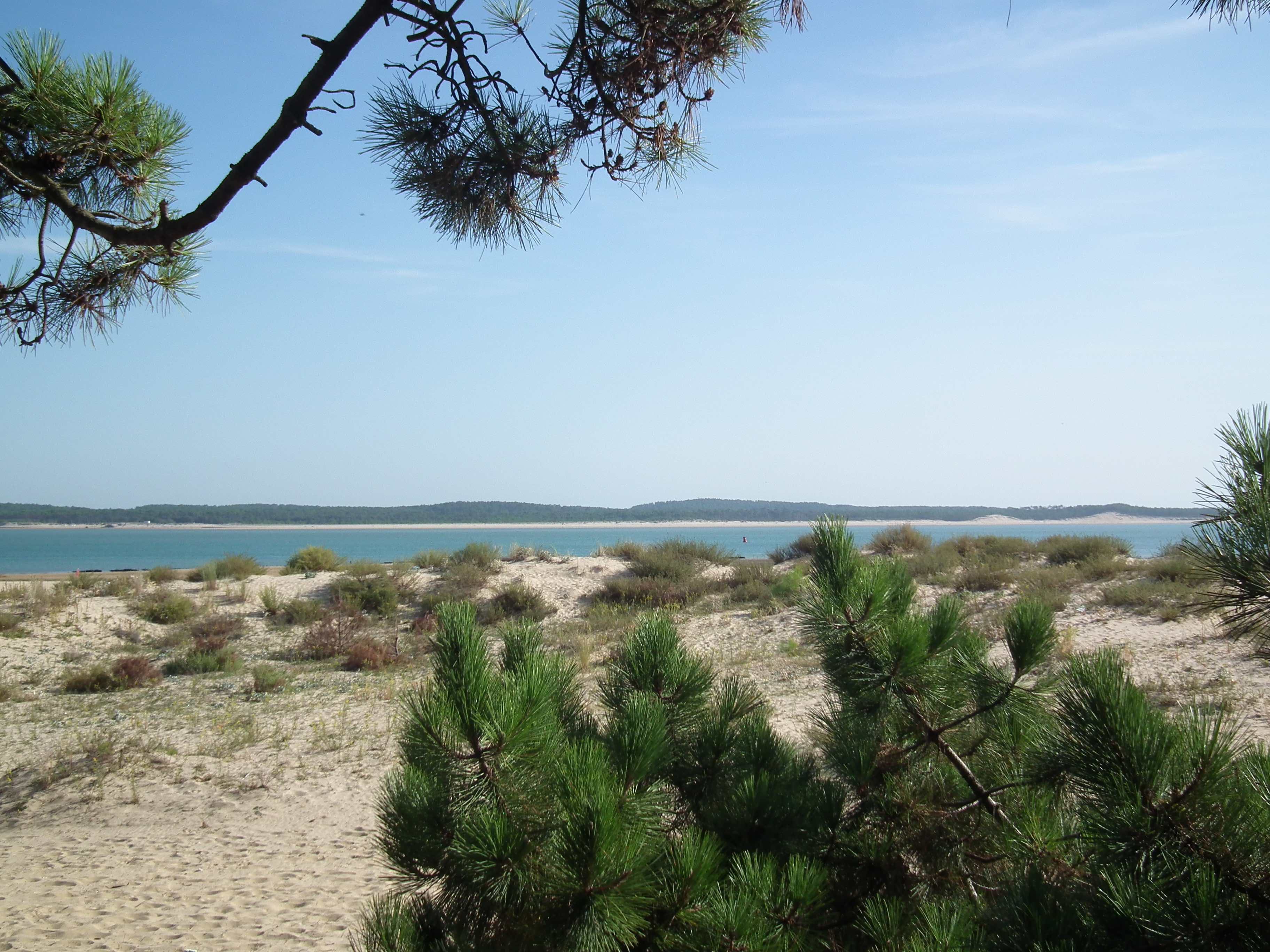
Loop between forest and ocean, allowing you to discover the southern end of the island of Oléron. To do preferably at low tide to walk on hard sand, half the circuit being on the beach.

Already more than 200,000 users!
Uphill
33m
Highest point
21m
Downhill
33m
Lowest point
0m
Route type
Loop
Download the map on your smartphone to save battery and rest assured to always keep access to the route, even without signal.
Includes IGN France and Swisstopo.
I indicate whether dogs are allowed or prohibited on this trail
All year
3 ratings
Also enjoy:

Already more than 200,000 users!