Uphill
13m
Length
13km
Duration
3h30min
Elev gain
13m
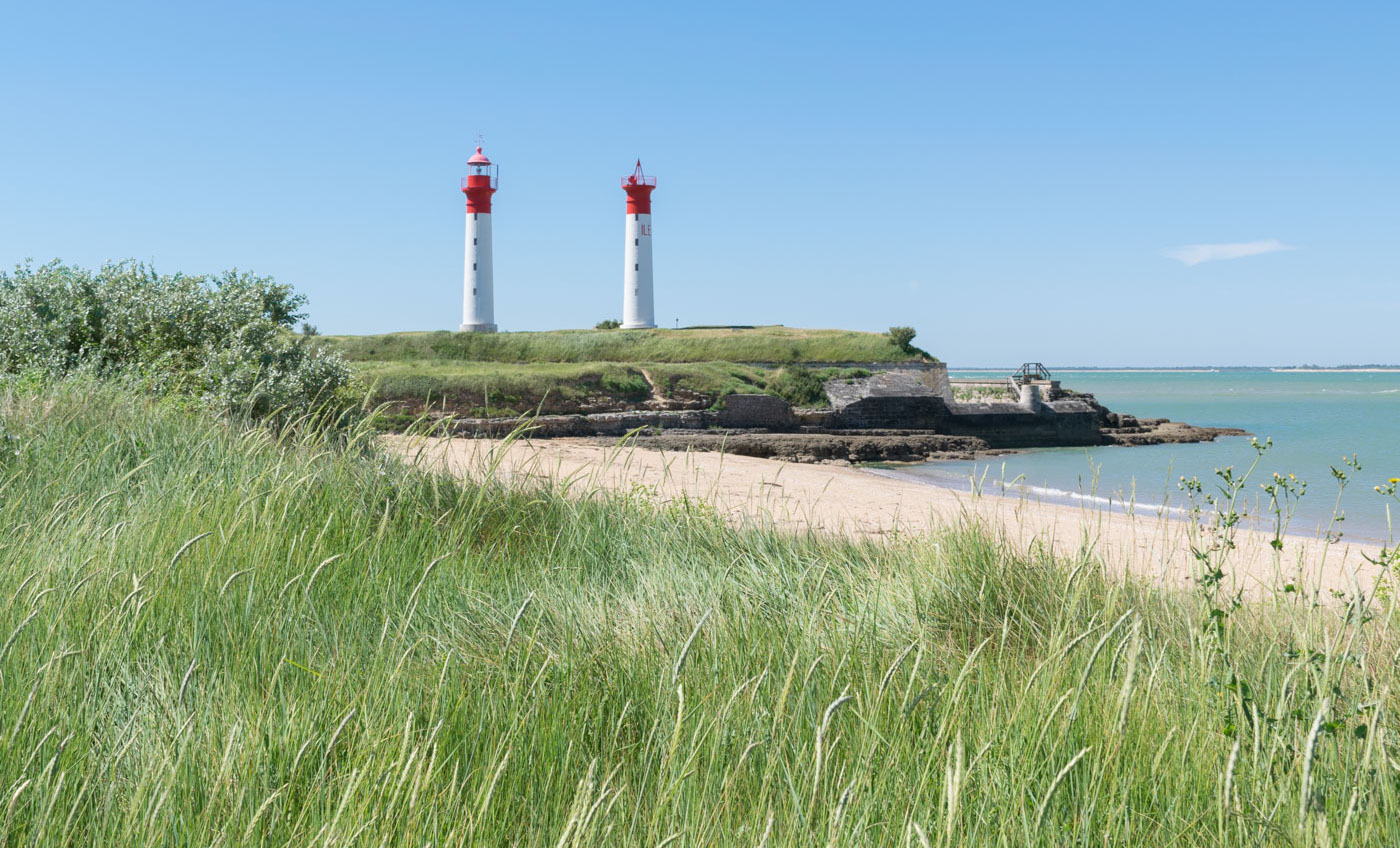
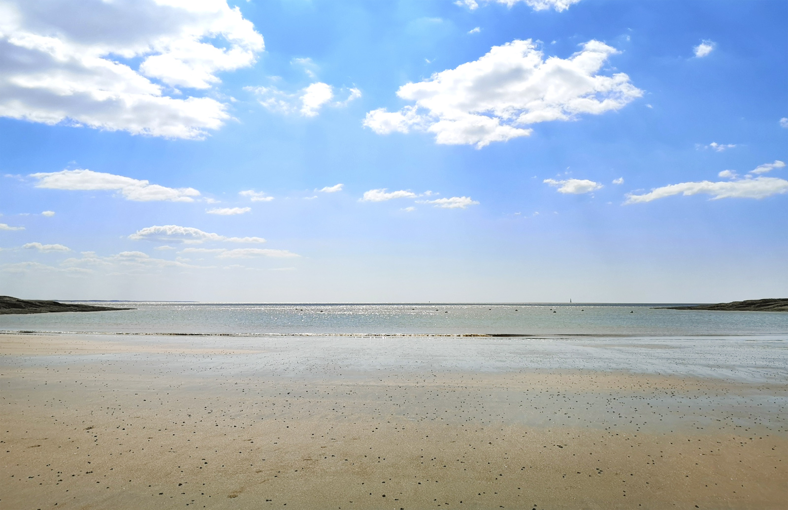
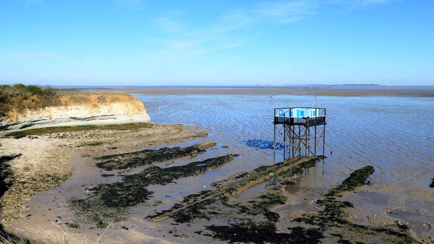
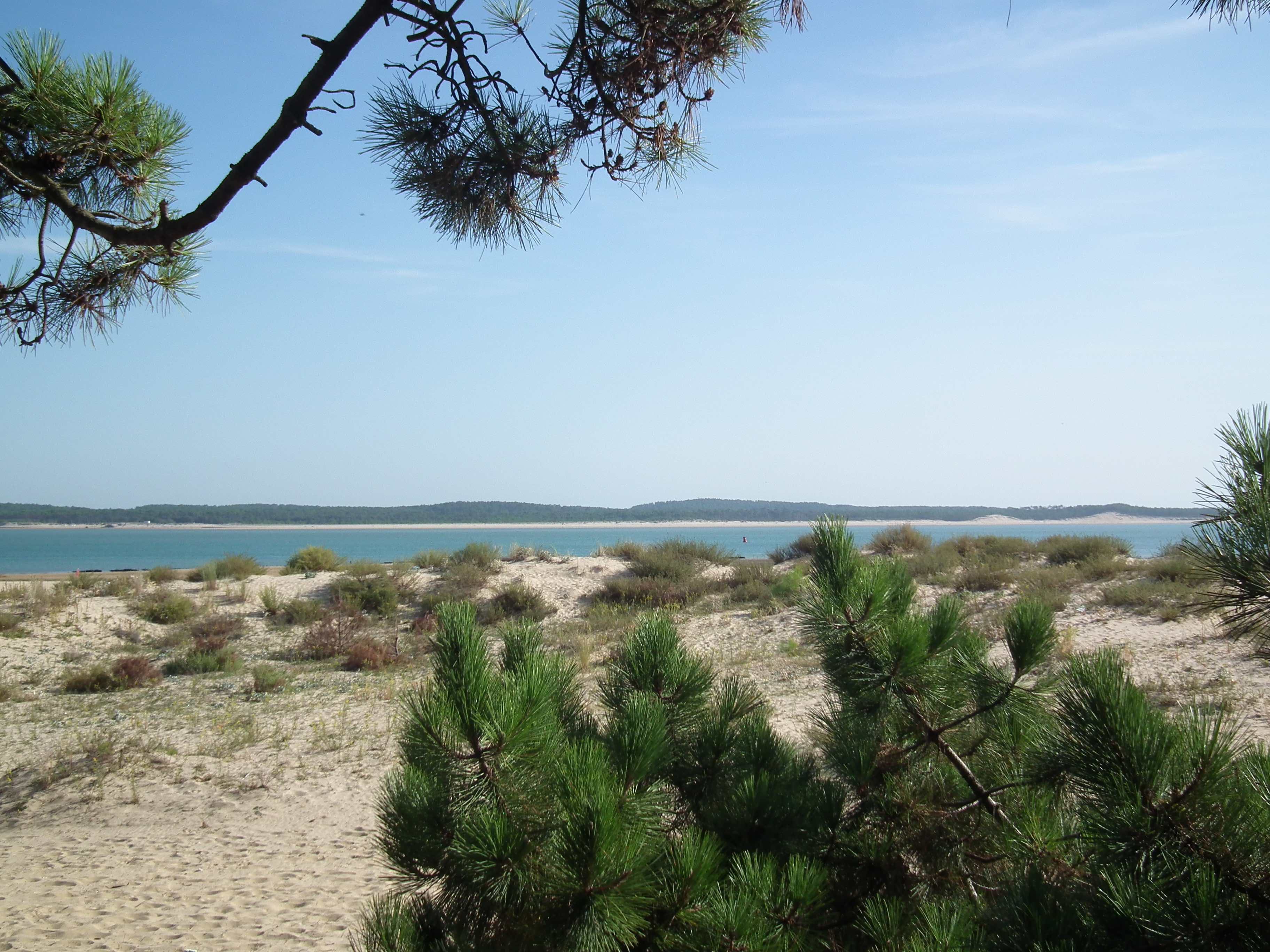
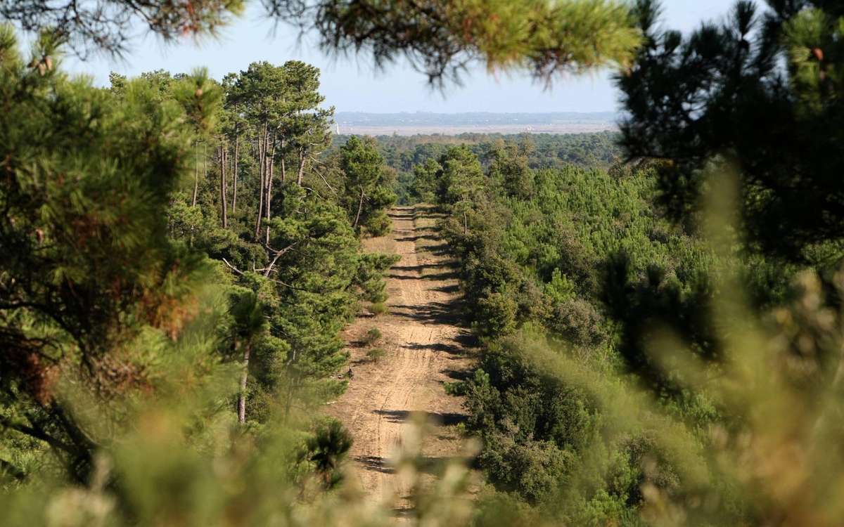
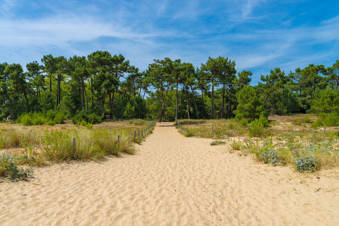
Walk in a pine forest, located between the marshes and the sea. A detour to the beach is easy for a view of Fort Boyard.

Already more than 200,000 users!
Uphill
13m
Highest point
18m
Downhill
13m
Lowest point
1m
Route type
Loop
Download the map on your smartphone to save battery and rest assured to always keep access to the route, even without signal.
Includes IGN France and Swisstopo.
I indicate whether dogs are allowed or prohibited on this trail
All year
1 rating
Also enjoy:

Already more than 200,000 users!