Uphill
32m
Length
9km
Duration
2h
Elev gain
32m
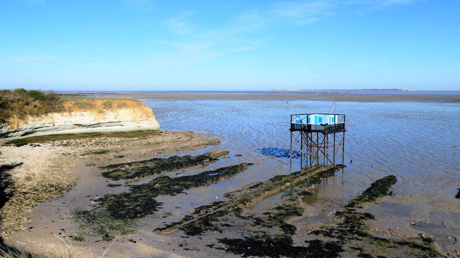
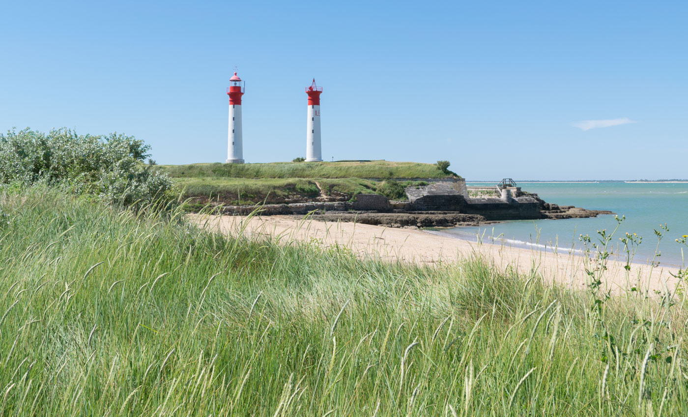
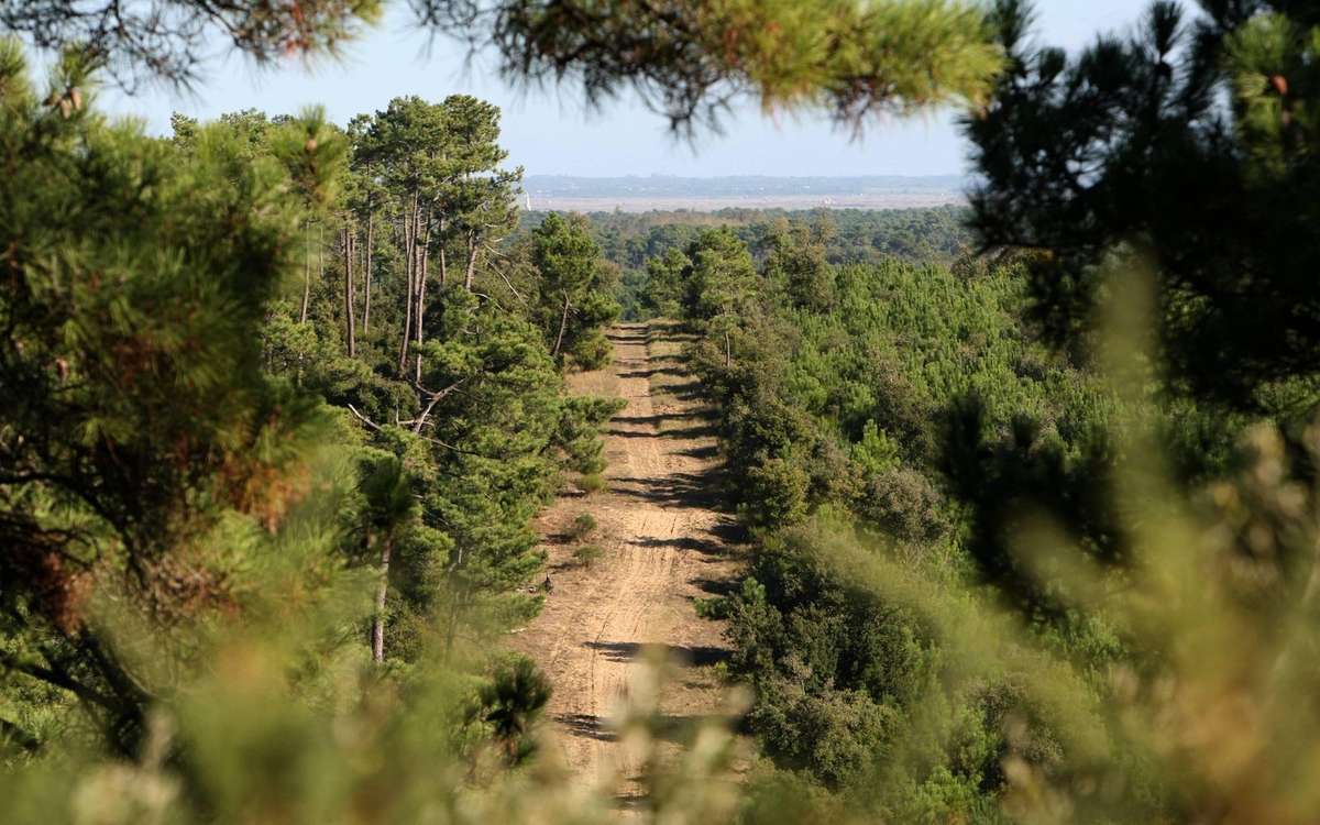
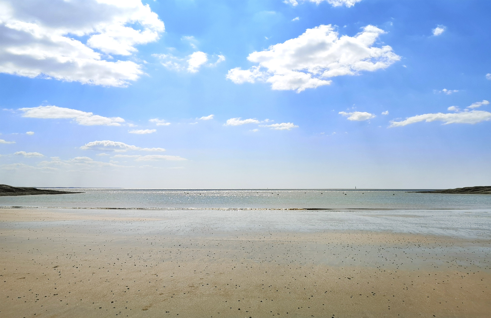
Pleasant walk that allows you to discover the Charente estuary. Leaving from Fort de Fouras, the path runs along the coast, crosses a marsh, and reaches Fort de La Pointe.
Note, however, that the walk is mainly on the road.

Already more than 200,000 users!
Uphill
32m
Highest point
22m
Downhill
32m
Lowest point
6m
Route type
Loop
Download the map on your smartphone to save battery and rest assured to always keep access to the route, even without signal.
Includes IGN France and Swisstopo.
I indicate whether dogs are allowed or prohibited on this trail
All year
0 ratings
Also enjoy:

Already more than 200,000 users!