Uphill
19m
Length
6km
Duration
1h30min
Elev gain
19m
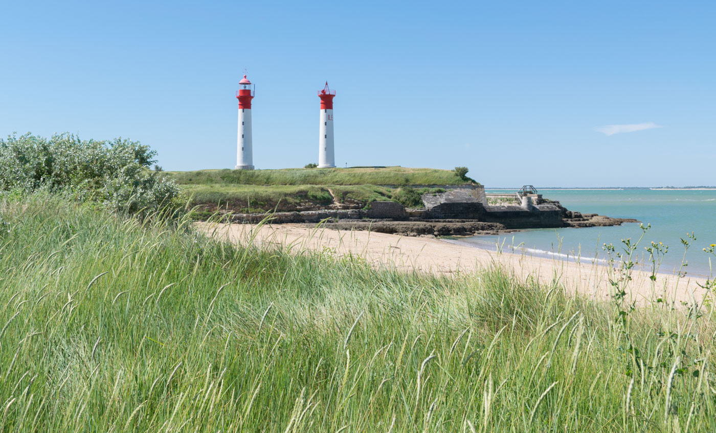
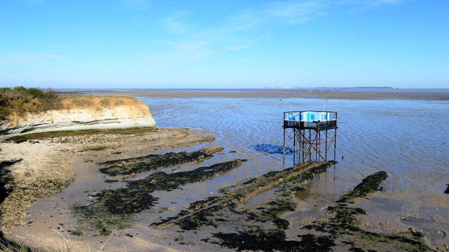
Walk first taking the Passe aux Boeufs, a submersible causeway that requires information on the tide times.
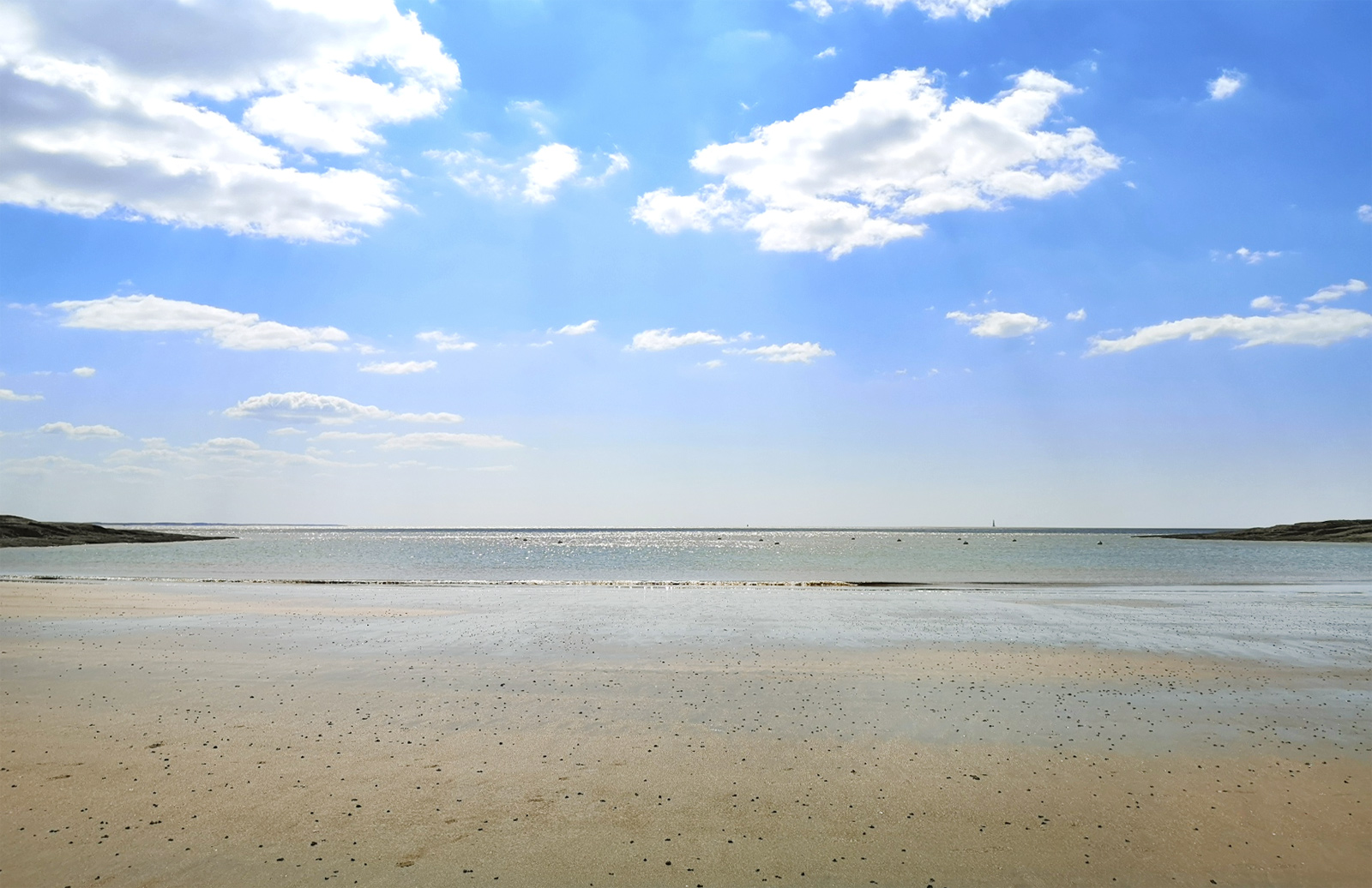
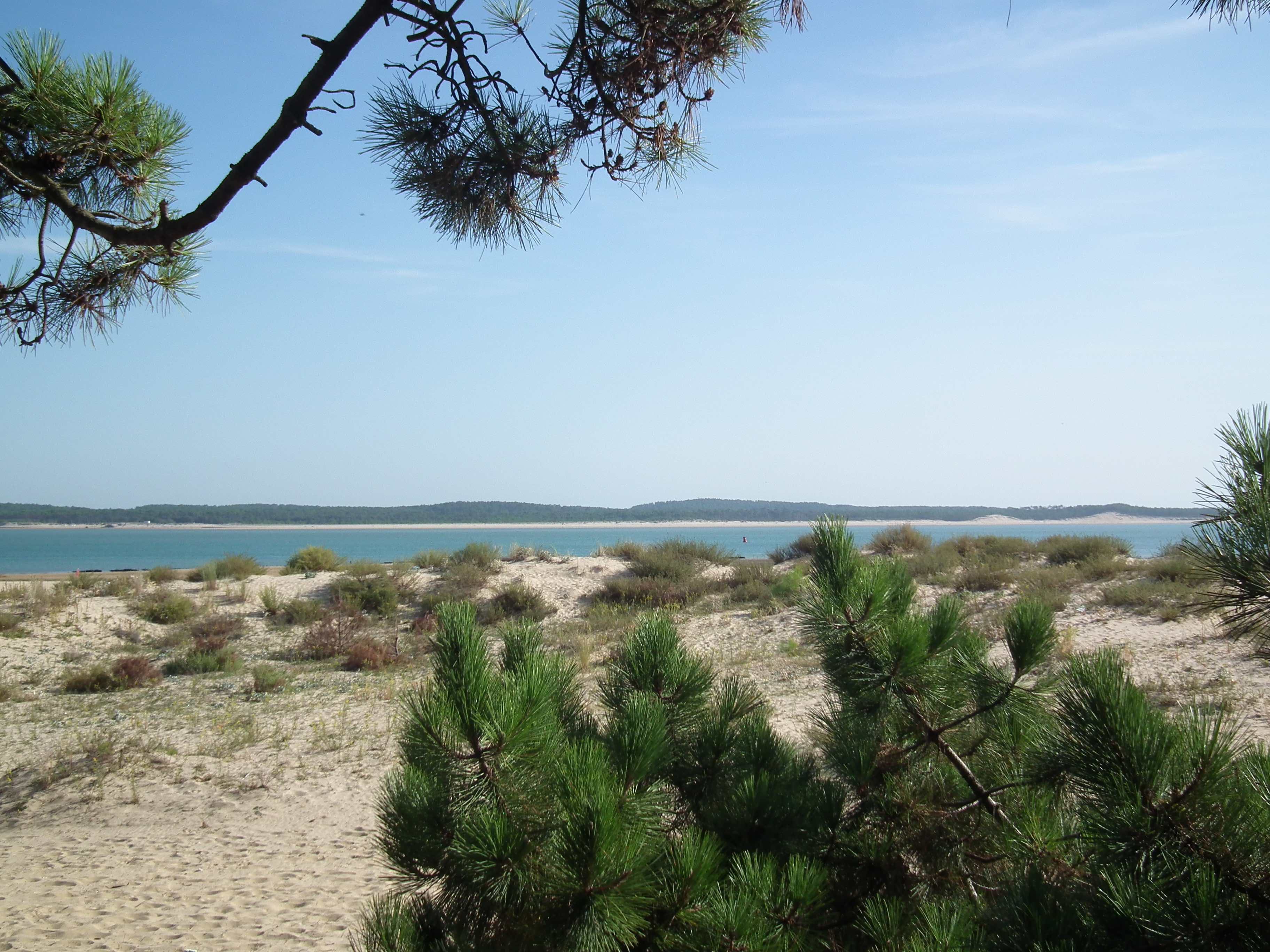
The trail then goes around Île Madame, a preserved area offering beautiful panoramas of the sea and the Charente estuary.

Already more than 200,000 users!
Uphill
19m
Highest point
17m
Downhill
19m
Lowest point
4m
Route type
There and back
Download the map on your smartphone to save battery and rest assured to always keep access to the route, even without signal.
Includes IGN France and Swisstopo.
I indicate whether dogs are allowed or prohibited on this trail
All year
1 rating
Also enjoy:

Already more than 200,000 users!