Uphill
2206m
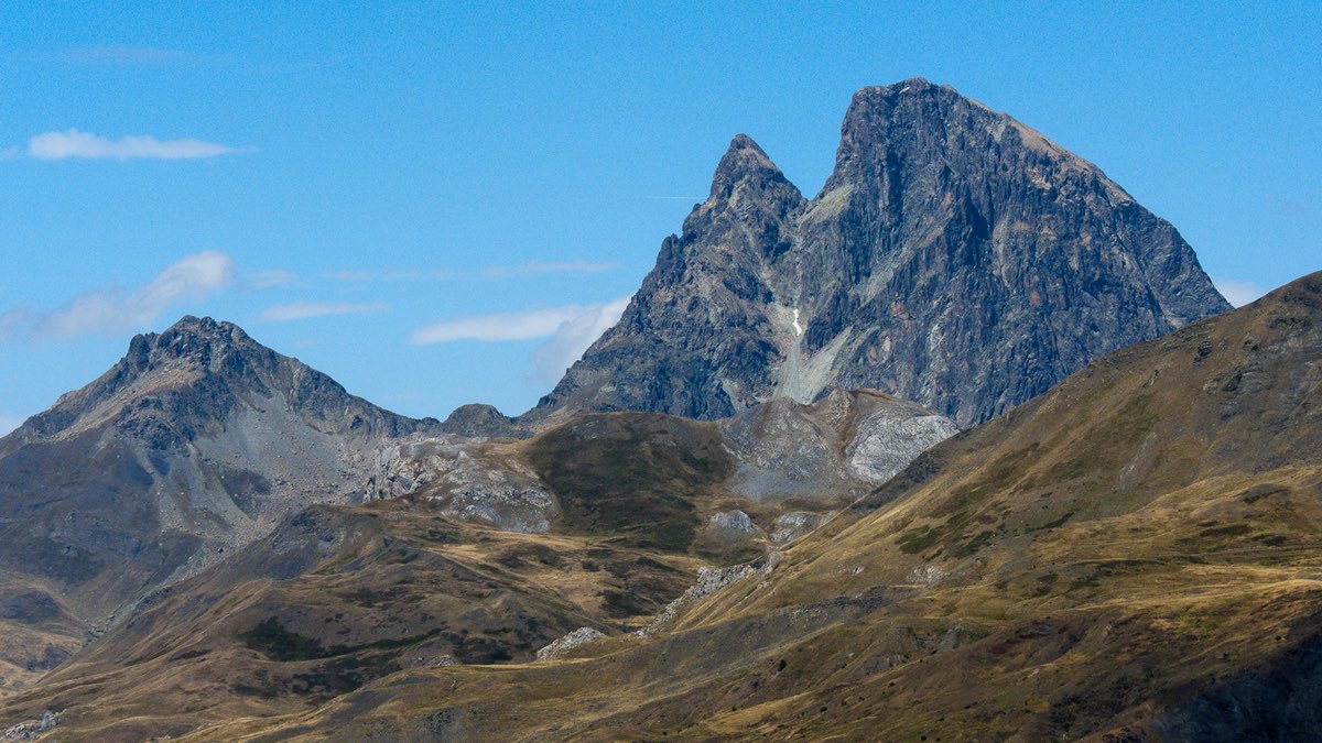
France > Nouvelle-Aquitaine > Pyrénées-Atlantiques > Pyrénées National Park
Length
27km
Duration
15h
Elev gain
2206m
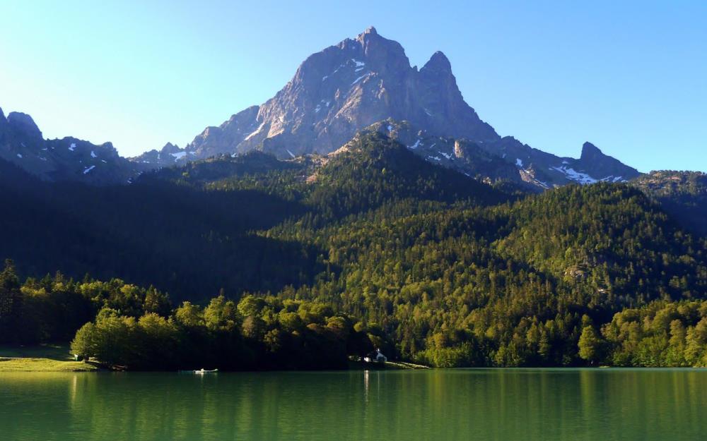
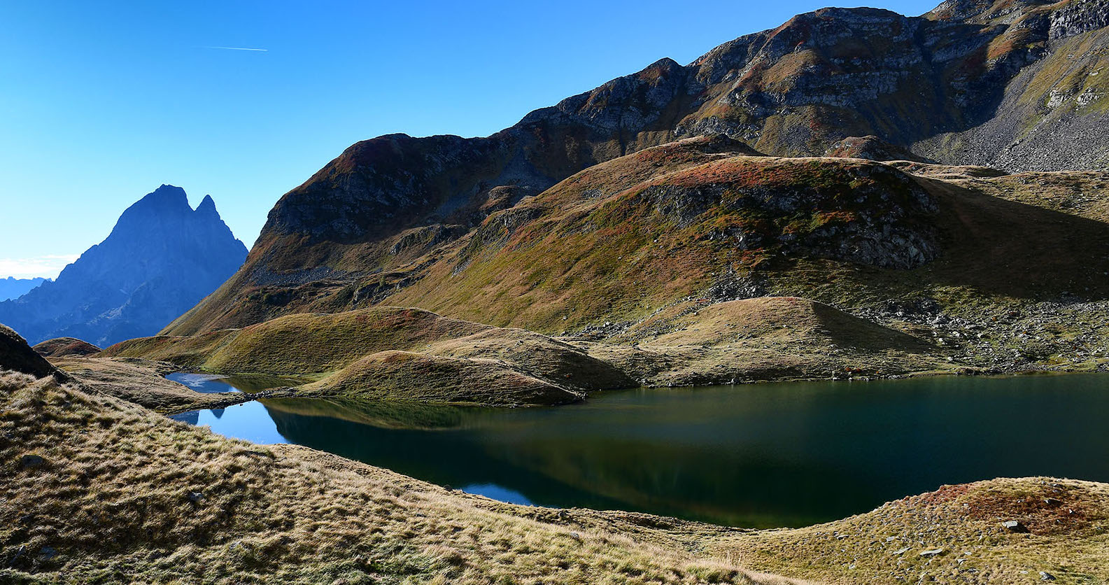
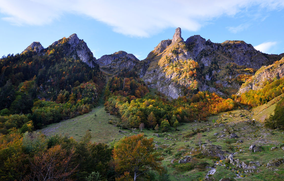
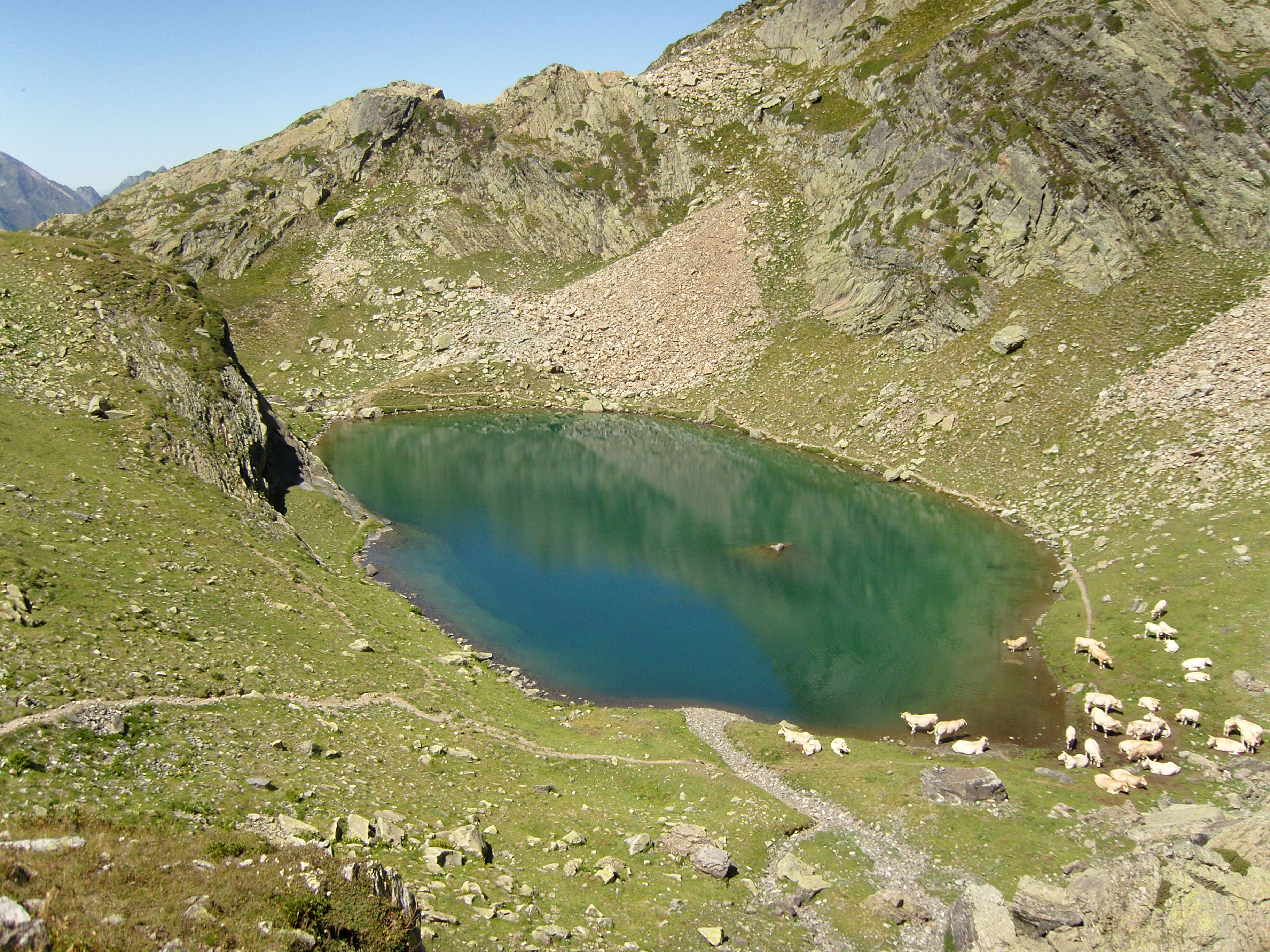
Superb loop that can be done over two days, as there are several shelters along the way. This trail includes the Lakes of Ayous as well as the ascent of the Pic du Midi d'Ossau.

Already more than 200,000 users!
Uphill
2206m
Highest point
2784m
Downhill
2206m
Lowest point
1414m
Route type
Loop
Download the map on your smartphone to save battery and rest assured to always keep access to the route, even without signal.
Includes IGN France and Swisstopo.
0 ratings
Also enjoy:

Already more than 200,000 users!