Uphill
325m
Length
10km
Duration
3h30min
Elev gain
325m
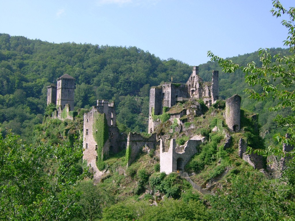
Superb hike mainly in the undergrowth, which leads to places steeped in history. Indeed, the route passes by two castles of the Middle Ages: the towers of Carbonnières as well as the towers of Merle.

Already more than 200,000 users!
Uphill
325m
Highest point
536m
Downhill
325m
Lowest point
257m
Route type
Loop
Download the map on your smartphone to save battery and rest assured to always keep access to the route, even without signal.
Includes IGN France and Swisstopo.
I indicate whether dogs are allowed or prohibited on this trail
All year
1 rating
Also enjoy:

Already more than 200,000 users!


