Uphill
58m
Length
4km
Duration
1h
Elev gain
58m
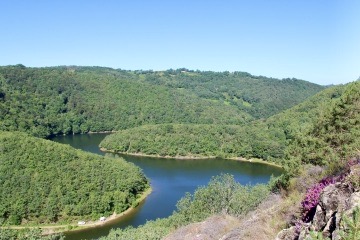
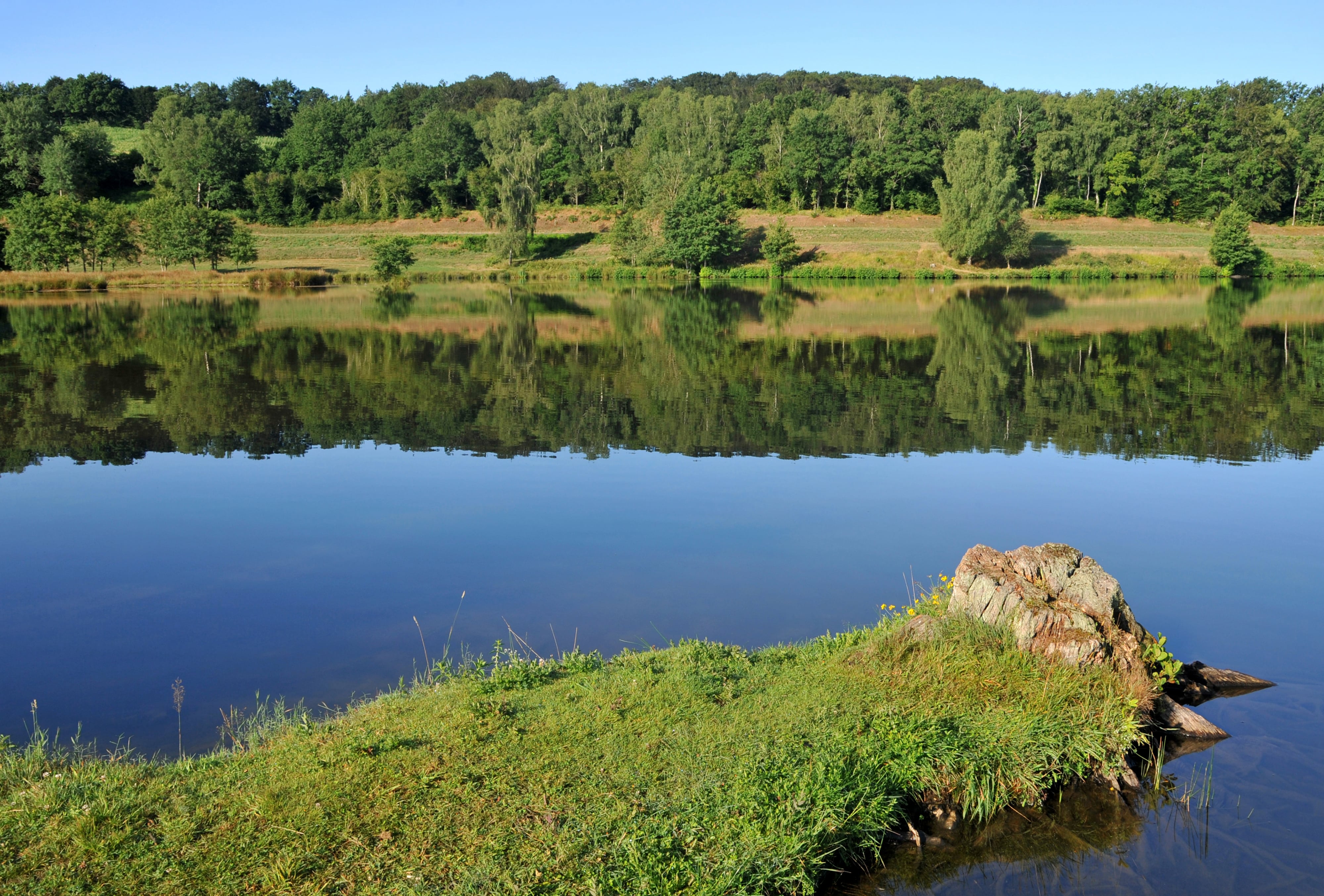
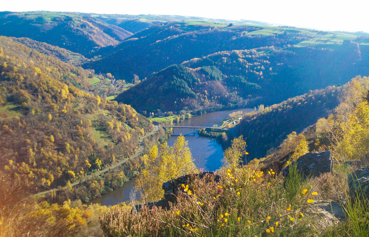
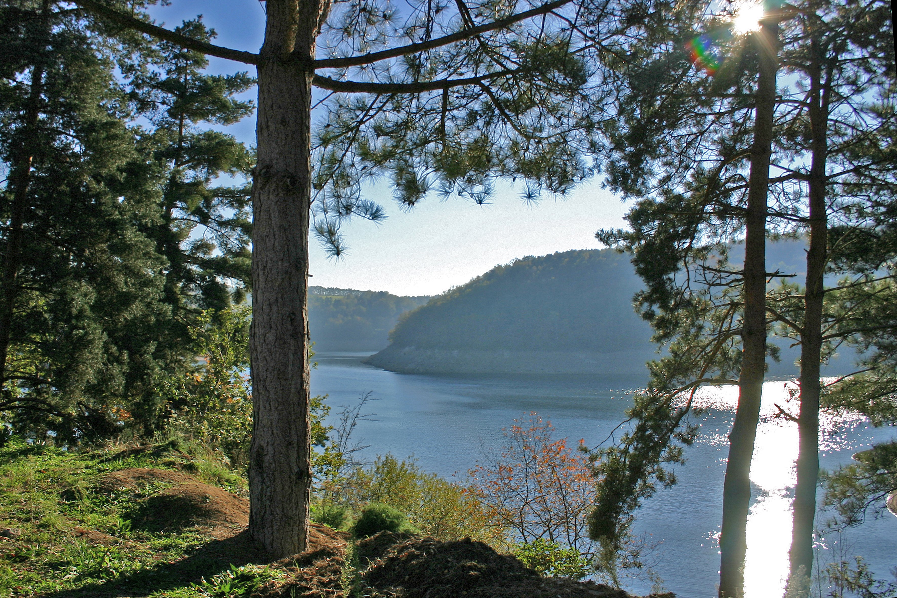
A pleasant short walk along the lake of Saint-Etienne-Cantalès, passing through the forest of Rénac. A family stroll by the water that will appeal to young and old alike.

Already more than 200,000 users!
Uphill
58m
Highest point
527m
Downhill
58m
Lowest point
500m
Route type
Loop
Download the map on your smartphone to save battery and rest assured to always keep access to the route, even without signal.
Includes IGN France and Swisstopo.
I indicate whether dogs are allowed or prohibited on this trail
All year
1 rating
Also enjoy:

Already more than 200,000 users!