Uphill
0m
Length
8km
Duration
2h
Elev gain
0m
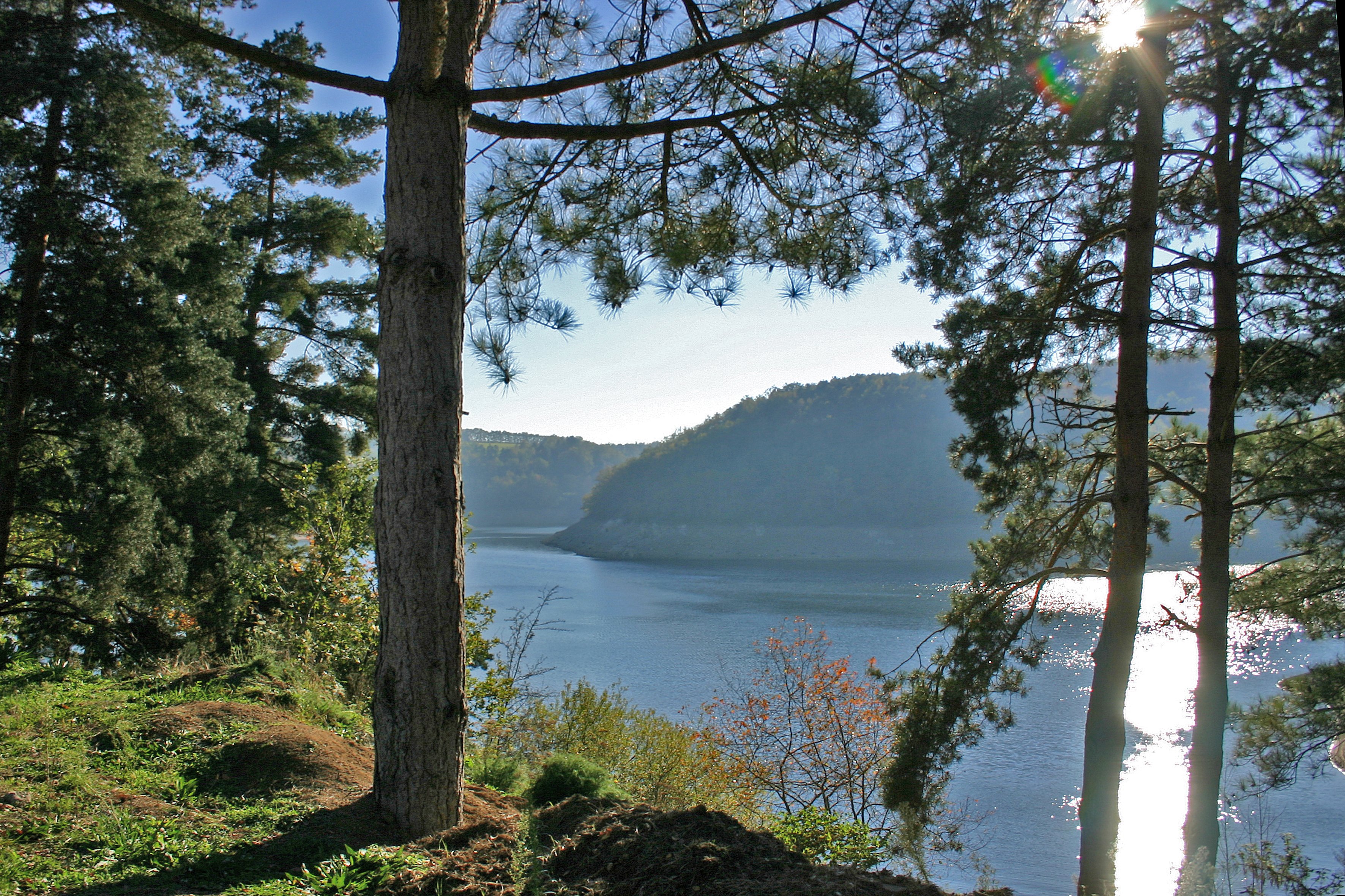
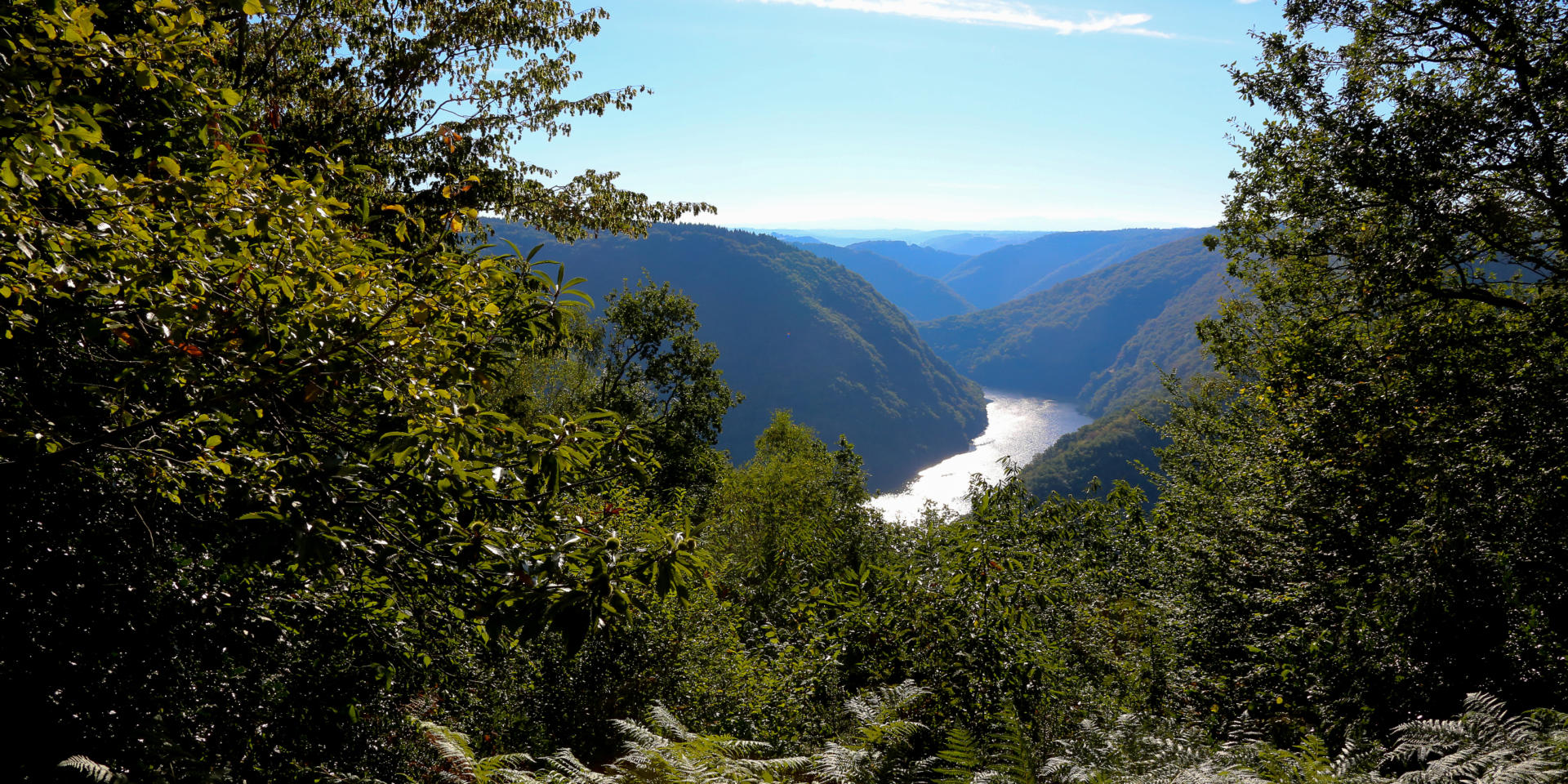
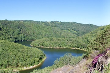
Shaded walk along two rivers, the Etze and the Bertrande, to the Rouffet rock which offers a nice viewpoint.

Already more than 200,000 users!
Uphill
0m
Highest point
65535m
Downhill
0m
Lowest point
65535m
Route type
Loop
Download the map on your smartphone to save battery and rest assured to always keep access to the route, even without signal.
Includes IGN France and Swisstopo.
I indicate whether dogs are allowed or prohibited on this trail
From June to September
0 ratings
Also enjoy:

Already more than 200,000 users!