Uphill
271m
Length
8km
Duration
3h
Elev gain
271m
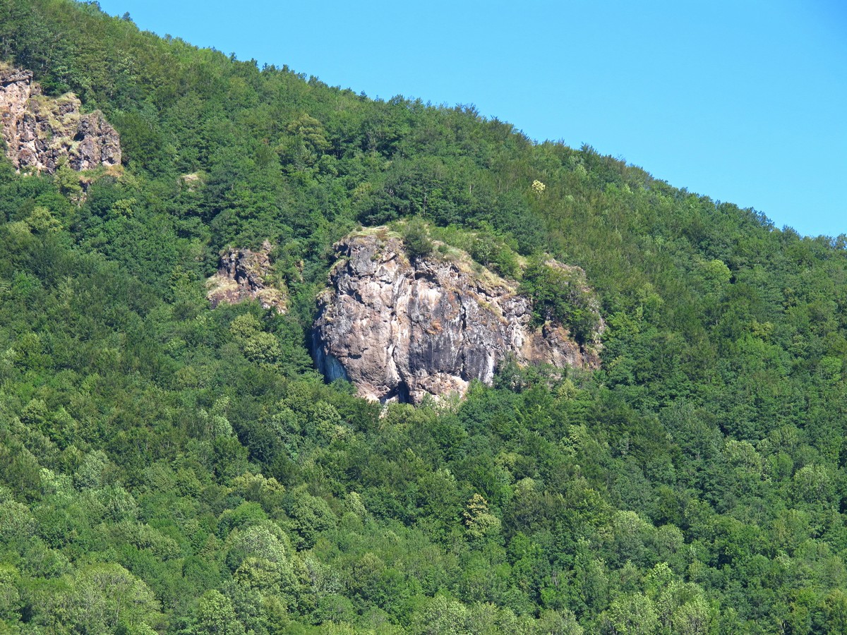
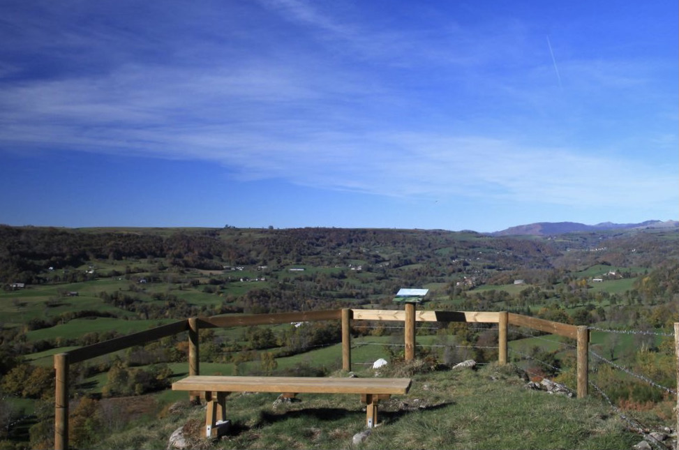
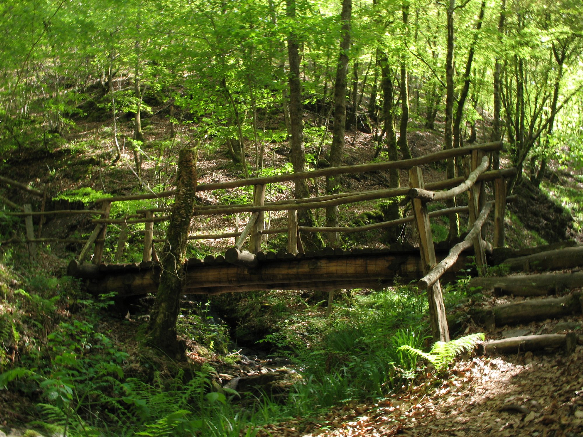
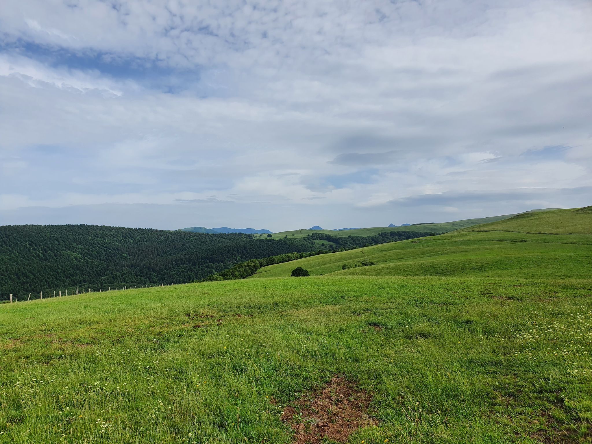
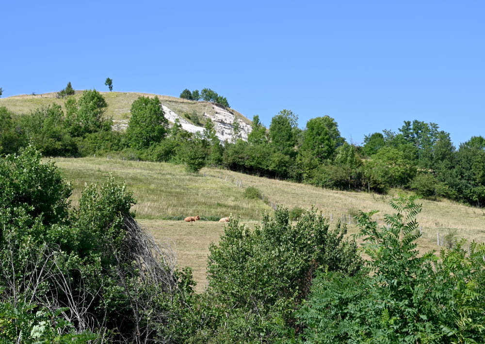
From Arpajon-sur-Cère, near the town of Aurillac, this short hike sets off to discover the Puy de Vaurs. Less known than its counterparts, the Puy de Vaurs offers typical landscapes of the Cantal mountains.

Already more than 200,000 users!
Uphill
271m
Highest point
763m
Downhill
271m
Lowest point
597m
Route type
Loop
Download the map on your smartphone to save battery and rest assured to always keep access to the route, even without signal.
Includes IGN France and Swisstopo.
I indicate whether dogs are allowed or prohibited on this trail
All year
0 ratings
Also enjoy:

Already more than 200,000 users!