Uphill
81m
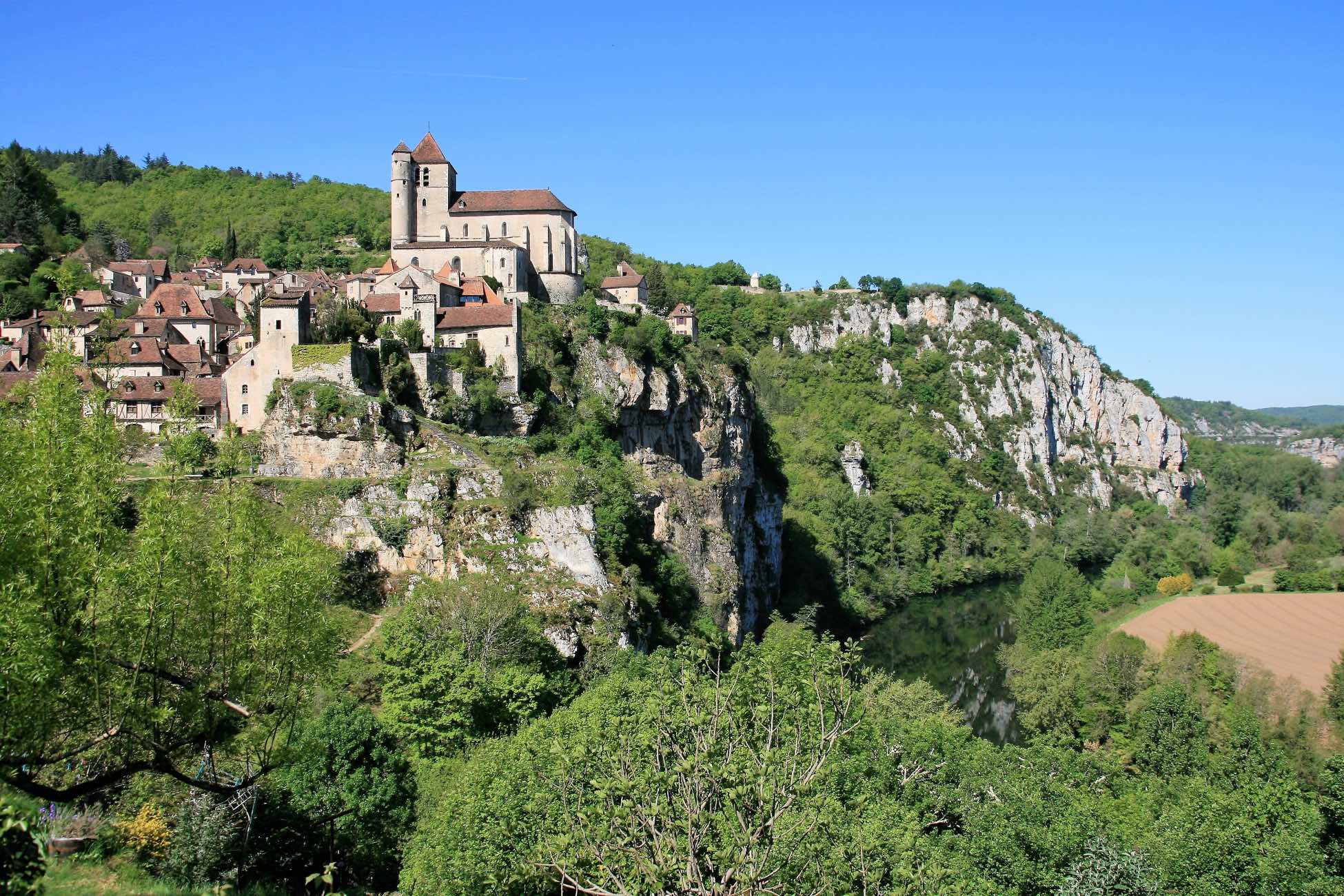
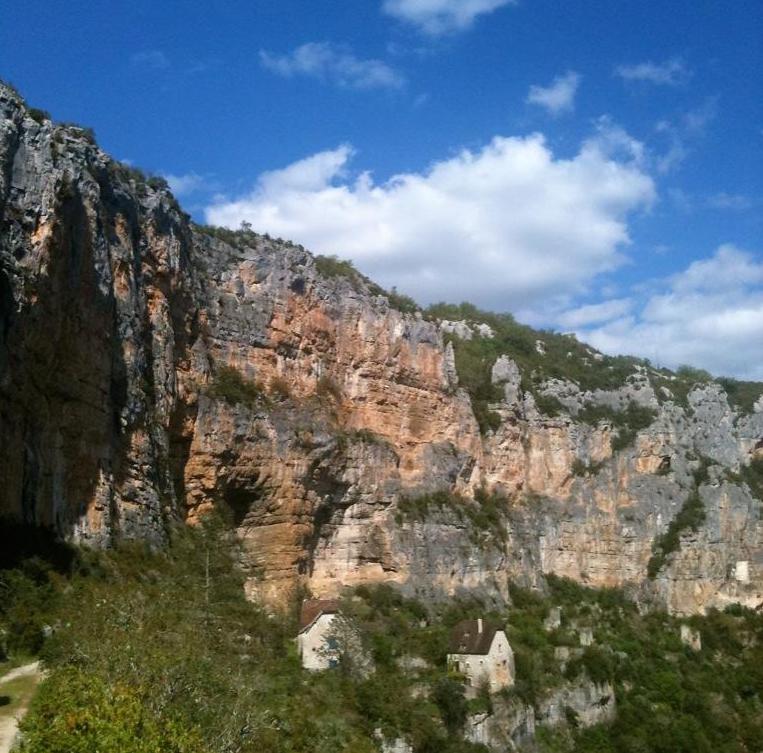
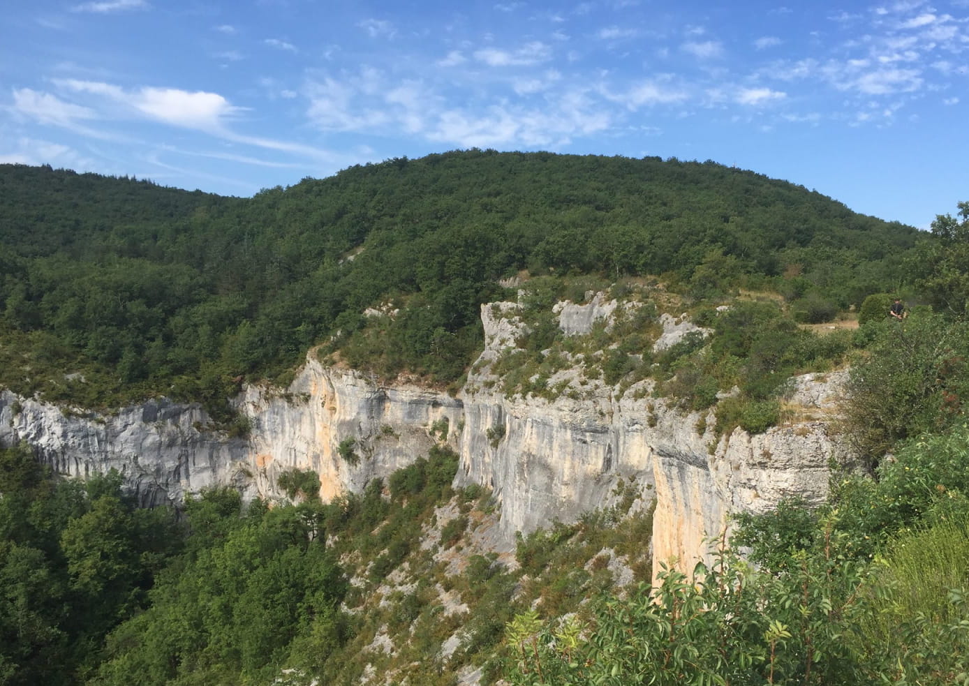
France > Occitanie > Lot > Causses du Quercy Nature Park
Length
6km
Duration
1h30min
Elev gain
81m
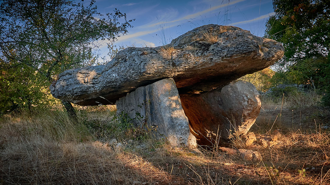
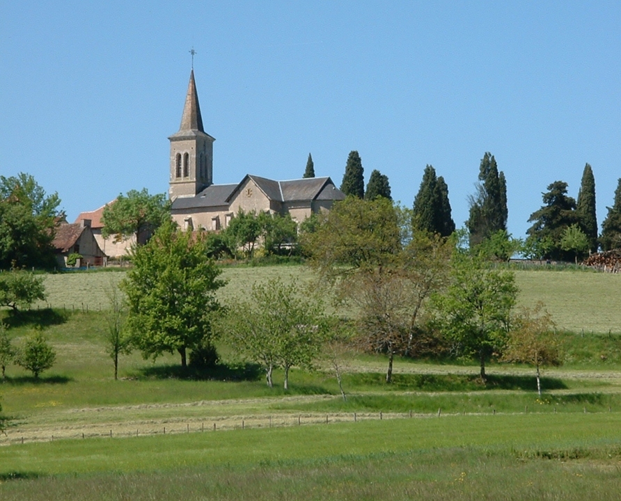
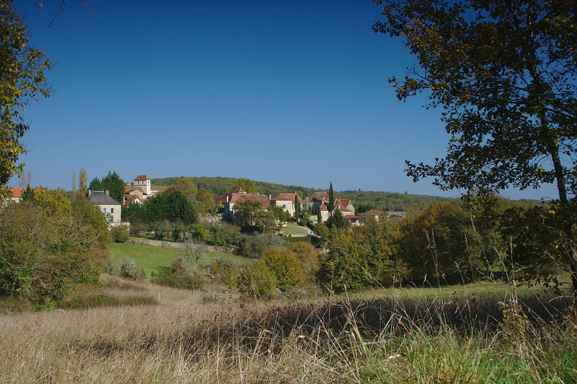
Departing from Lentillac-du-Causse, this walk takes place in a bucolic setting. The route makes a loop south of the village on paths lined with dry stone walls and small traditional huts.

Already more than 200,000 users!
Uphill
81m
Highest point
313m
Downhill
81m
Lowest point
280m
Route type
Loop
Download the map on your smartphone to save battery and rest assured to always keep access to the route, even without signal.
Includes IGN France and Swisstopo.
I indicate whether dogs are allowed or prohibited on this trail
All year
0 ratings
Also enjoy:

Already more than 200,000 users!