Uphill
494m
Length
13km
Duration
4h30min
Elev gain
494m
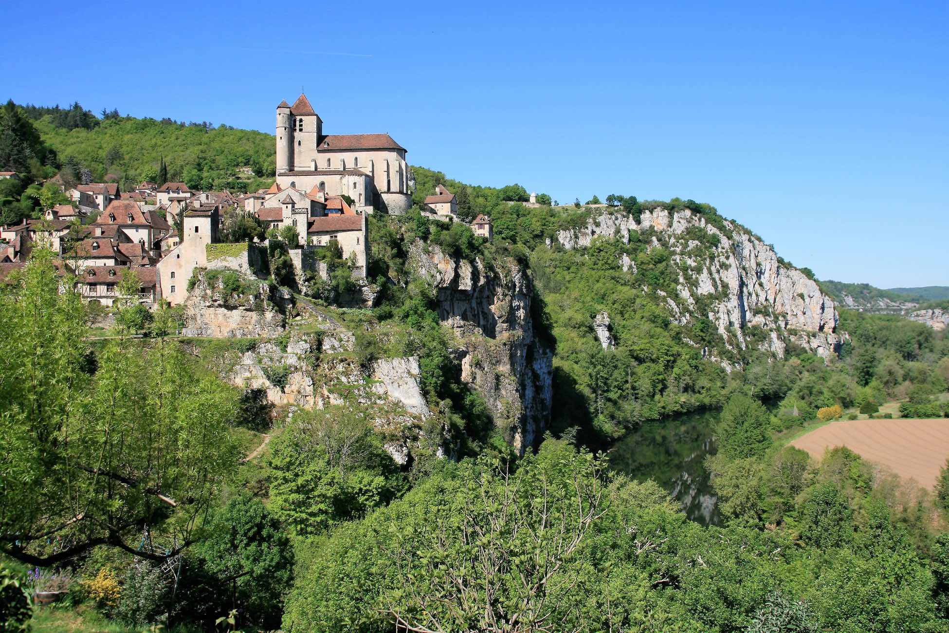
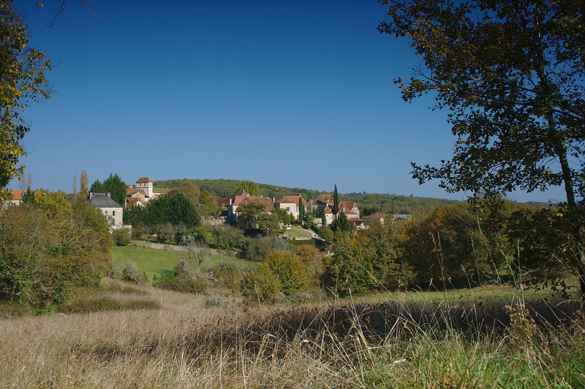
Here is a pretty hike starting from Saint-Cirq-Lapopie, a village voted among the most beautiful in France.
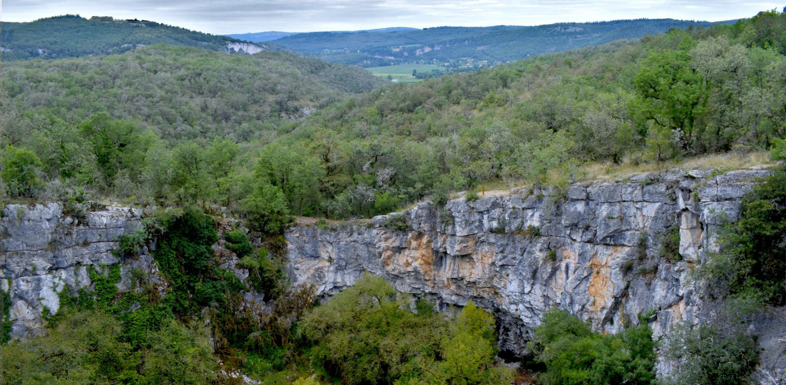
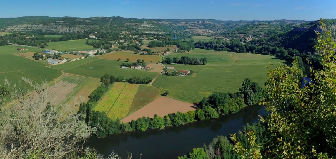
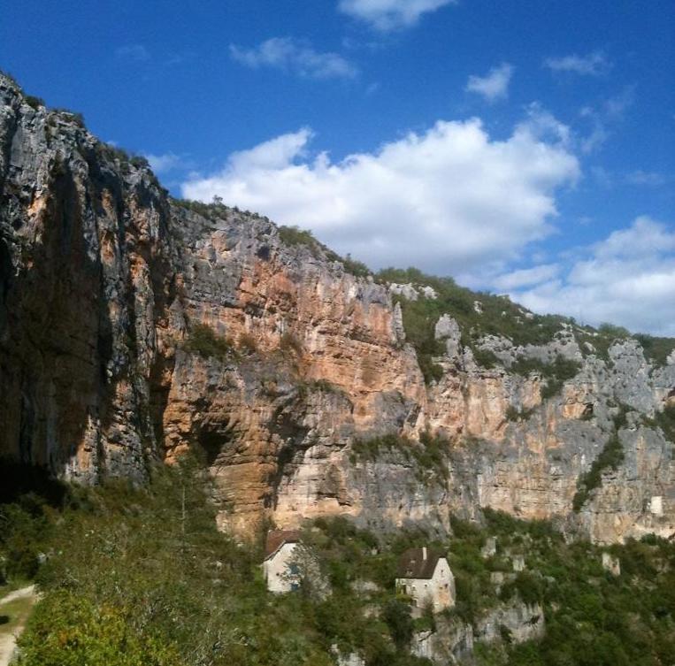
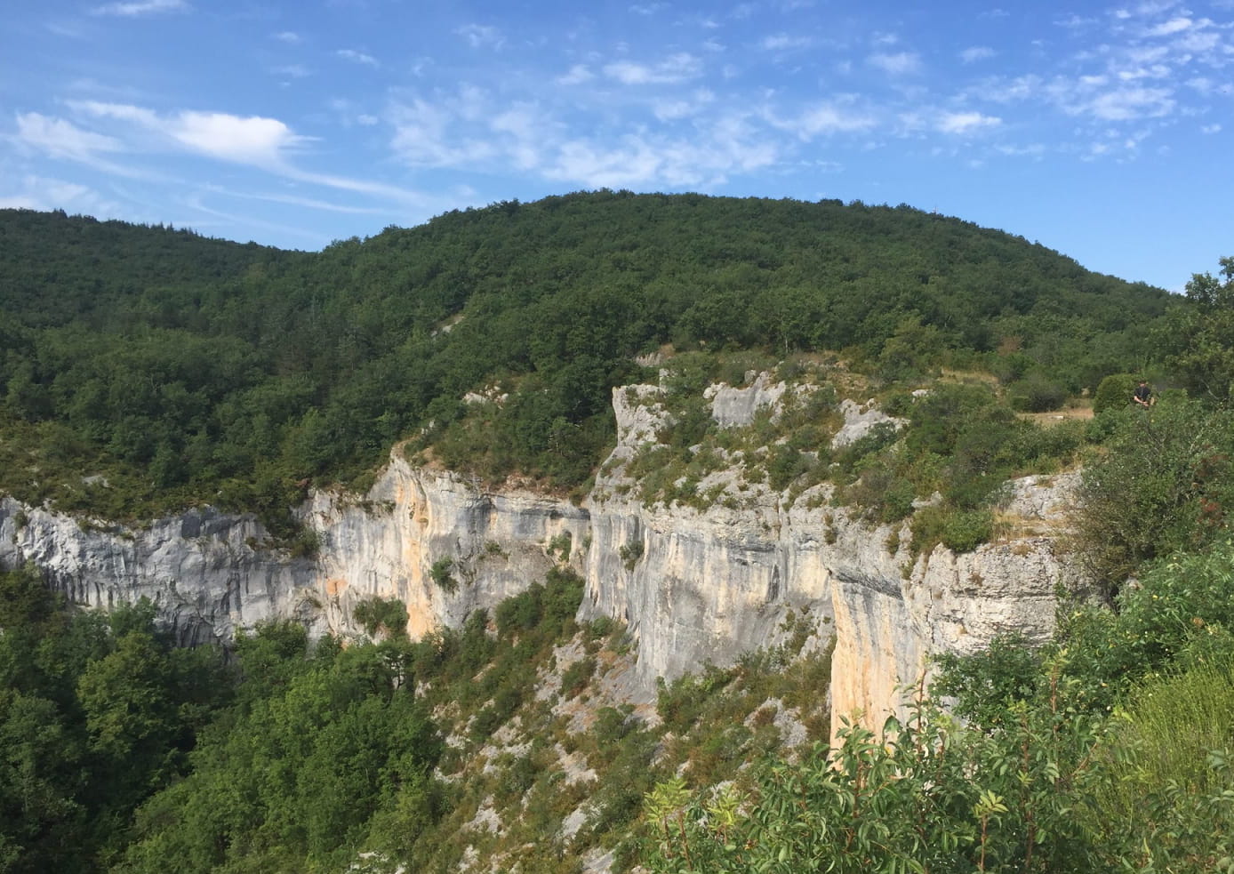
The route passes by the small Sainte-Croix chapel, before reaching the belvedere of the Cirque de Vènes for a breathtaking view. It continues in the Bournac valley, then on a plateau located a little higher.

Already more than 200,000 users!
Uphill
494m
Highest point
347m
Downhill
494m
Lowest point
144m
Route type
Loop
Download the map on your smartphone to save battery and rest assured to always keep access to the route, even without signal.
Includes IGN France and Swisstopo.
I indicate whether dogs are allowed or prohibited on this trail
All year
0 ratings
Also enjoy:

Already more than 200,000 users!