Uphill
314m
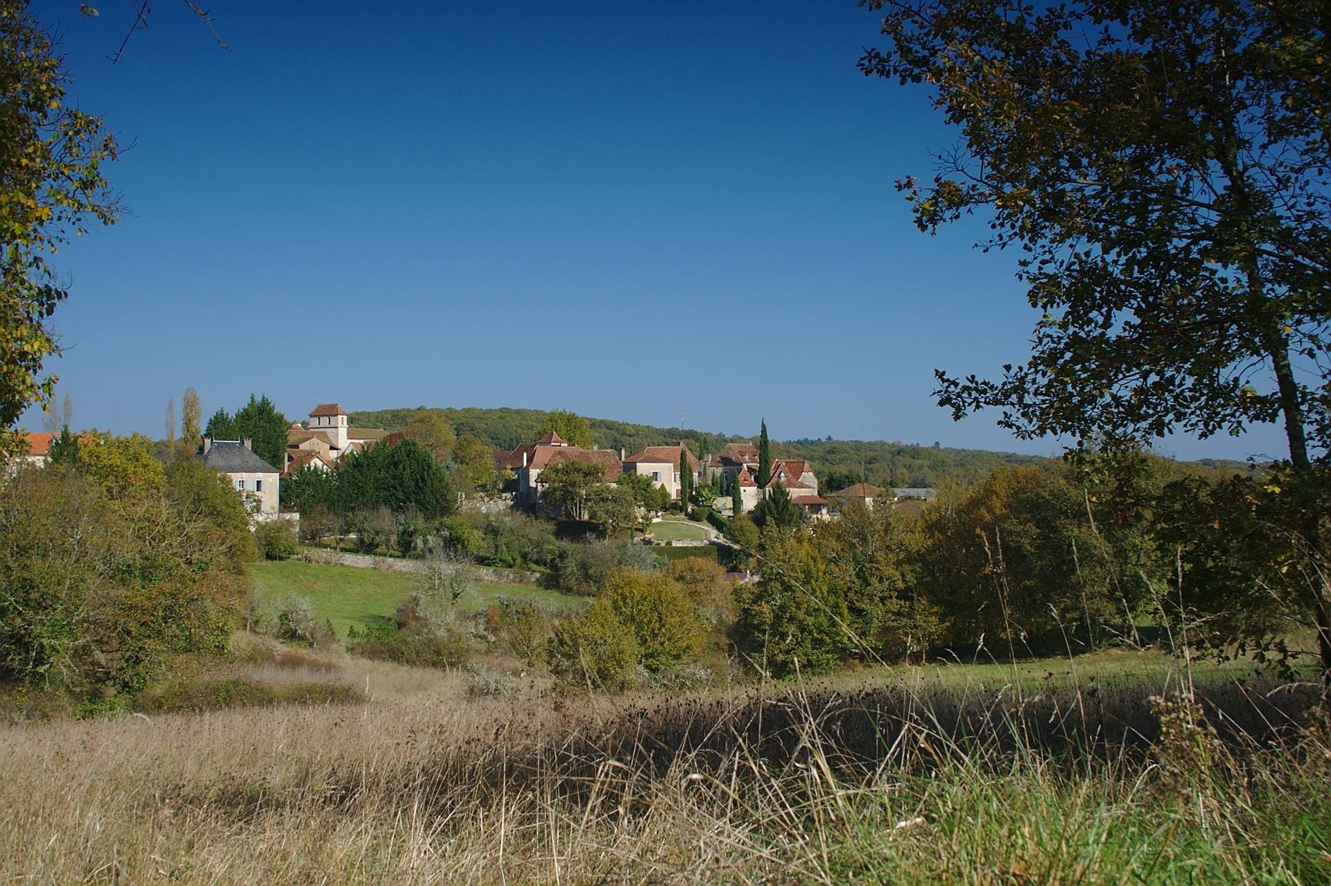
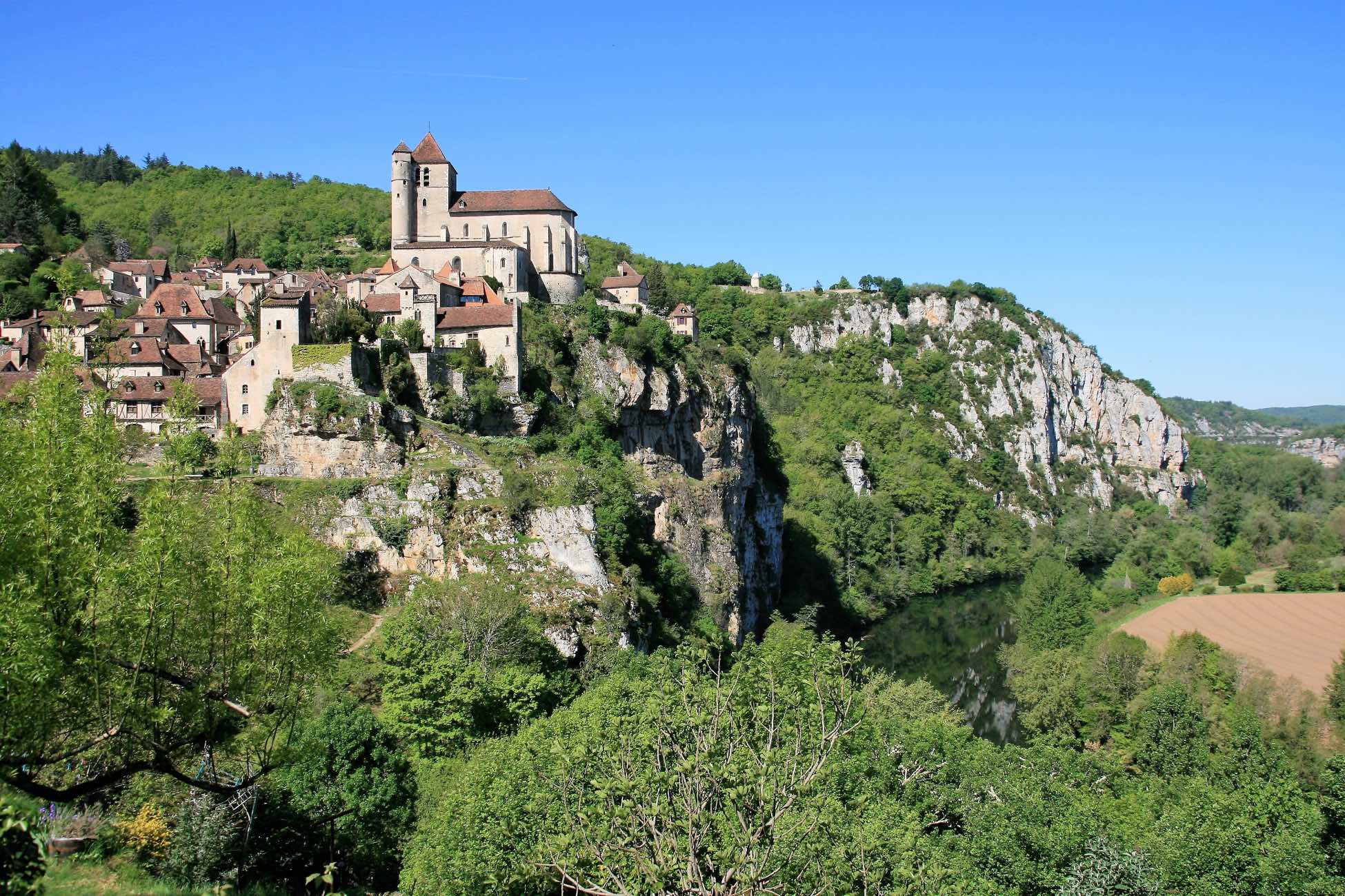
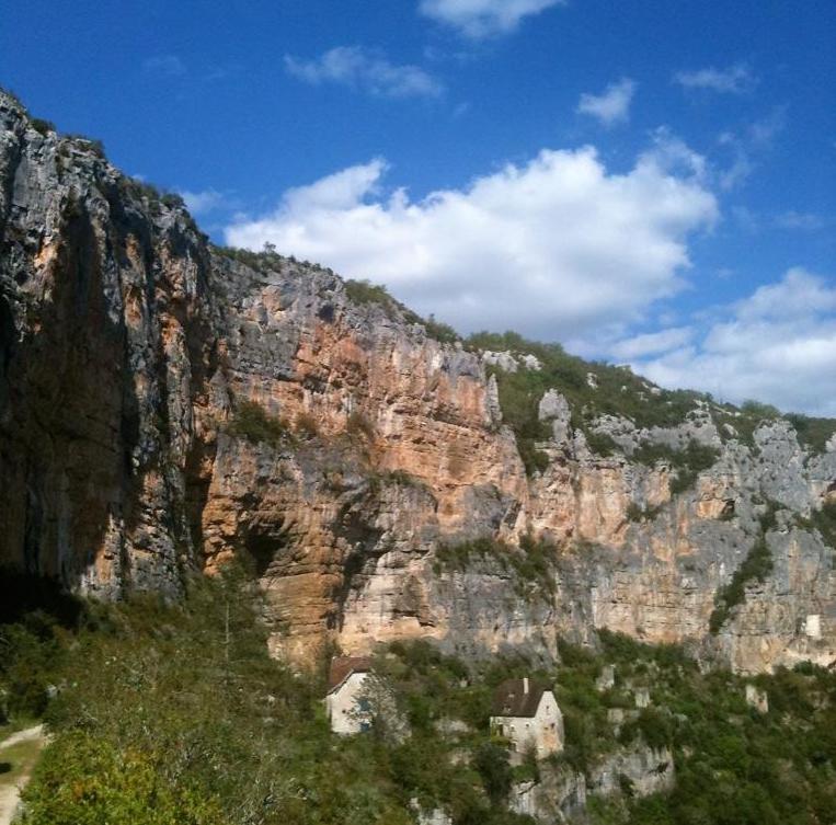
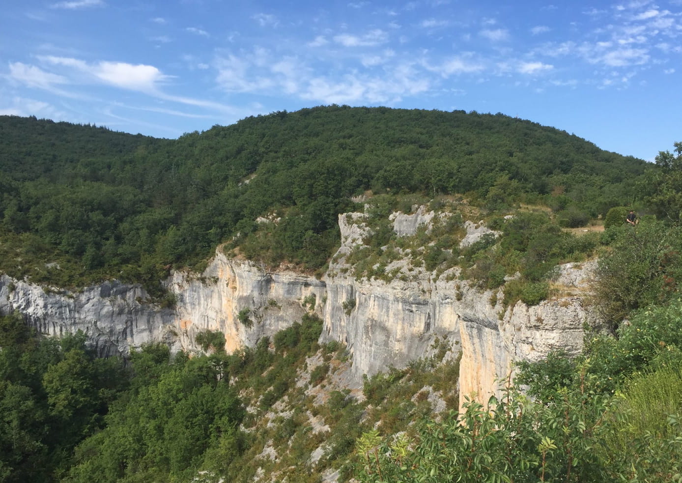
France > Occitanie > Lot > Causses du Quercy Nature Park
Length
15km
Duration
4h30min
Elev gain
314m
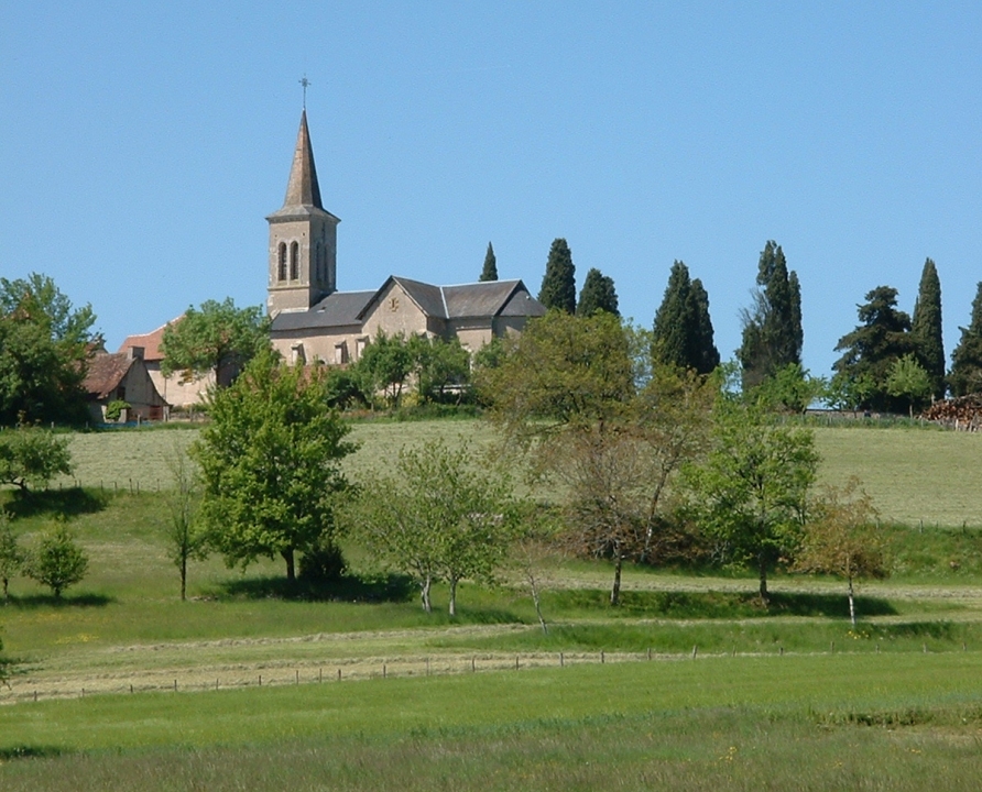
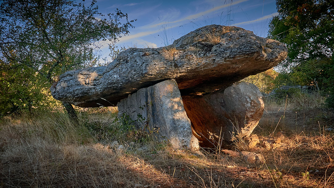
It is south of Lentillac-du-Causse that this pretty hike takes place. The trail sets out to discover the wild and enigmatic Sagne valley, where there are many dolmens.

Already more than 200,000 users!
Uphill
314m
Highest point
314m
Downhill
314m
Lowest point
157m
Route type
Loop
Download the map on your smartphone to save battery and rest assured to always keep access to the route, even without signal.
Includes IGN France and Swisstopo.
I indicate whether dogs are allowed or prohibited on this trail
All year
0 ratings
Also enjoy:

Already more than 200,000 users!