Uphill
588m
France > Occitanie > Aveyron > Grands Causses Regional Natural Park
Length
15km
Duration
5h30min
Elev gain
588m
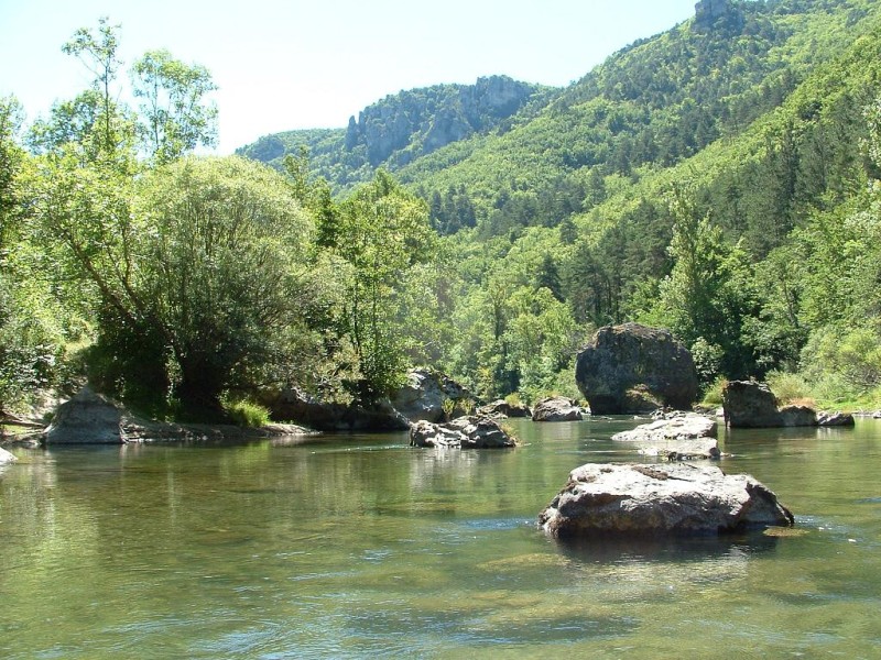
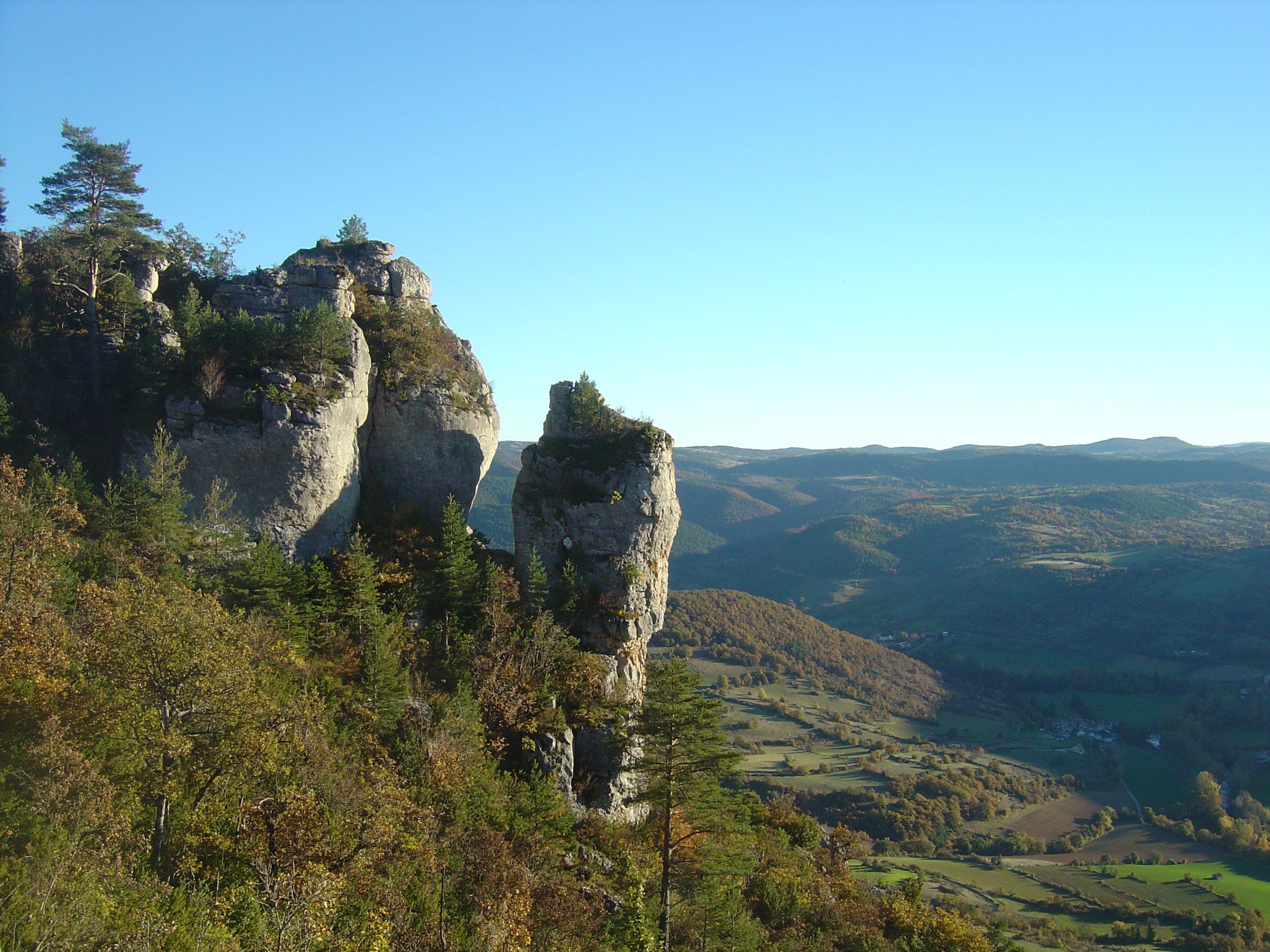
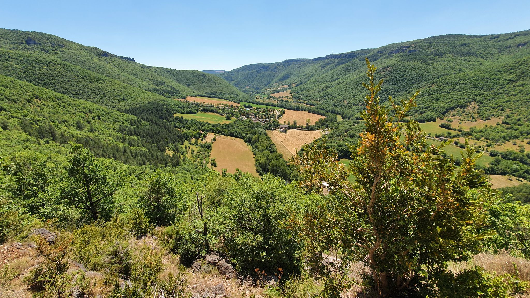
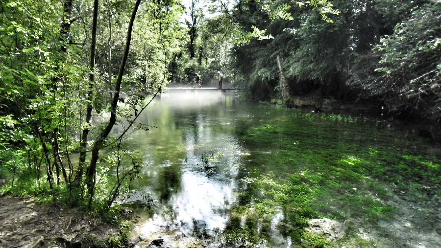
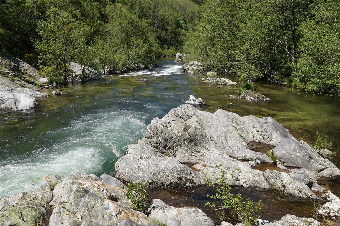
Leaving from Saint-Jean-du-Bruel, this hike is perfect in hot weather. The path, being mainly forest, is in the shade of the trees and dominates the Dourbie throughout the hike. Halfway through, the trail crosses the Dourbie via the Tayrac footbridge to reach the opposite side and return to the starting point. A nice walk with beautiful landscapes!

Already more than 200,000 users!
Uphill
588m
Highest point
800m
Downhill
588m
Lowest point
509m
Route type
Loop
Download the map on your smartphone to save battery and rest assured to always keep access to the route, even without signal.
Includes IGN France and Swisstopo.
I indicate whether dogs are allowed or prohibited on this trail
All year
0 ratings
Also enjoy:

Already more than 200,000 users!