Uphill
381m
Length
13km
Duration
4h30min
Elev gain
381m
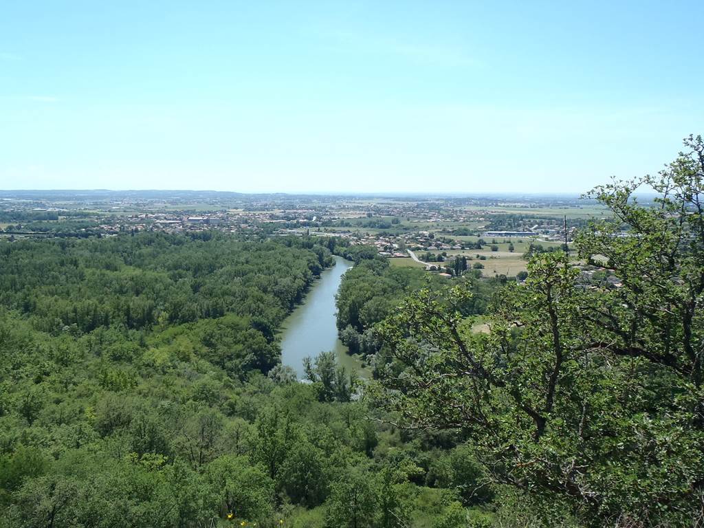
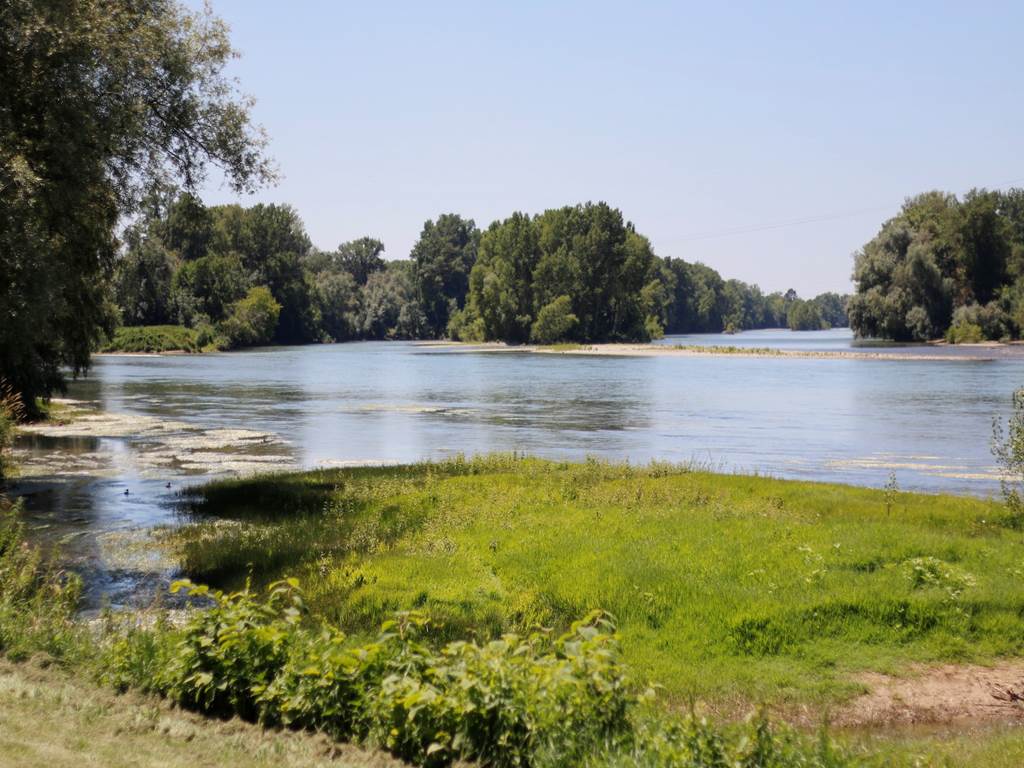
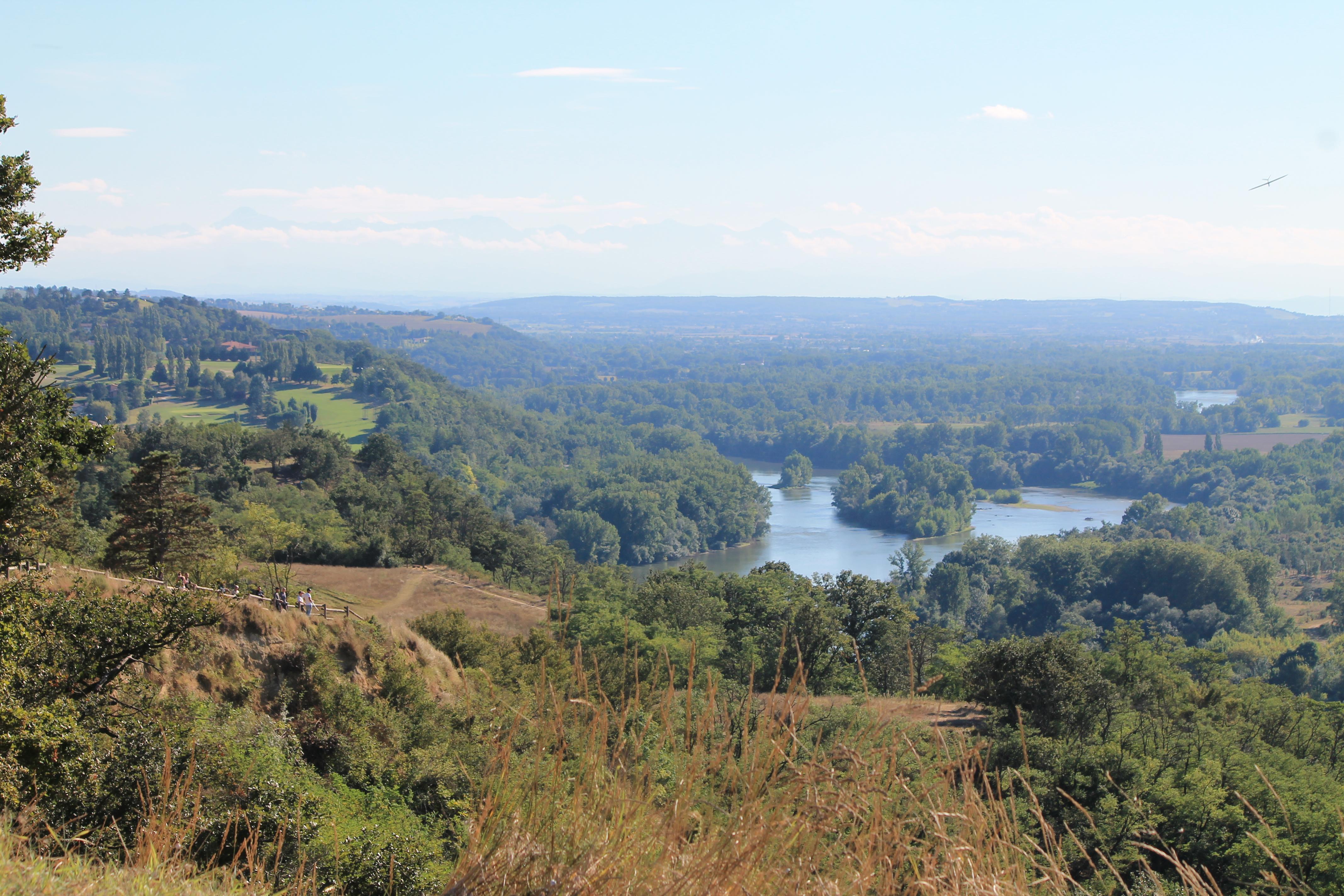
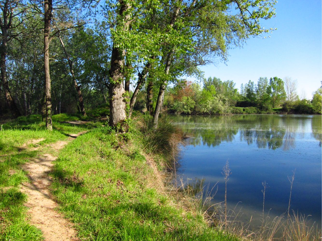
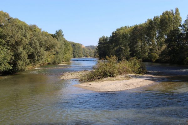
Varied walk, between undergrowth, countryside and Ariège. Viewpoints going as far as the Pyrenees in good weather.
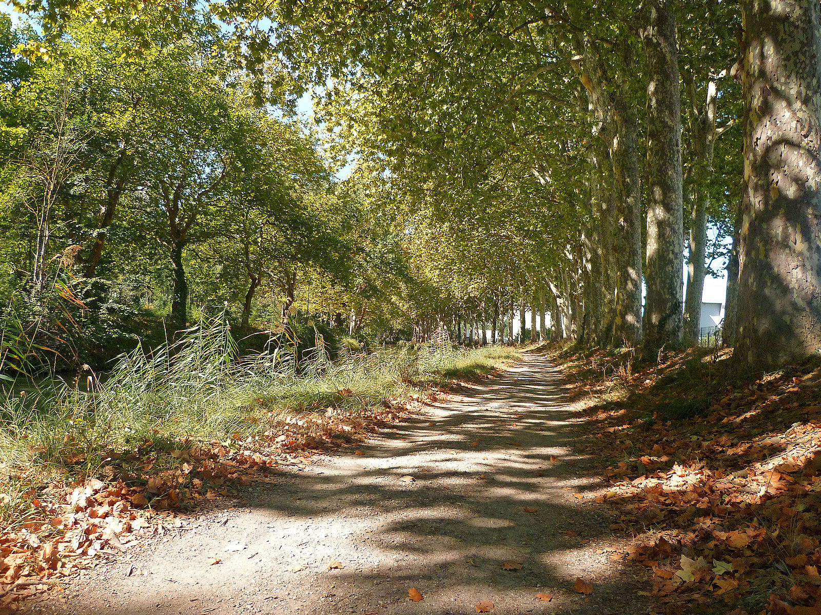
Note several passages on the road.

Already more than 200,000 users!
Uphill
381m
Highest point
266m
Downhill
381m
Lowest point
48m
Route type
Loop
Download the map on your smartphone to save battery and rest assured to always keep access to the route, even without signal.
Includes IGN France and Swisstopo.
I indicate whether dogs are allowed or prohibited on this trail
All year
2 ratings
Très sympa, j’aurais du regarder la météo parce que sous la pluie ça complique beaucoup les choses ;)
La deuxième moitié de la balade compte quelques côtes un peu raides mais qui offrent des jolis points de vue :)
Also enjoy:

Already more than 200,000 users!