Uphill
111m
Length
6km
Duration
1h30min
Elev gain
111m
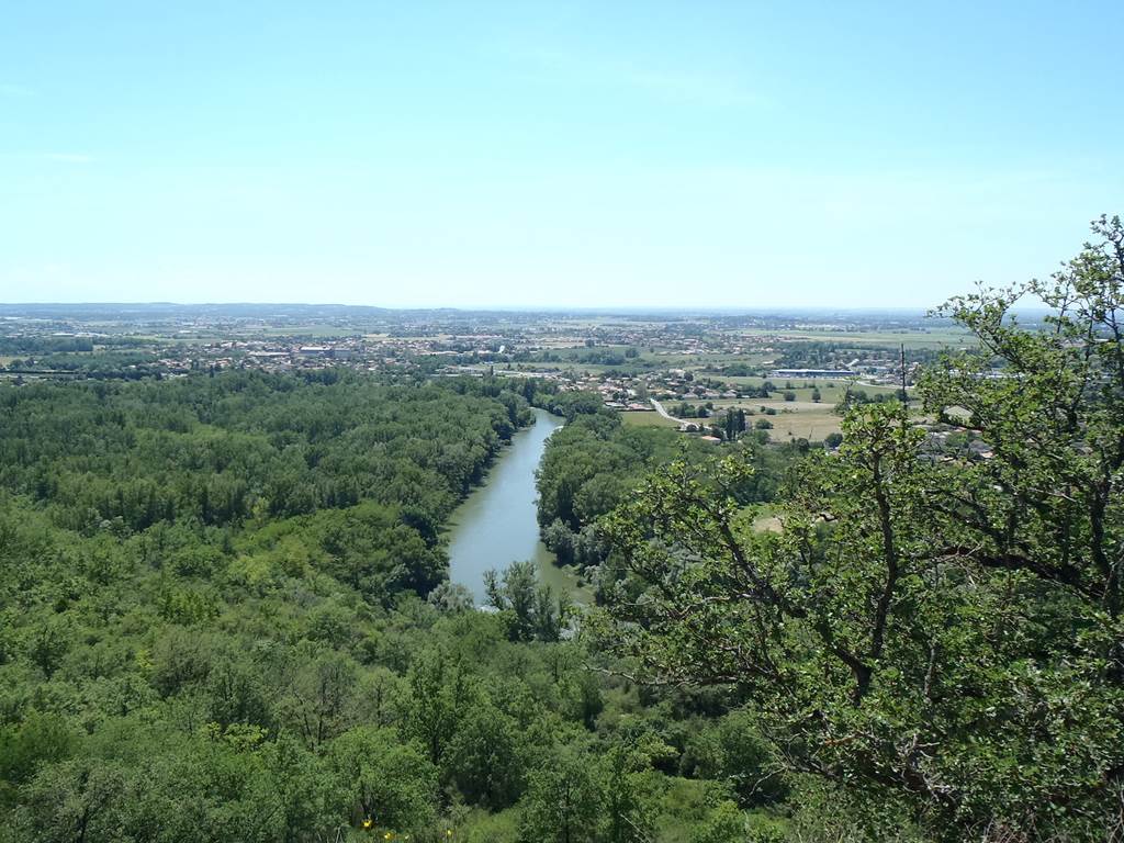
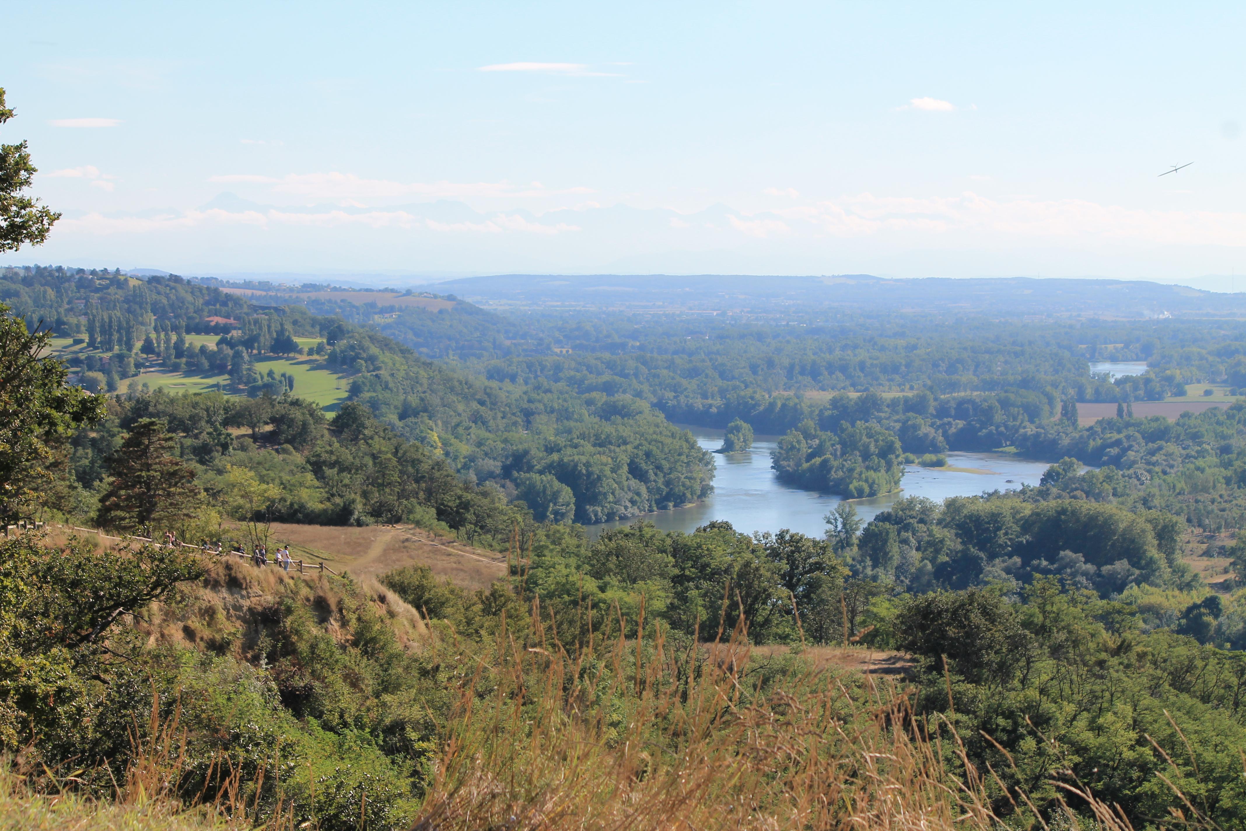
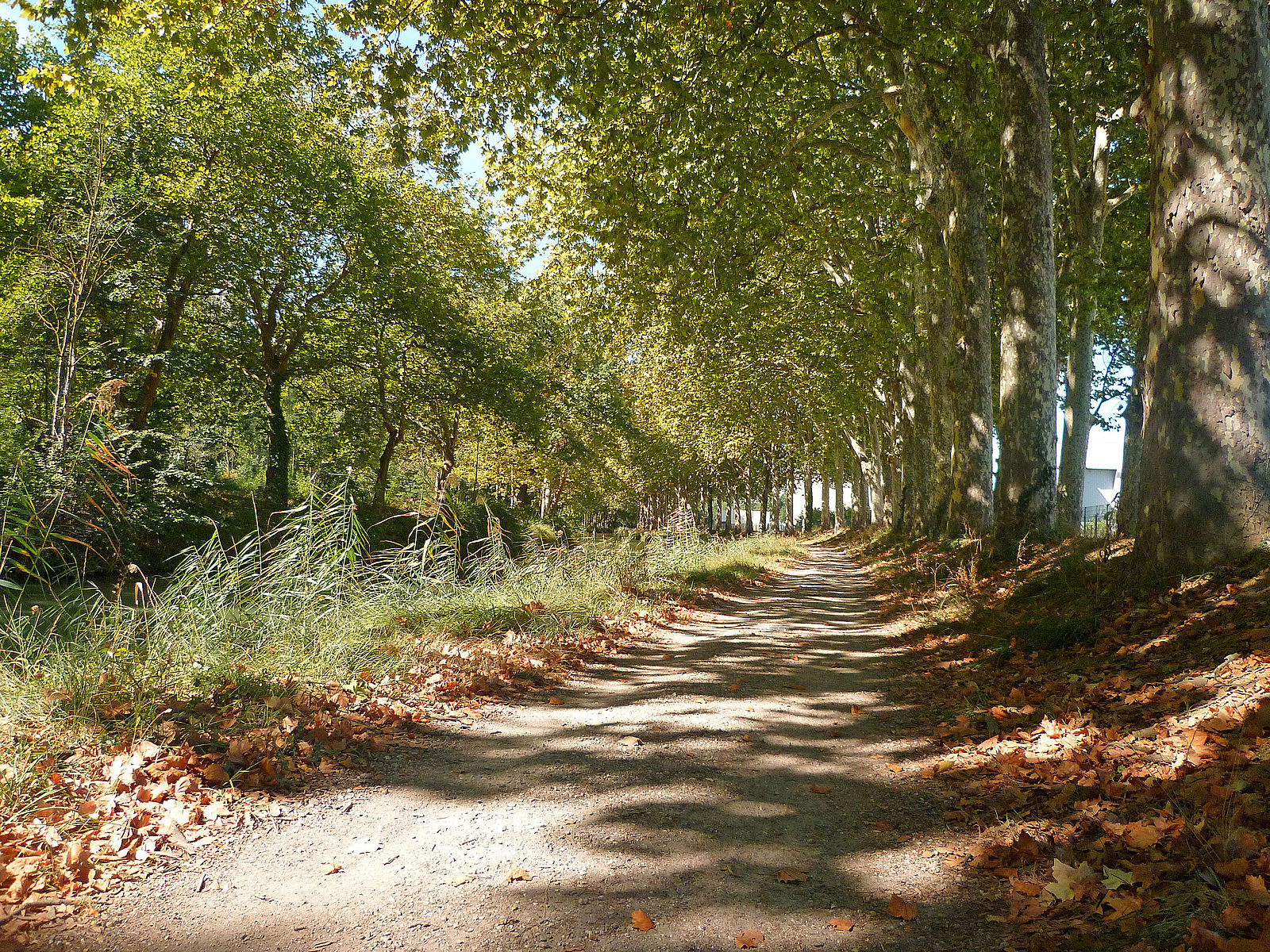
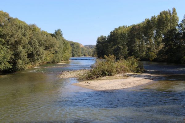
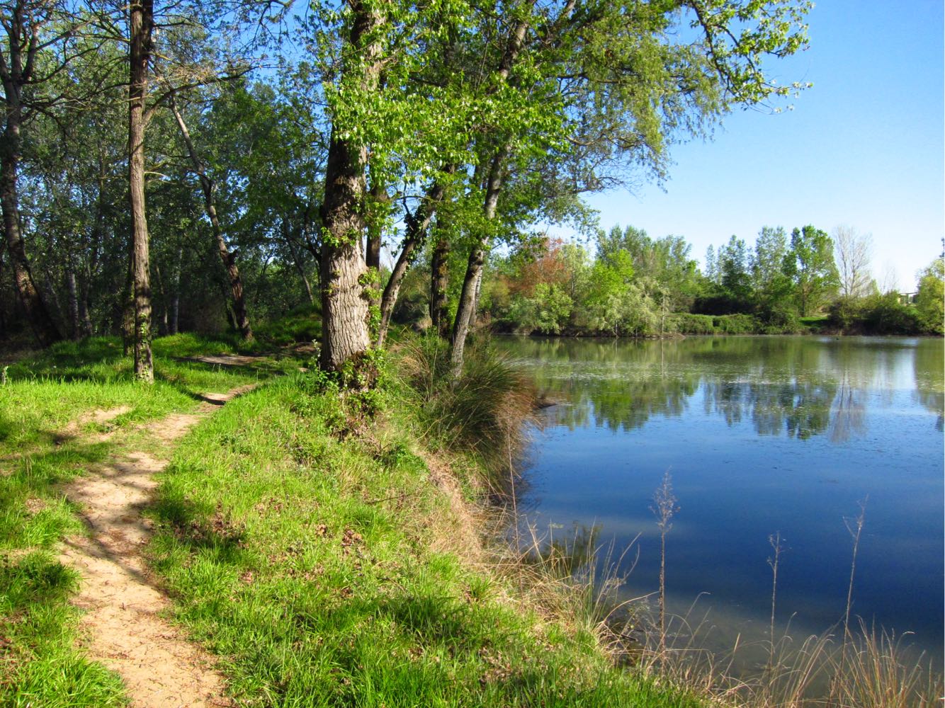
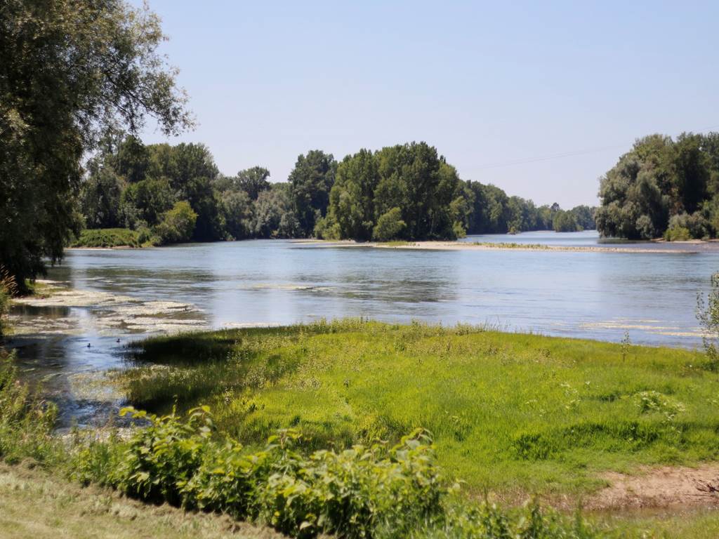
Circuit in the heart of a regional nature reserve, between woods and the banks of the Garonne. Very nice for a picnic.

Already more than 200,000 users!
Uphill
111m
Highest point
167m
Downhill
111m
Lowest point
126m
Route type
Loop
Download the map on your smartphone to save battery and rest assured to always keep access to the route, even without signal.
Includes IGN France and Swisstopo.
I indicate whether dogs are allowed or prohibited on this trail
All year
1 rating
Also enjoy:

Already more than 200,000 users!