Uphill
214m
Length
8km
Duration
2h30min
Elev gain
214m
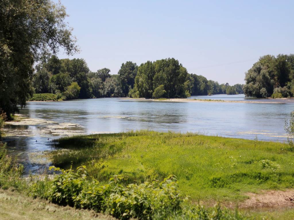
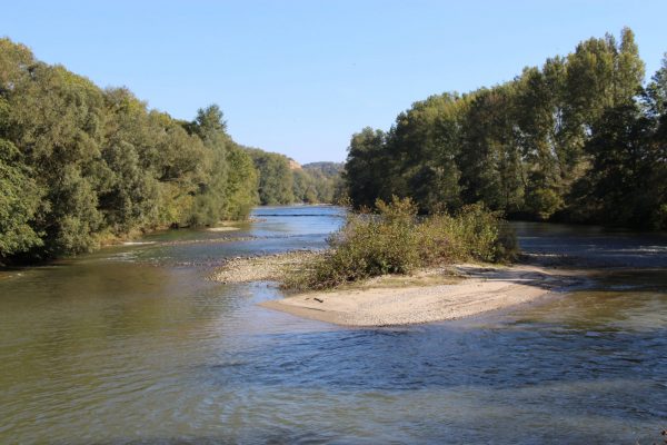
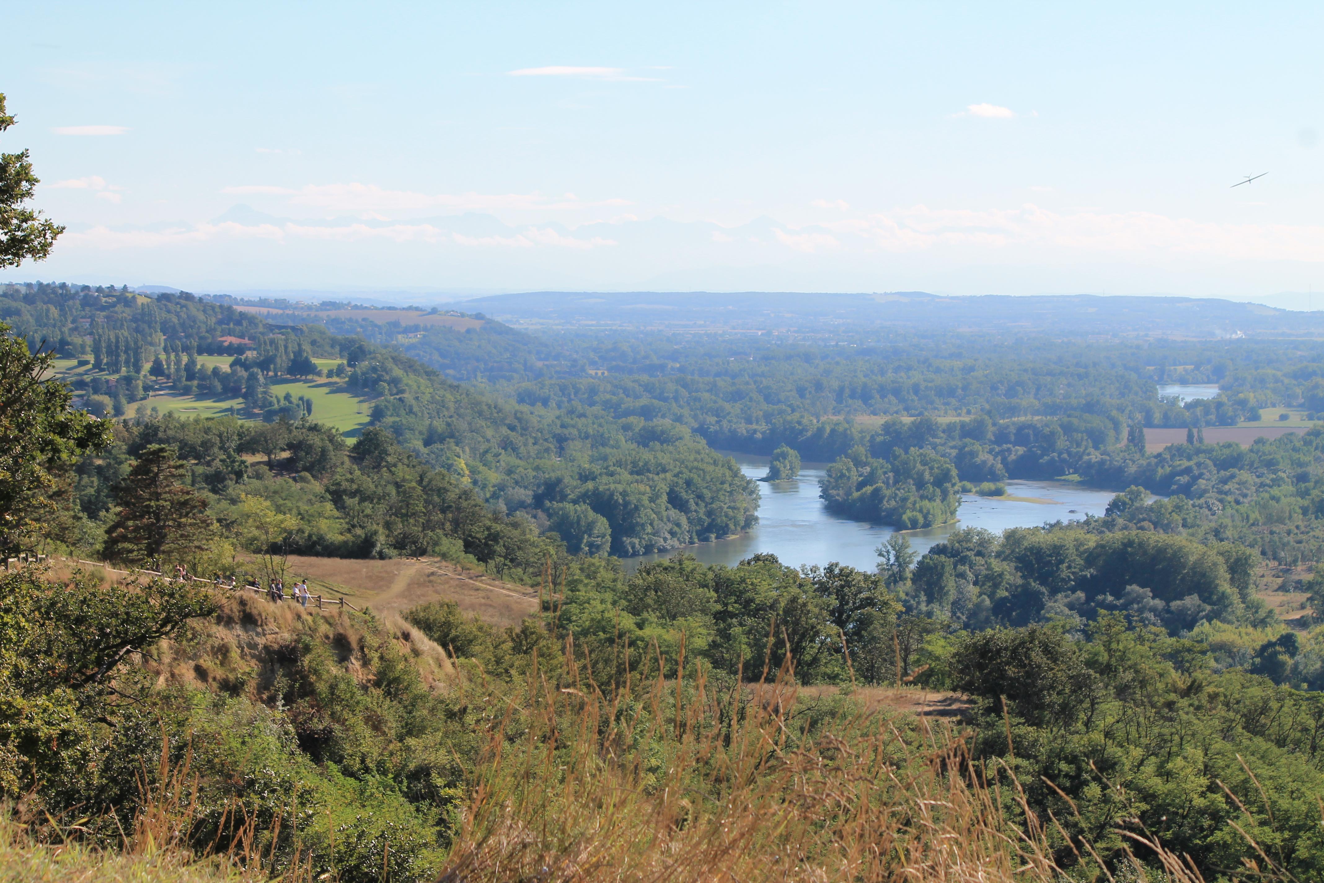
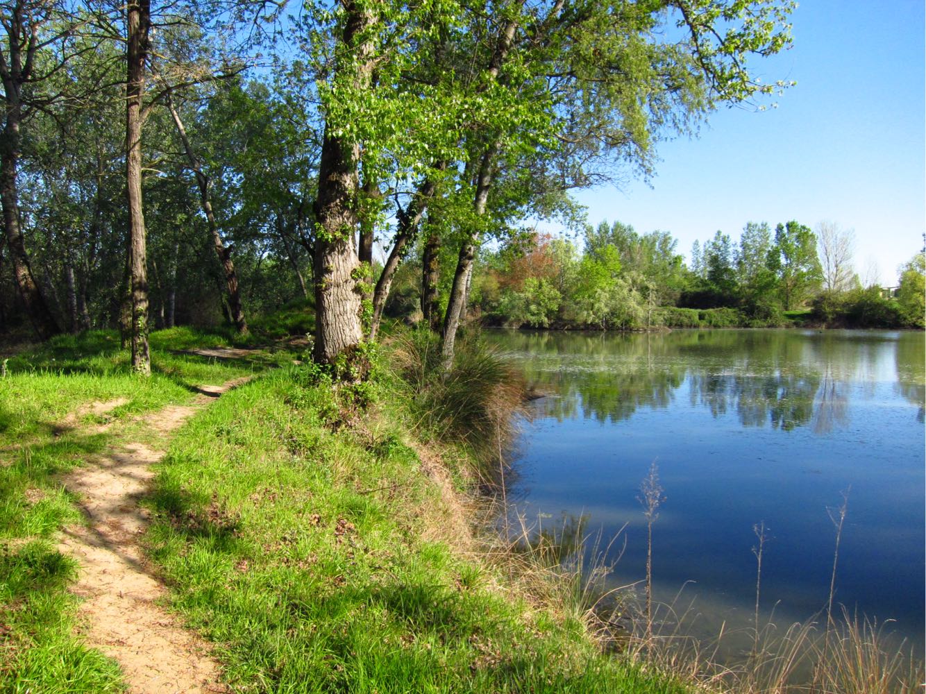
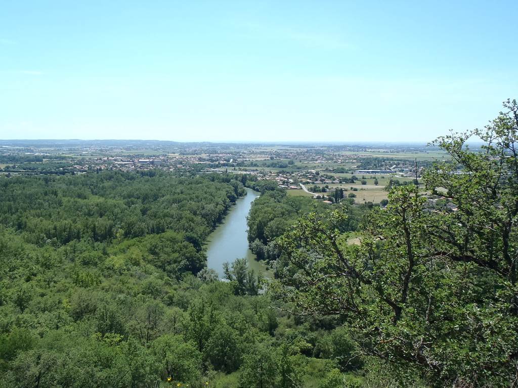
Departing from Lacroix-Falgarde, this walk offers a beautiful panorama of the slopes and the Pyrenees in good weather. The trail also crosses the Confluence Garonne-Ariège nature reserve.
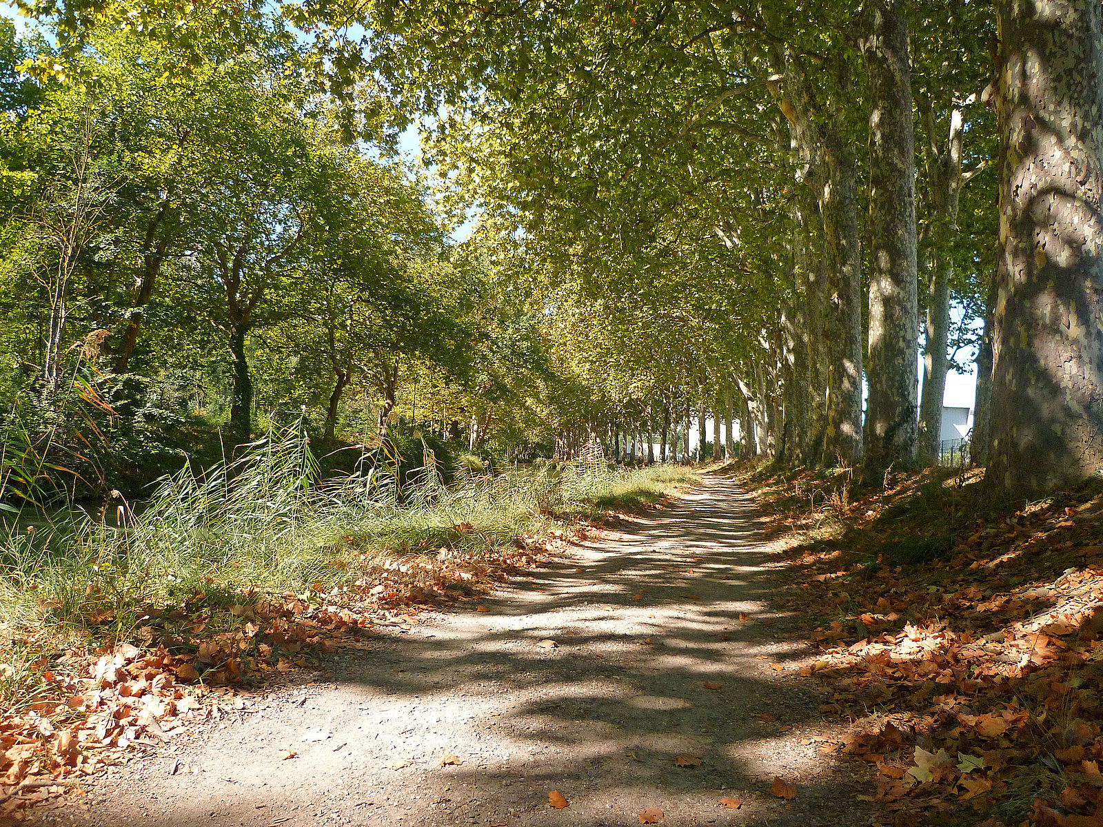
Note that part of the route takes a small paved road.

Already more than 200,000 users!
Uphill
214m
Highest point
266m
Downhill
214m
Lowest point
129m
Route type
Loop
Download the map on your smartphone to save battery and rest assured to always keep access to the route, even without signal.
Includes IGN France and Swisstopo.
I indicate whether dogs are allowed or prohibited on this trail
All year
0 ratings
Also enjoy:

Already more than 200,000 users!