Uphill
107m
Length
9km
Duration
2h30min
Elev gain
107m
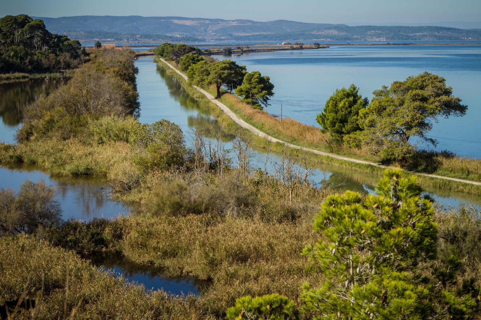
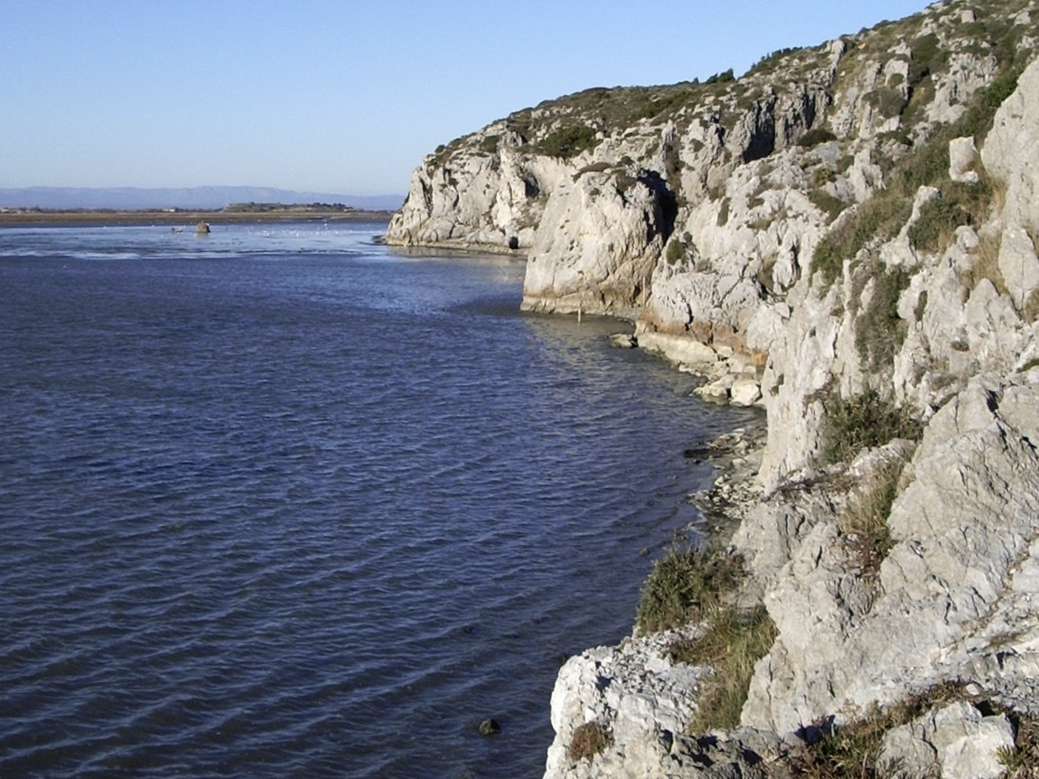
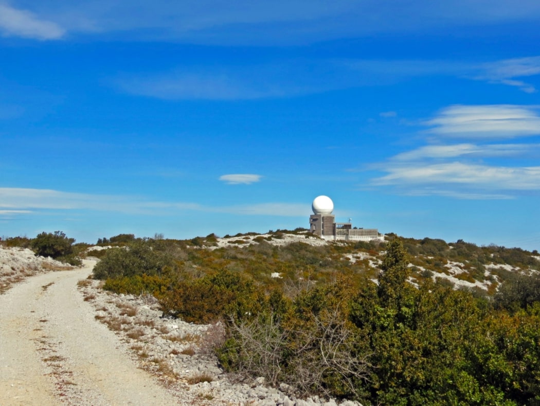
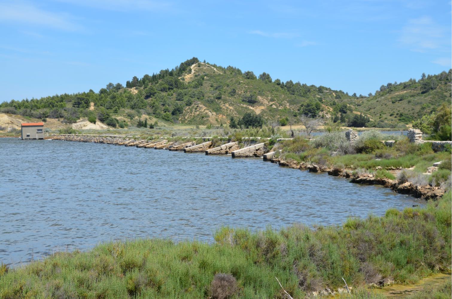
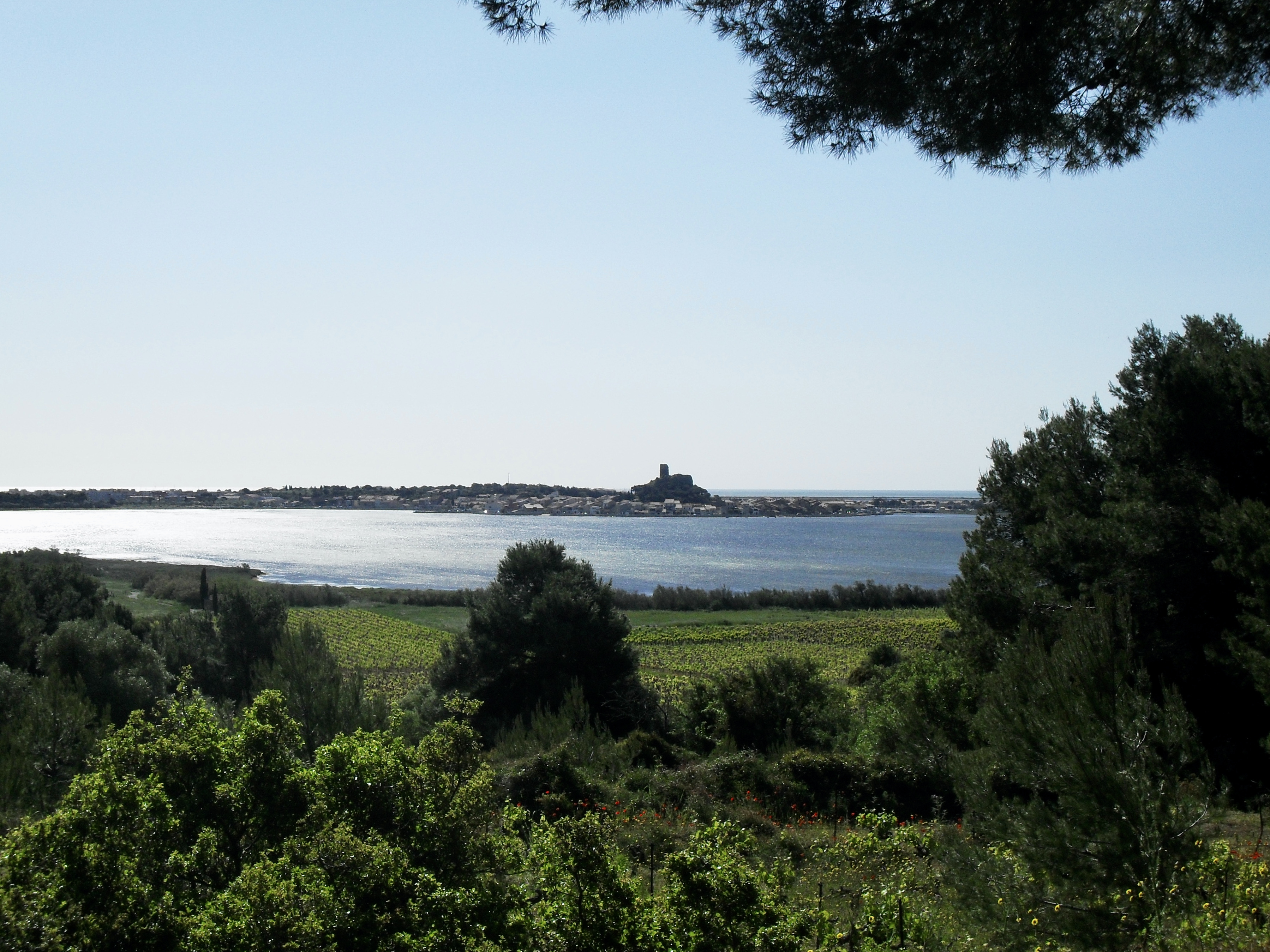
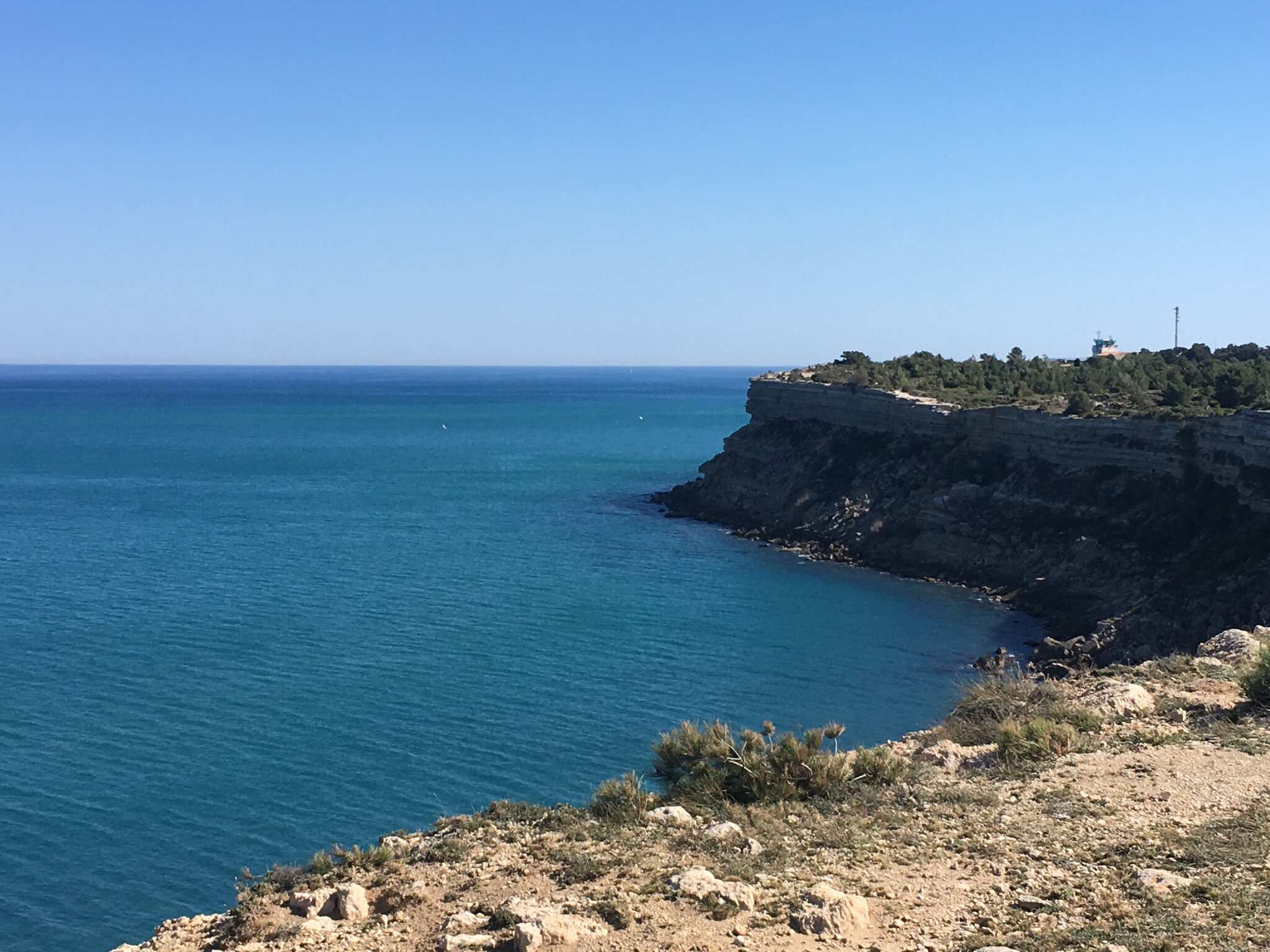
Departing from Leucate, this hike begins by crossing the vineyards by a small road. The trail then arrives at Cap des Frères, after which it skirts the cliffs and offers a splendid panorama. The route continues on the chemin des forts, then passes by the Cap Leucate lighthouse and a beach before returning to the starting point.

Already more than 200,000 users!
Uphill
107m
Highest point
54m
Downhill
107m
Lowest point
6m
Route type
Loop
Download the map on your smartphone to save battery and rest assured to always keep access to the route, even without signal.
Includes IGN France and Swisstopo.
I indicate whether dogs are allowed or prohibited on this trail
All year
6 ratings
Superbe petite rando qui ce fait toute seule avec une superbe vu des falaises ainsi que l’accès à une petite crique 👍🏼
Also enjoy:

Already more than 200,000 users!