Uphill
67m
Length
8km
Duration
2h
Elev gain
67m
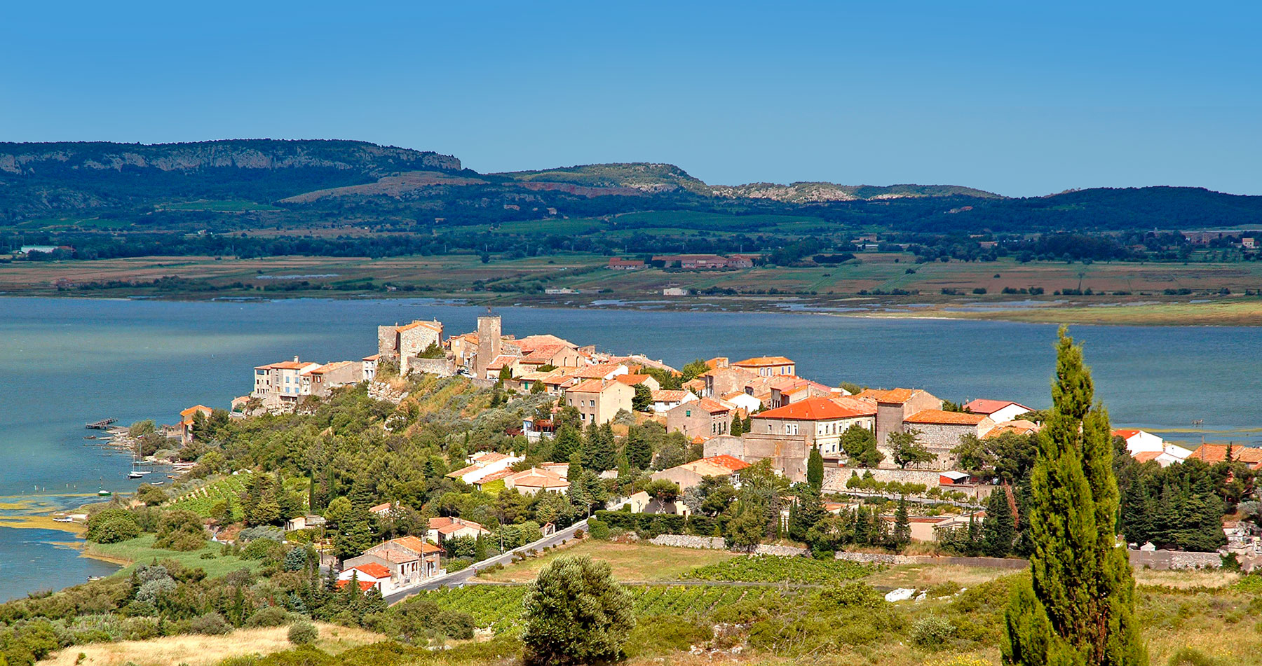
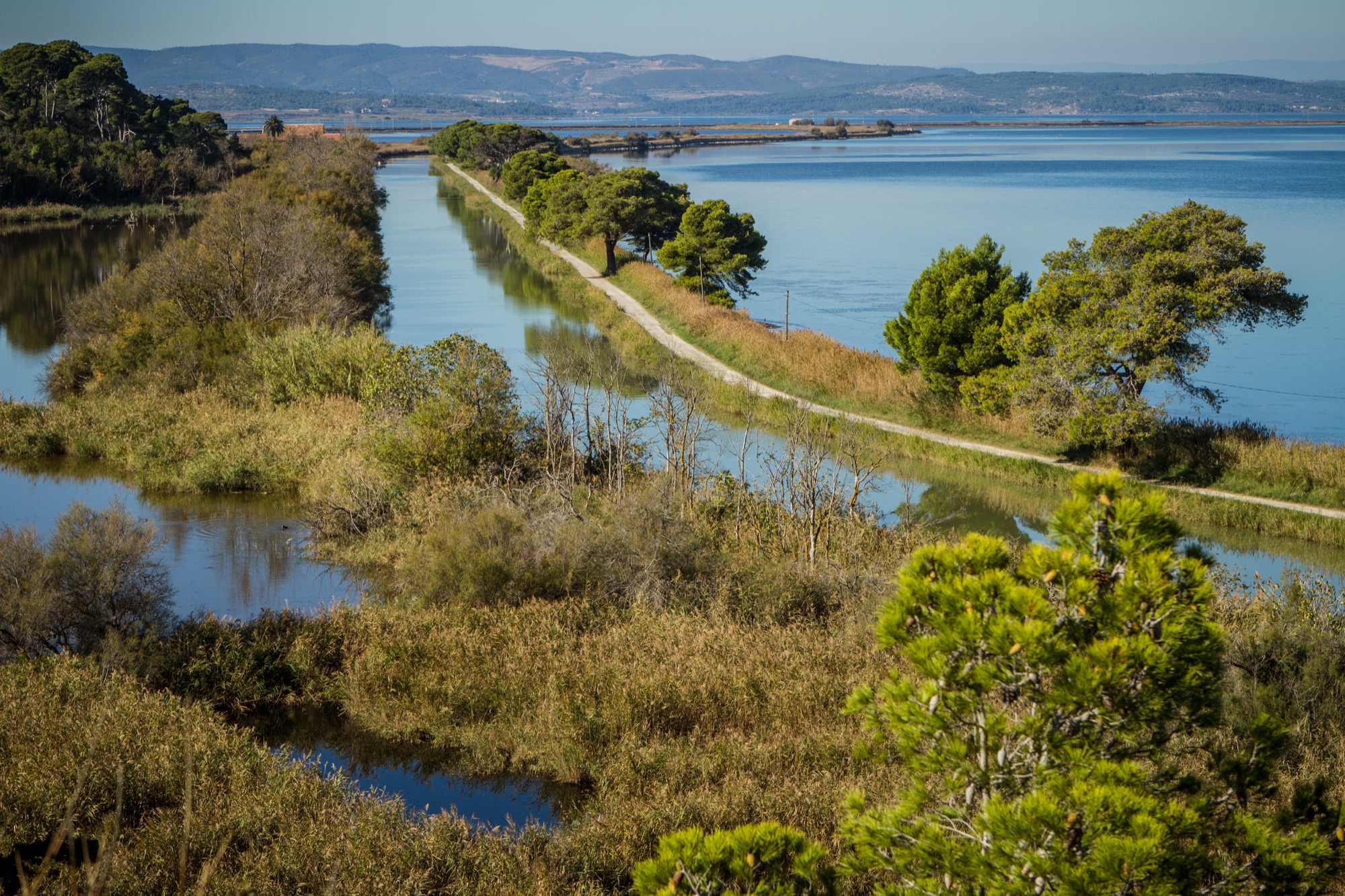
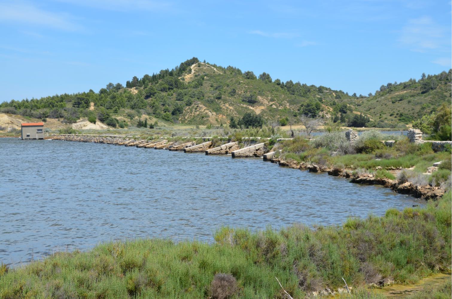
Departing from the charming village of Peyriac-de-Mer, this hike goes around the Doul pond, a small lagoon with an extremely high salt content. The path also goes along the Bages pond.

Already more than 200,000 users!
Uphill
67m
Highest point
67m
Downhill
67m
Lowest point
5m
Route type
Loop
Download the map on your smartphone to save battery and rest assured to always keep access to the route, even without signal.
Includes IGN France and Swisstopo.
I indicate whether dogs are allowed or prohibited on this trail
All year
2 ratings
Also enjoy:

Already more than 200,000 users!