Uphill
184m
France > Occitanie > Aude > Narbonnaise en Méditerranée Nature Park
Length
10km
Duration
3h
Elev gain
184m
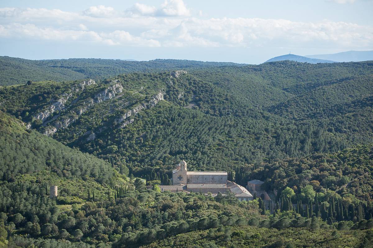
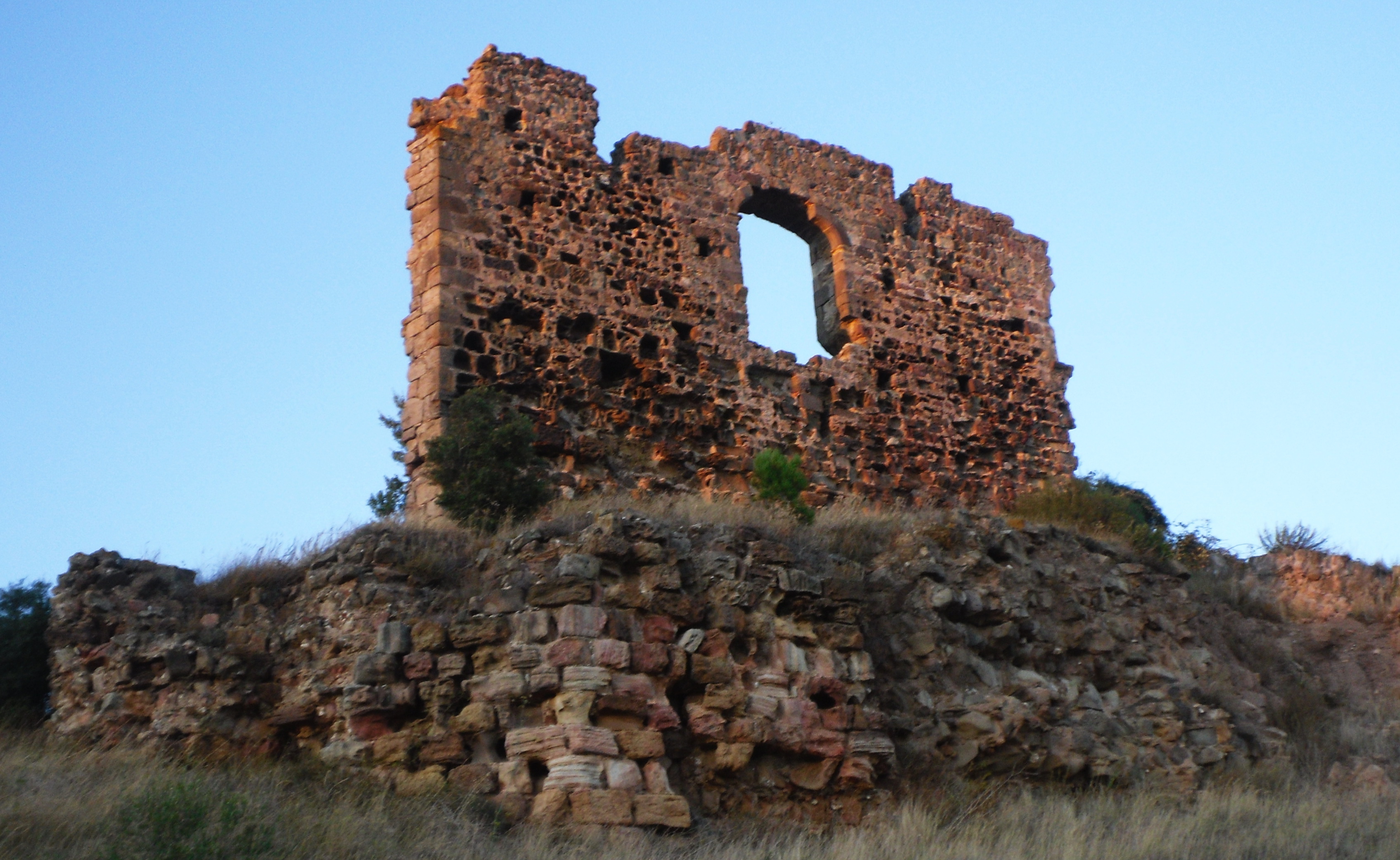
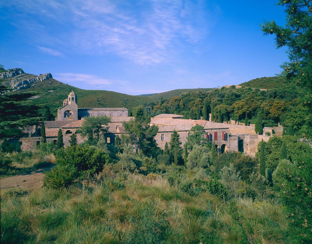
Starting from the beautiful abbey of Fontfroide, this hike makes a long loop in the heart of the forest of the same name, taking wide tracks. The panoramic views of the Pyrenees and the Corbières are magnificent.

Already more than 200,000 users!
Uphill
184m
Highest point
233m
Downhill
184m
Lowest point
92m
Route type
Loop
Download the map on your smartphone to save battery and rest assured to always keep access to the route, even without signal.
Includes IGN France and Swisstopo.
I indicate whether dogs are allowed or prohibited on this trail
All year
3 ratings
Jolie randonnée mais à éviter par forte chaleur, pas du tout ombragée
Also enjoy:

Already more than 200,000 users!