Uphill
167m
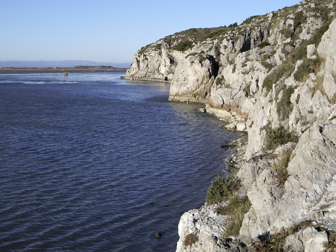
France > Occitanie > Aude > Narbonnaise en Méditerranée Nature Park
Length
7km
Duration
2h
Elev gain
167m
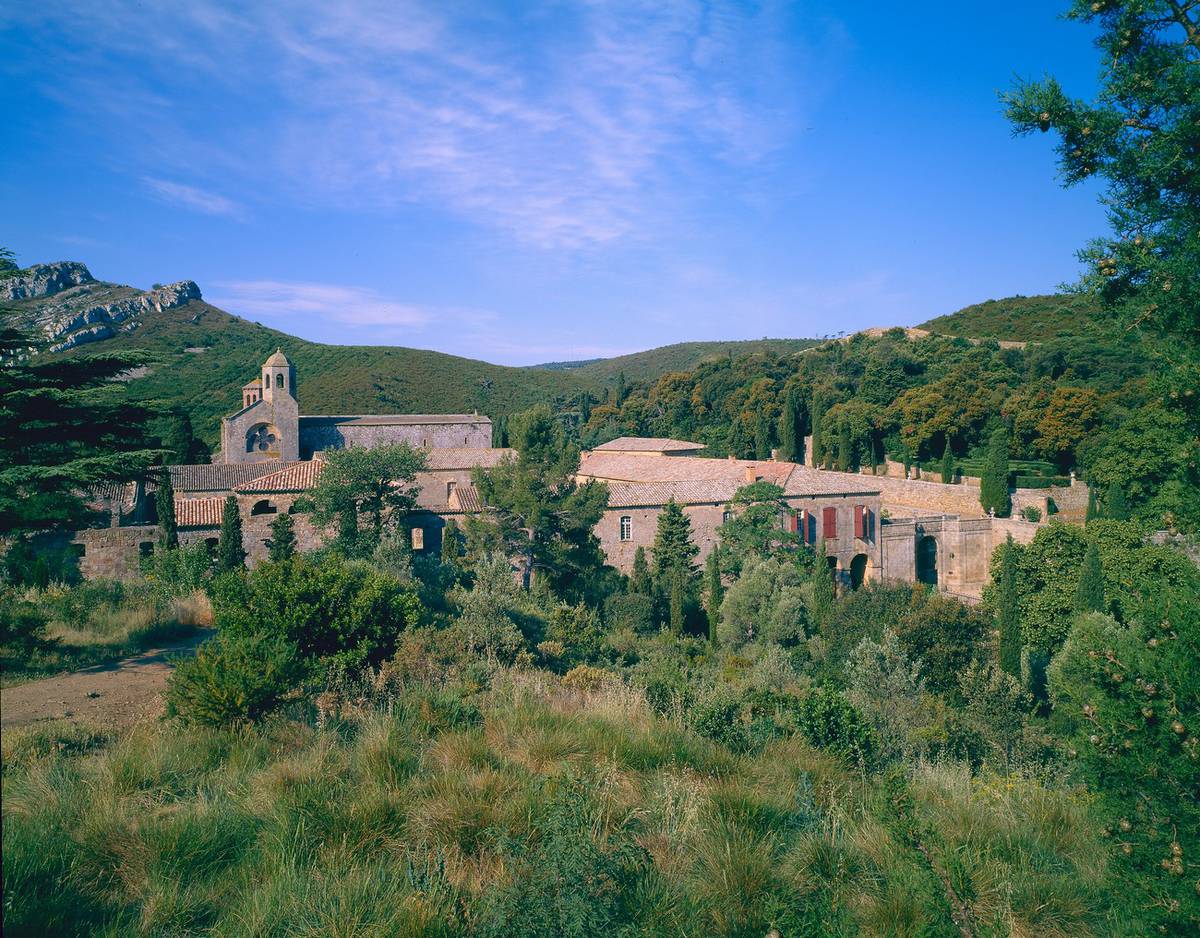
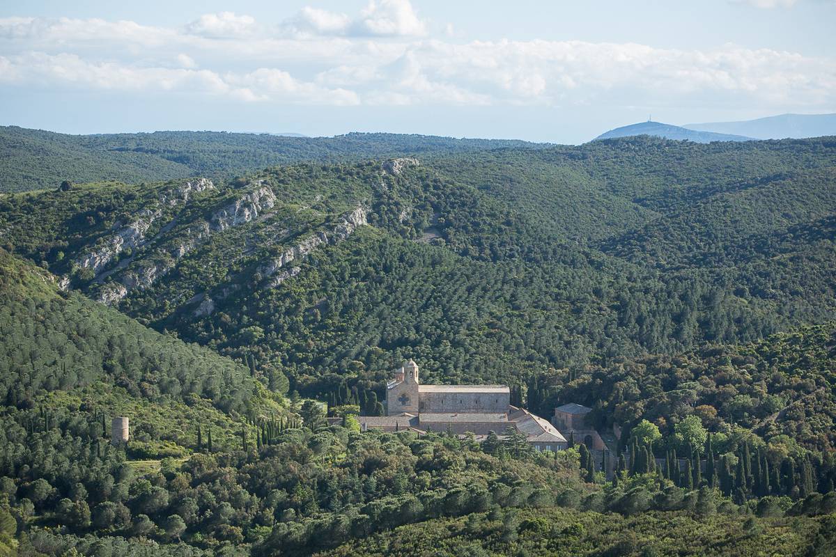
Here is a nice walk in the heart of the Fontlaurier pine forest. The route rises to offer a magnificent view of the Pyrenees chain and the Abbey of Fontfroide.

Already more than 200,000 users!
Uphill
167m
Highest point
248m
Downhill
167m
Lowest point
83m
Route type
Loop
Download the map on your smartphone to save battery and rest assured to always keep access to the route, even without signal.
Includes IGN France and Swisstopo.
I indicate whether dogs are allowed or prohibited on this trail
All year
1 rating
Also enjoy:

Already more than 200,000 users!