Uphill
175m
France > Occitanie > Aude > Narbonnaise en Méditerranée Nature Park
Length
6km
Duration
2h
Elev gain
175m
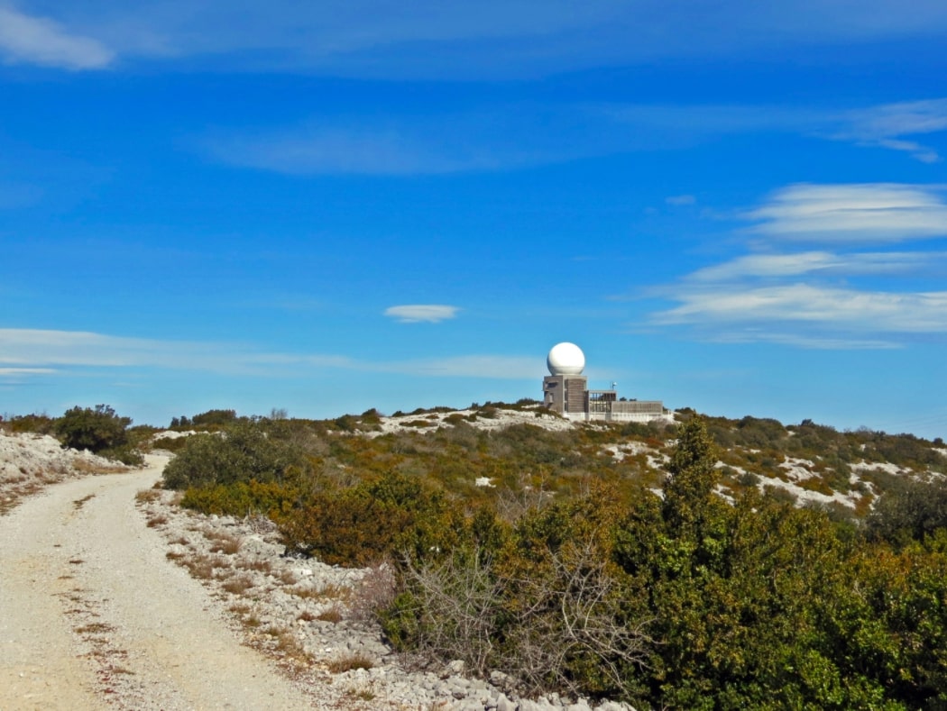
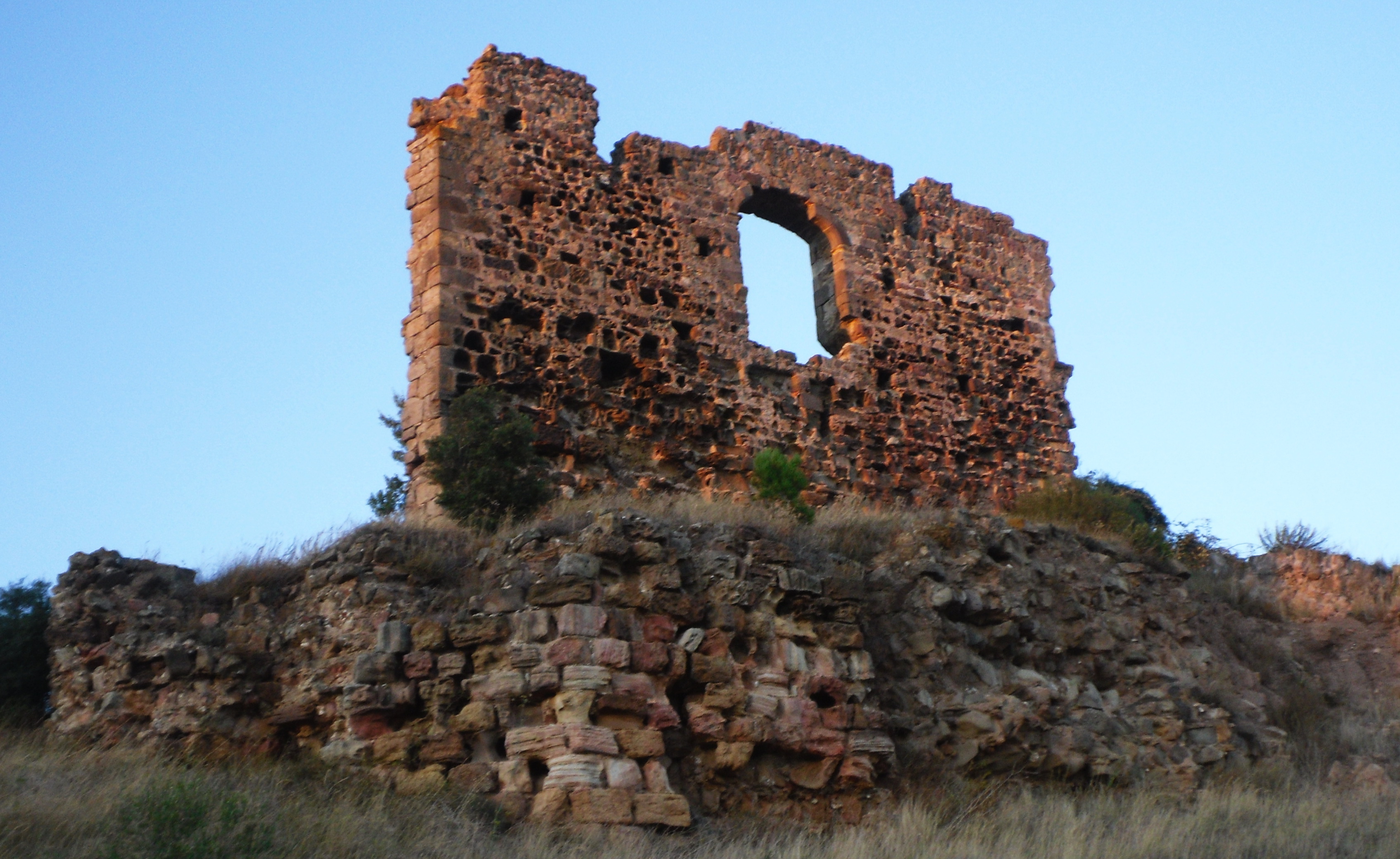
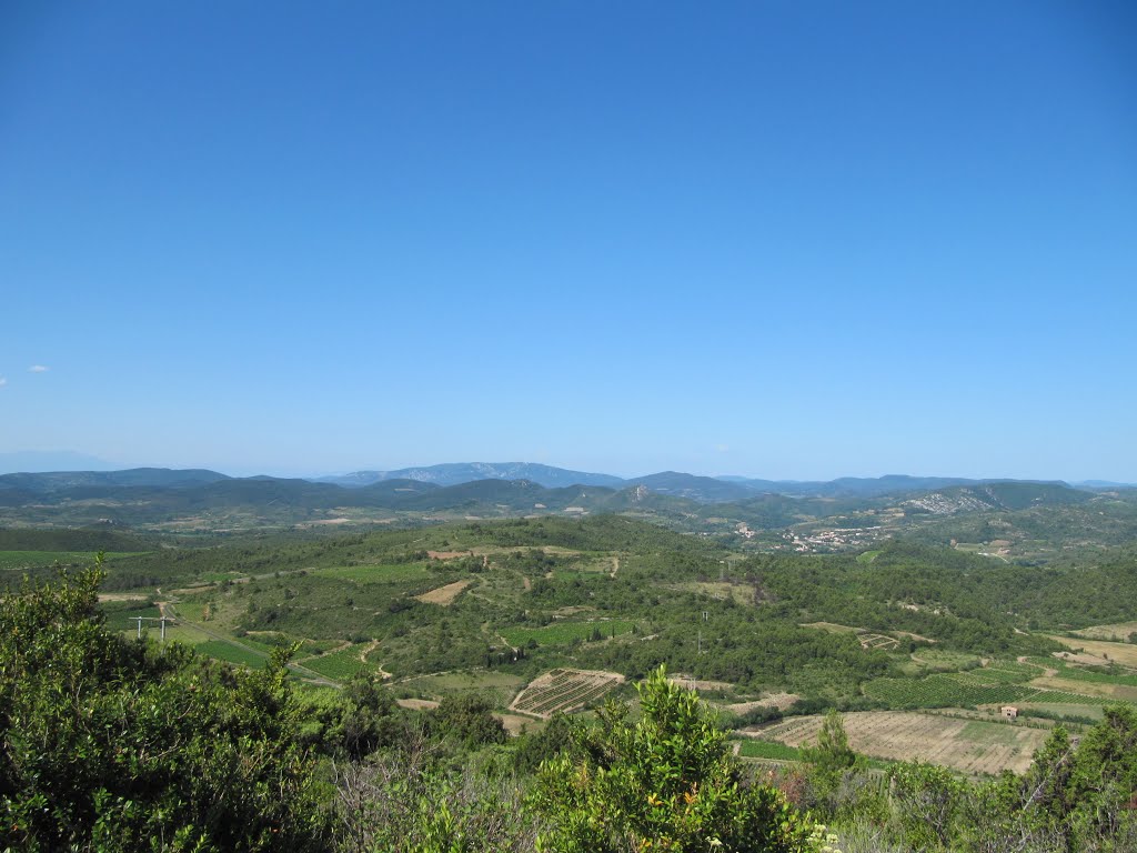
Starting from the village of Villesèque-des-Corbières, this path quickly gains height to reach a ridge offering a view of the Mediterranean Sea on one side, and the village on the other.
Note that this ridge is overhung by wind turbines.

Already more than 200,000 users!
Uphill
175m
Highest point
286m
Downhill
175m
Lowest point
111m
Route type
Loop
Download the map on your smartphone to save battery and rest assured to always keep access to the route, even without signal.
Includes IGN France and Swisstopo.
I indicate whether dogs are allowed or prohibited on this trail
All year
0 ratings
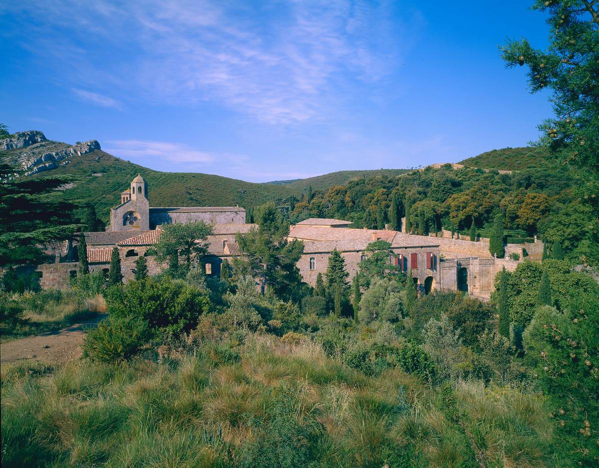
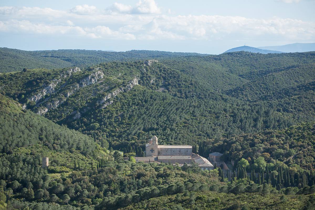
Also enjoy:

Already more than 200,000 users!